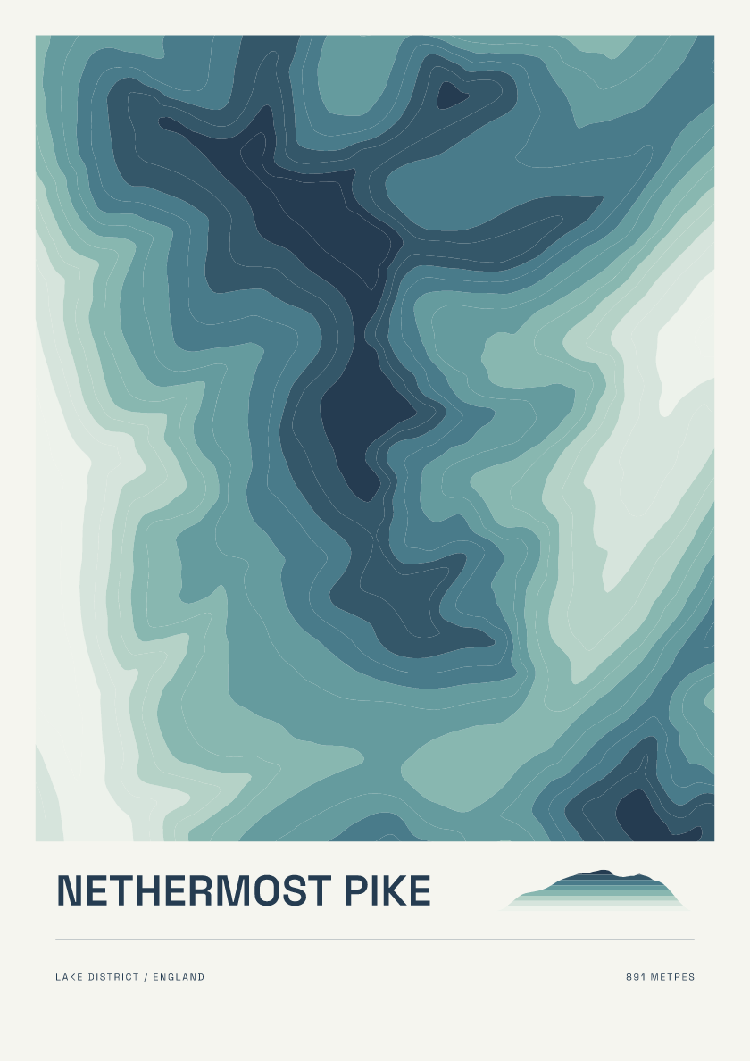
Nethermost Pike
From £18891 m · Lake District · England · Coastal
Discover posters of the Lake District’s 214 Wainwright fells, described in Alfred Wainwright’s seven Pictorial Guides. Browse familiar summits and quieter fells, from Scafell Pike to Catbells.
Every hill is available in 6 designs. Browse the mix below or choose a design to see it across the collection.
891 m · Lake District · England · Coastal

568 m · Lake District · England · Nightfall
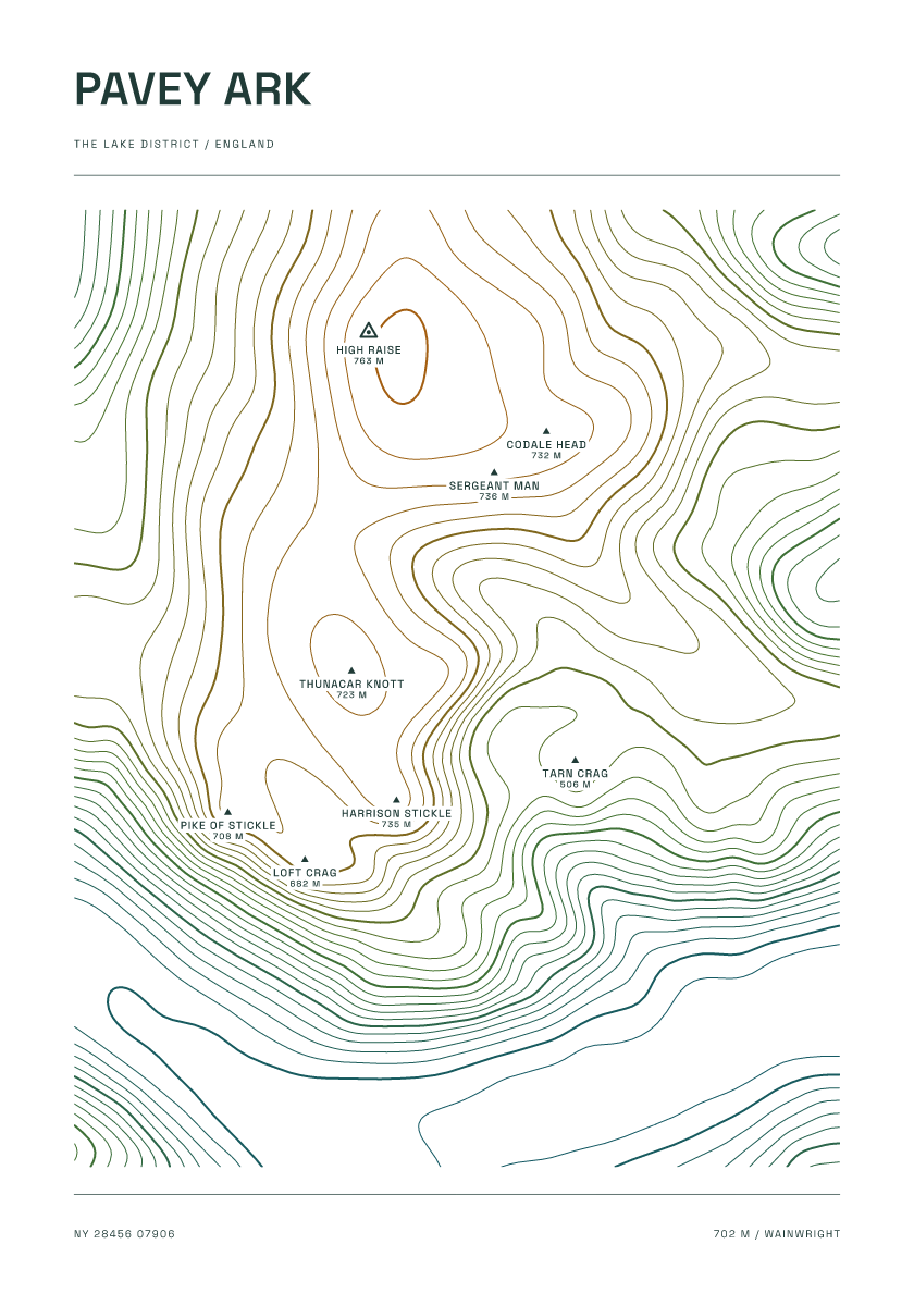
702 m · Lake District · England · Carto
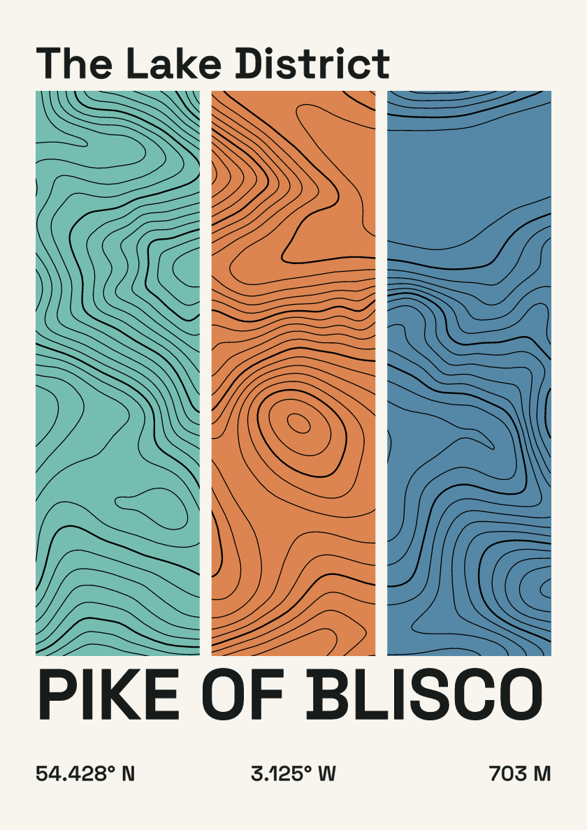
703 m · Lake District · England · Stripes
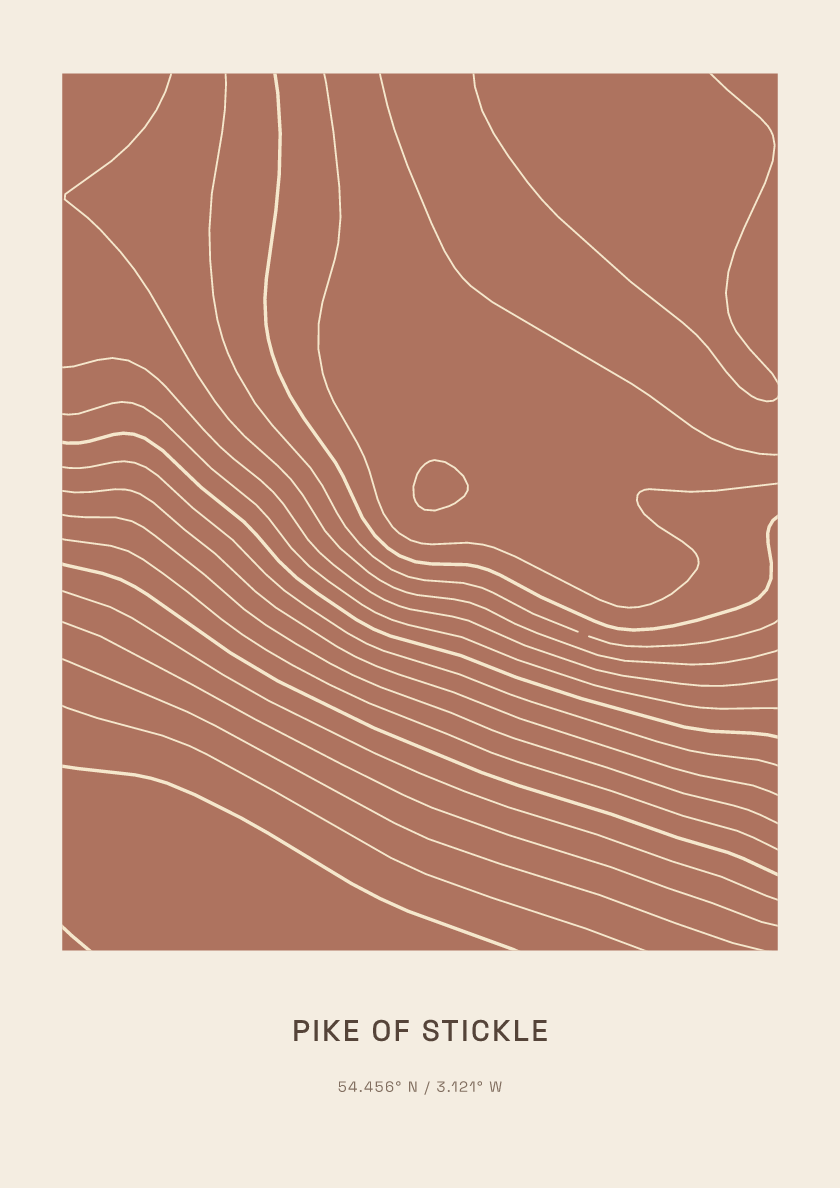
708 m · Lake District · England · Clay
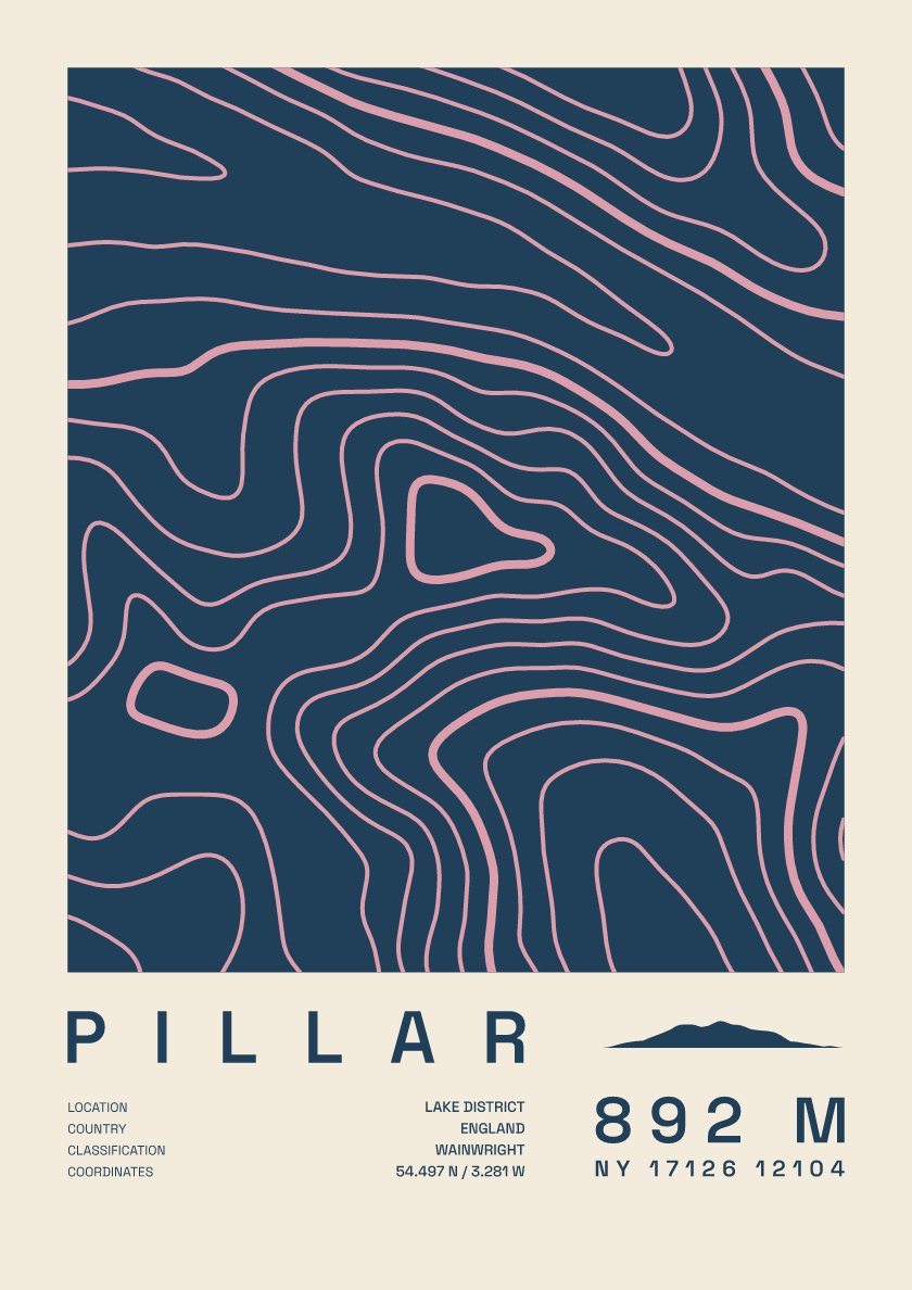
892 m · Lake District · England · Fact sheet
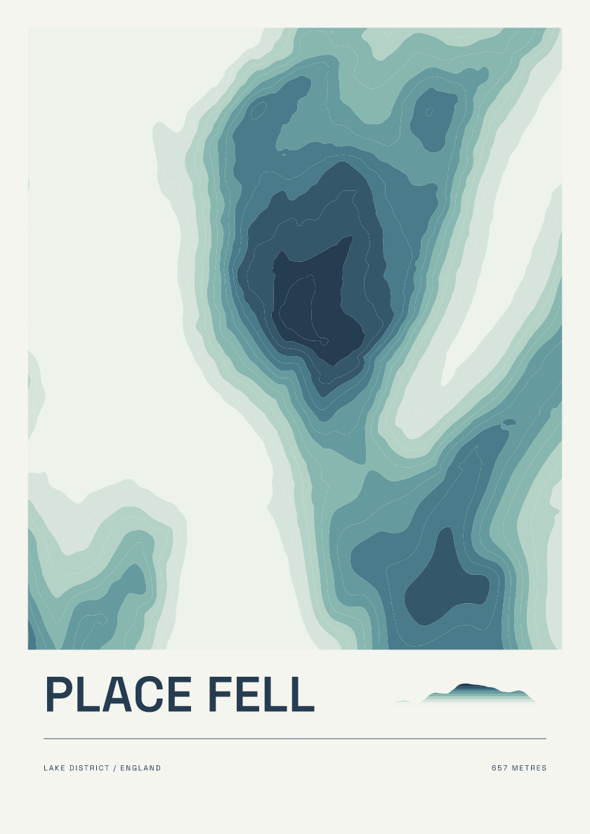
657 m · Lake District · England · Coastal

883 m · Lake District · England · Nightfall
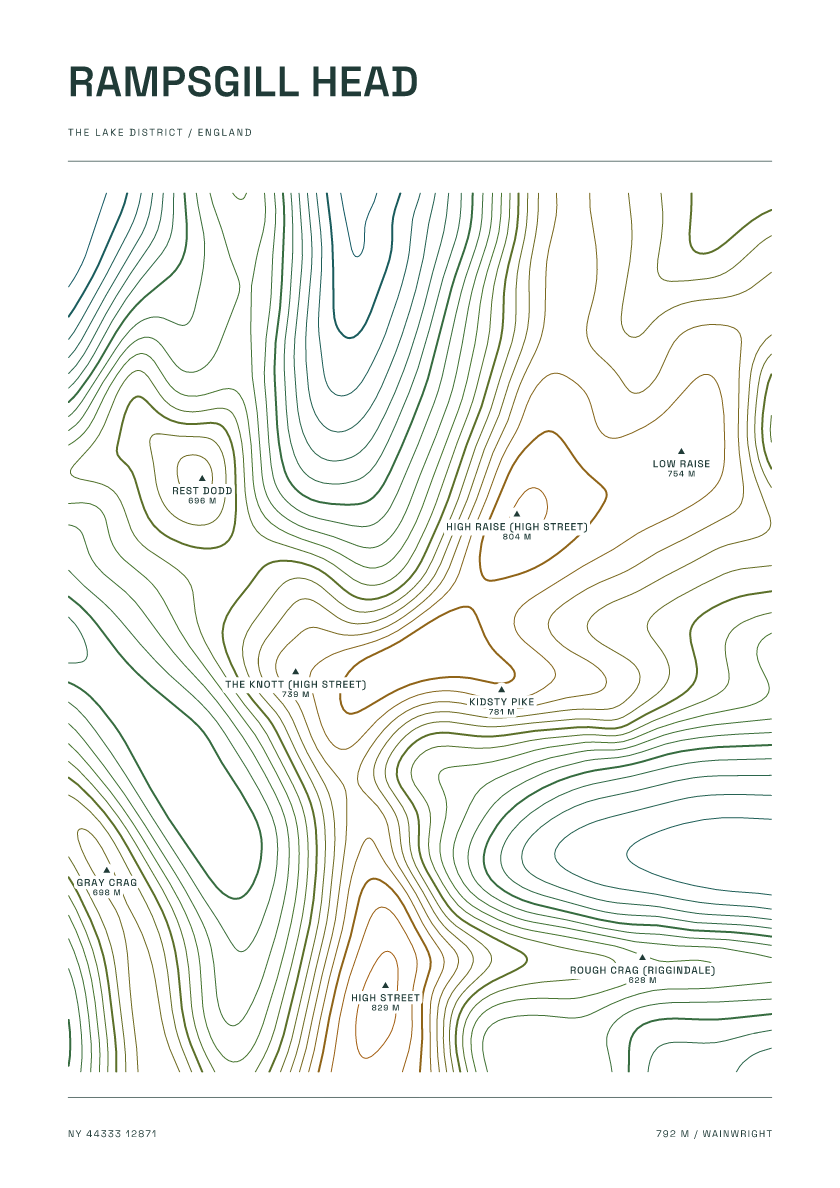
792 m · Lake District · England · Carto
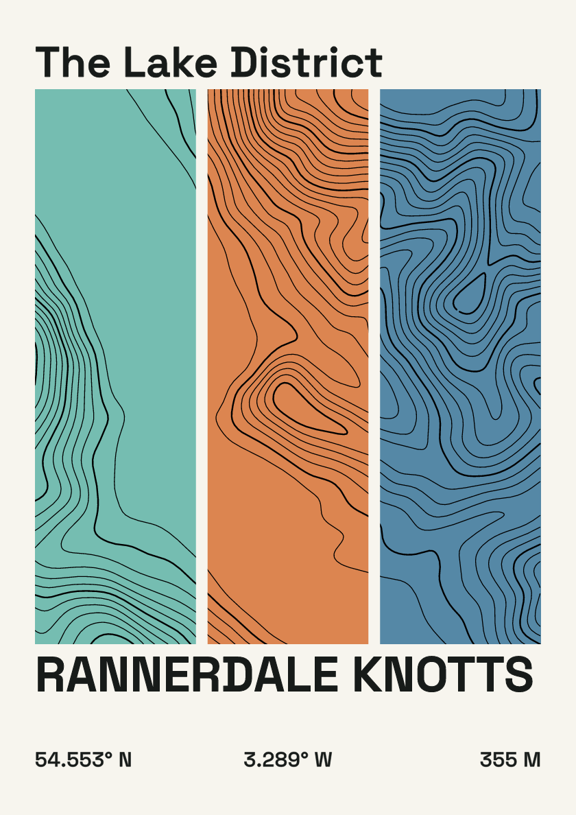
355 m · Lake District · England · Stripes
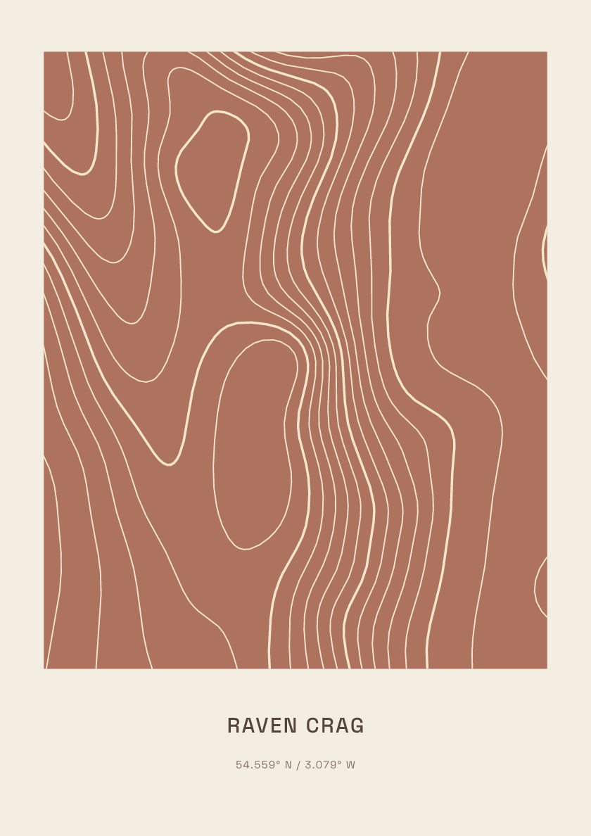
461 m · Lake District · England · Clay
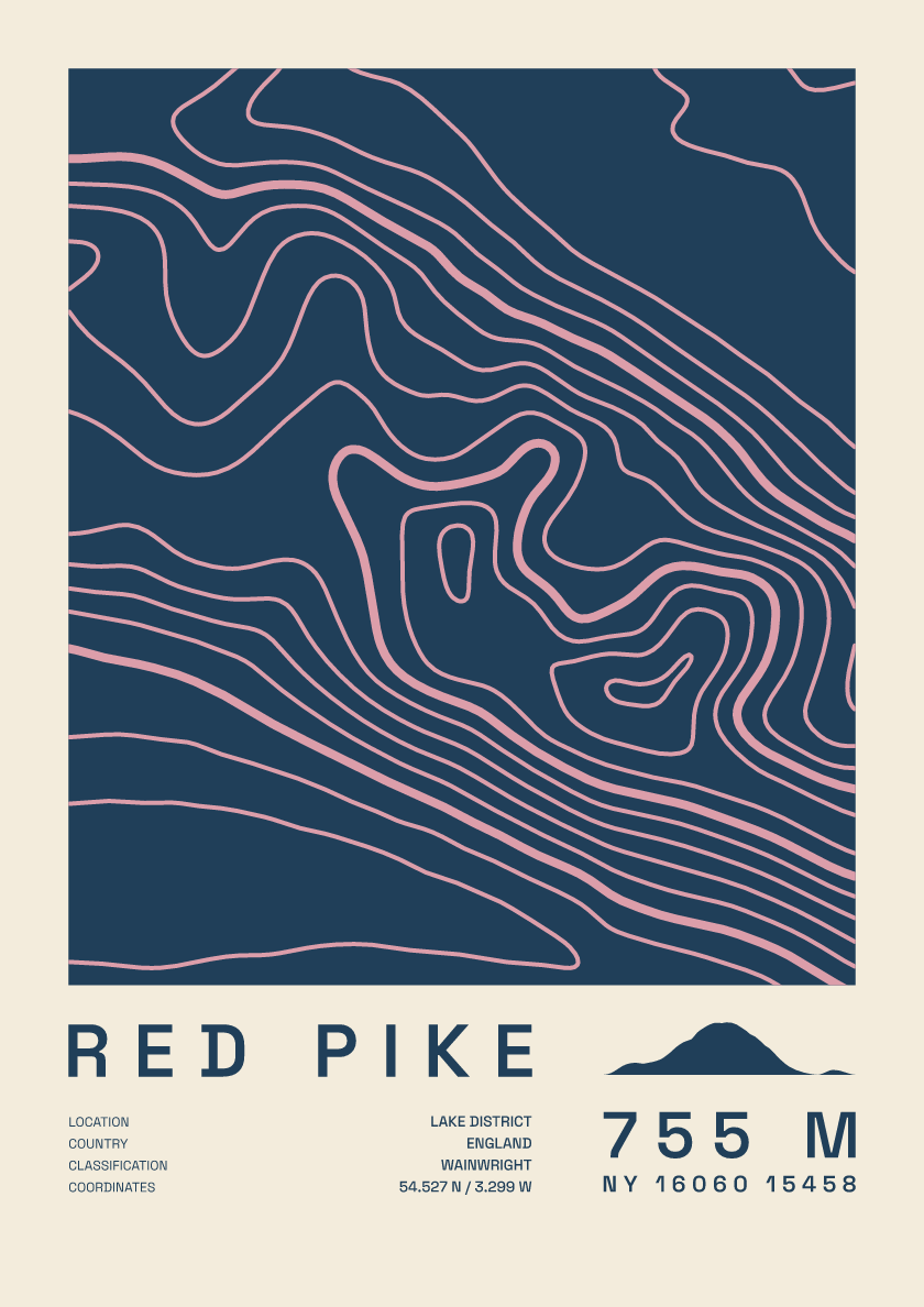
755 m · Lake District · England · Fact sheet
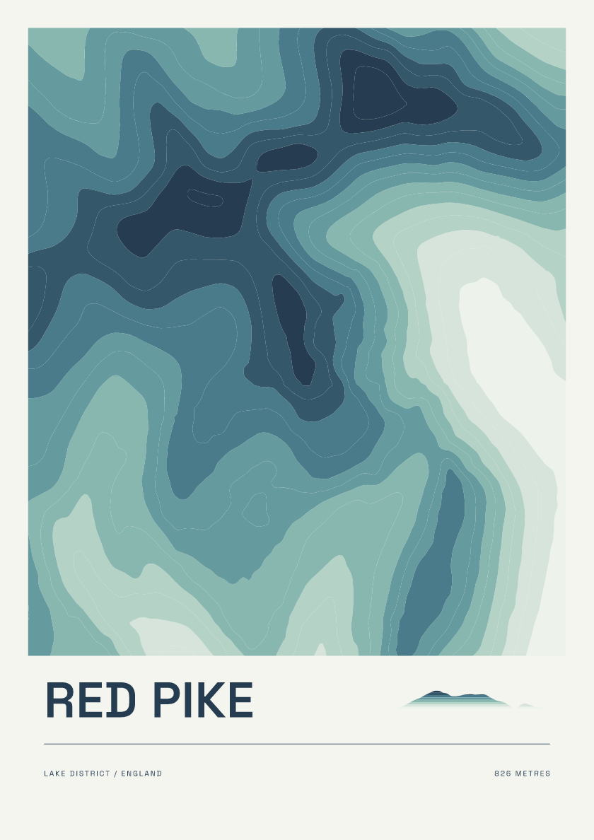
826 m · Lake District · England · Coastal
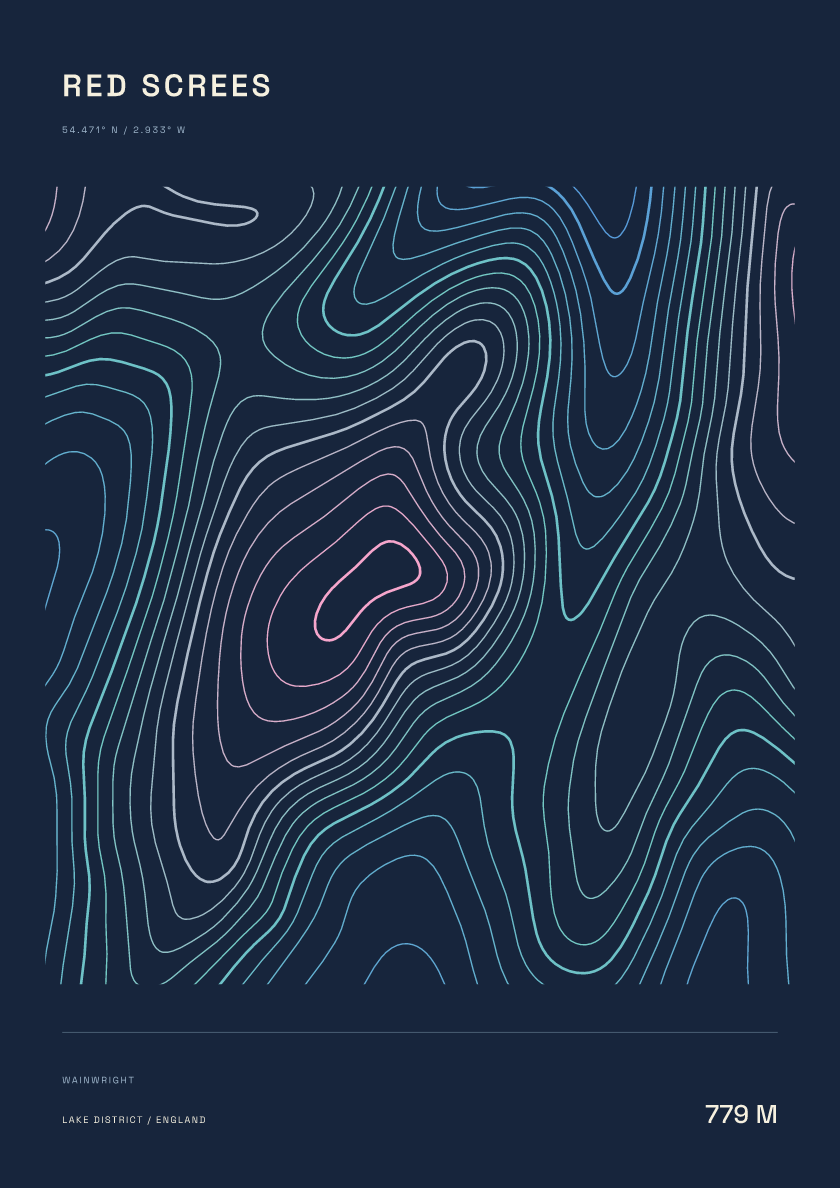
779 m · Lake District · England · Nightfall
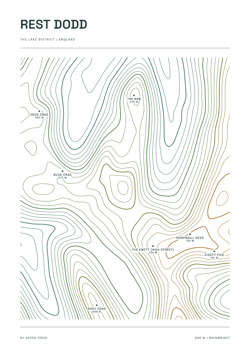
696 m · Lake District · England · Carto
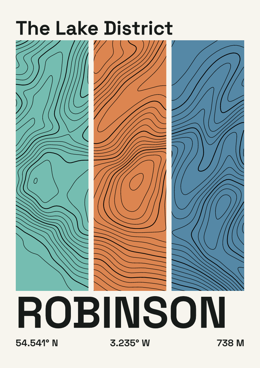
738 m · Lake District · England · Stripes
651 m · Lake District · England · Clay
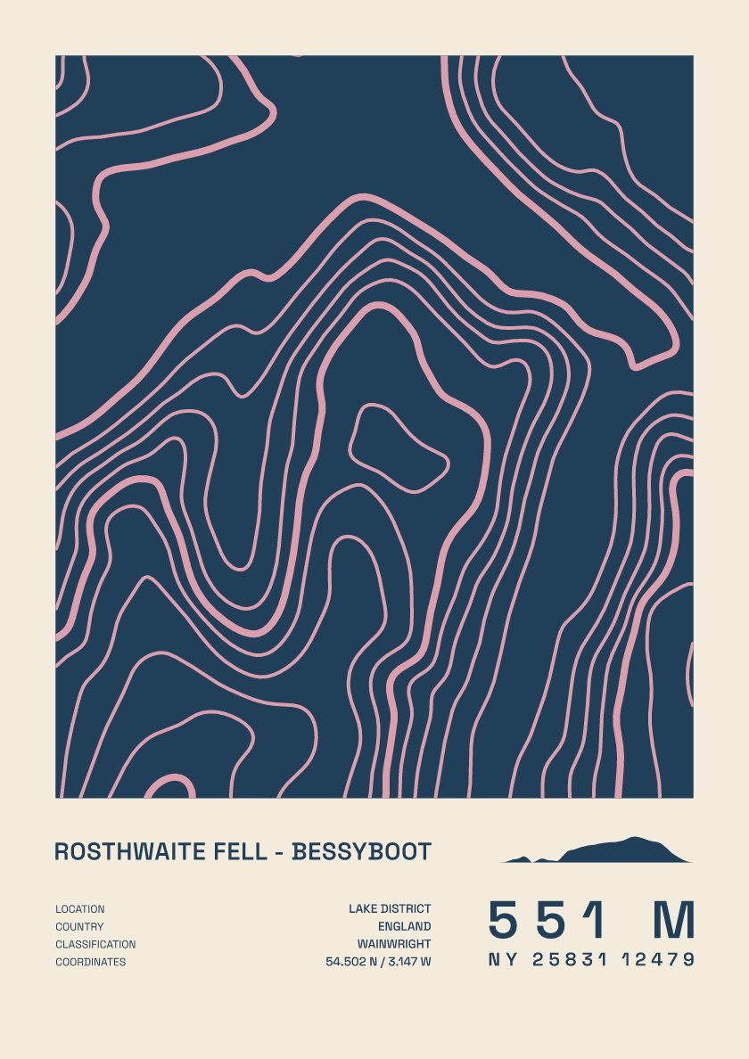
551 m · Lake District · England · Fact sheet
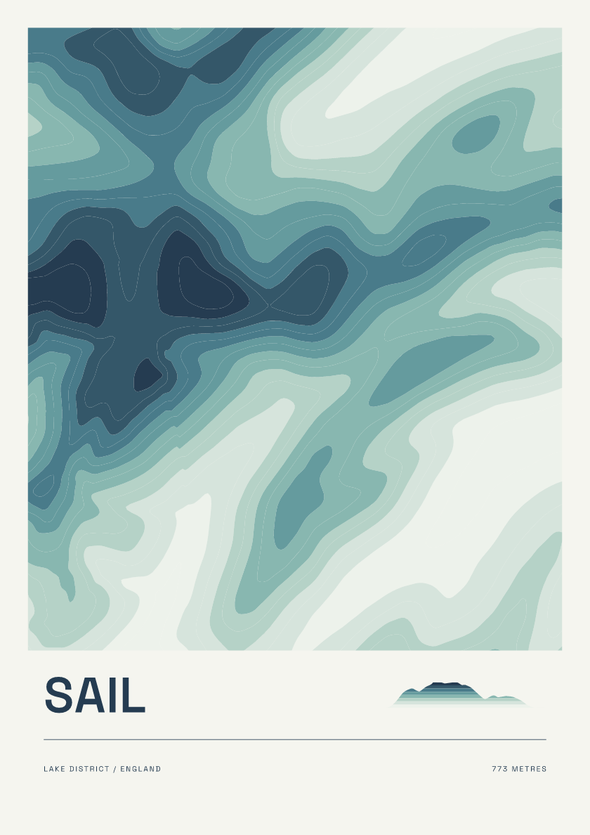
773 m · Lake District · England · Coastal

359 m · Lake District · England · Nightfall
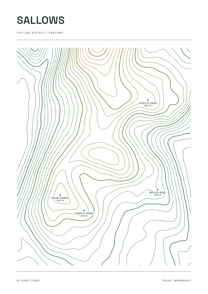
516 m · Lake District · England · Carto
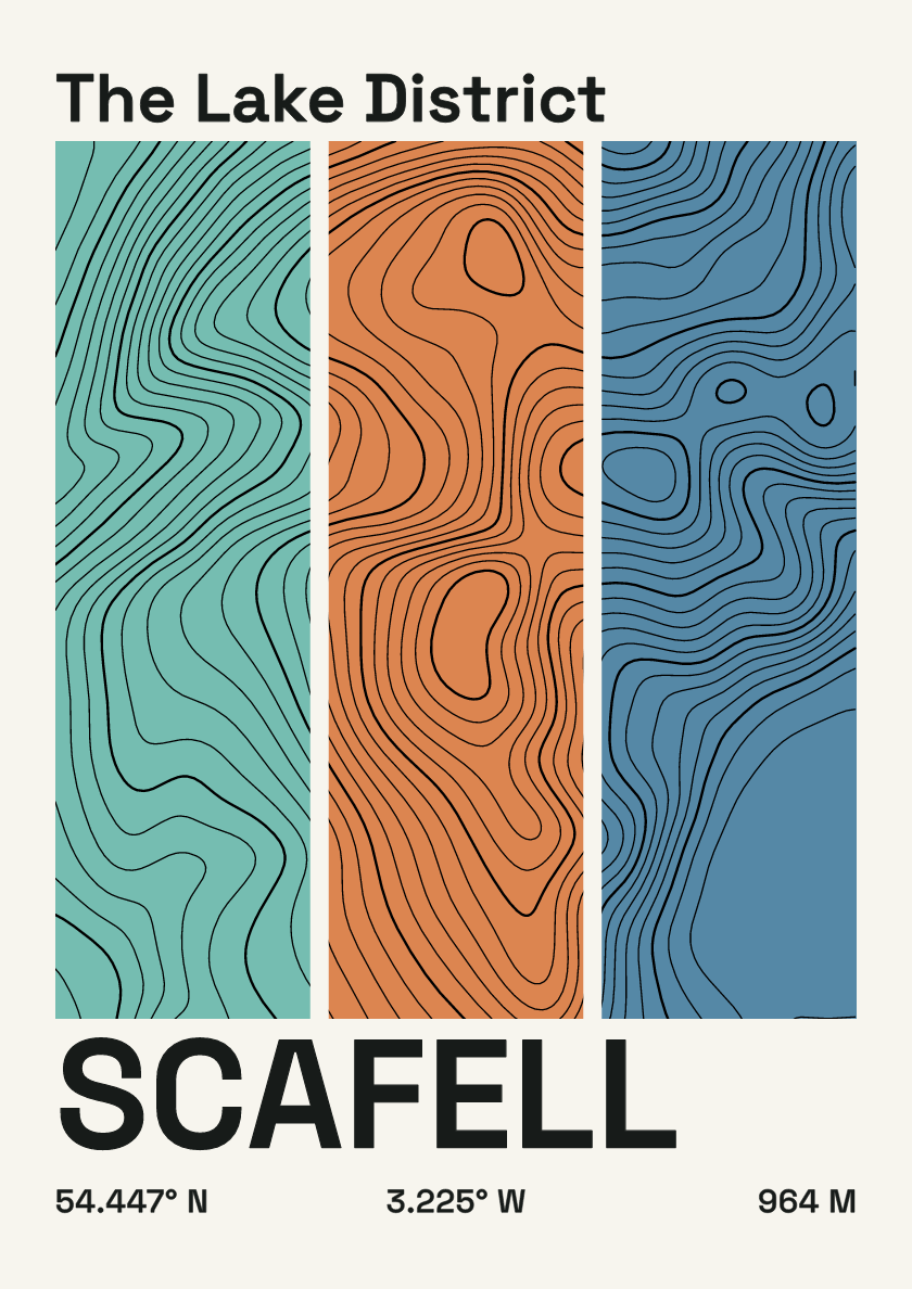
964 m · Lake District · England · Stripes
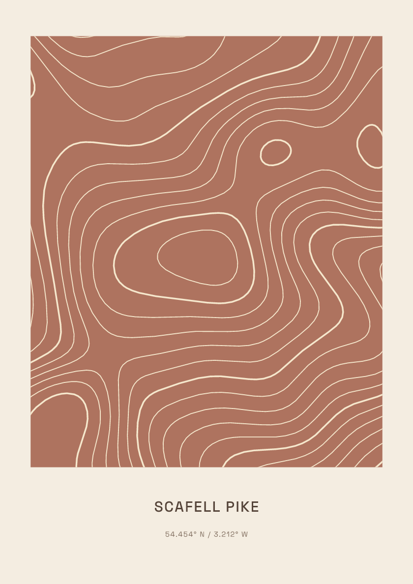
978 m · Lake District · England · Clay
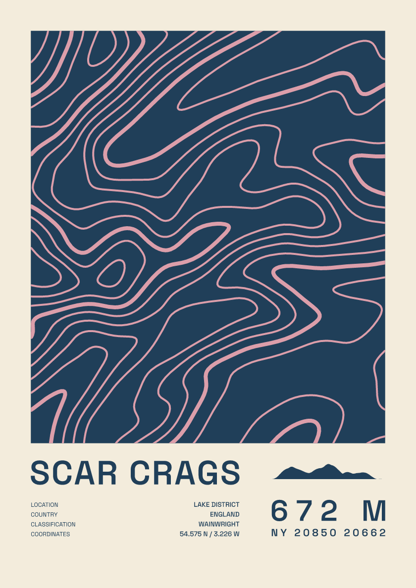
672 m · Lake District · England · Fact sheet
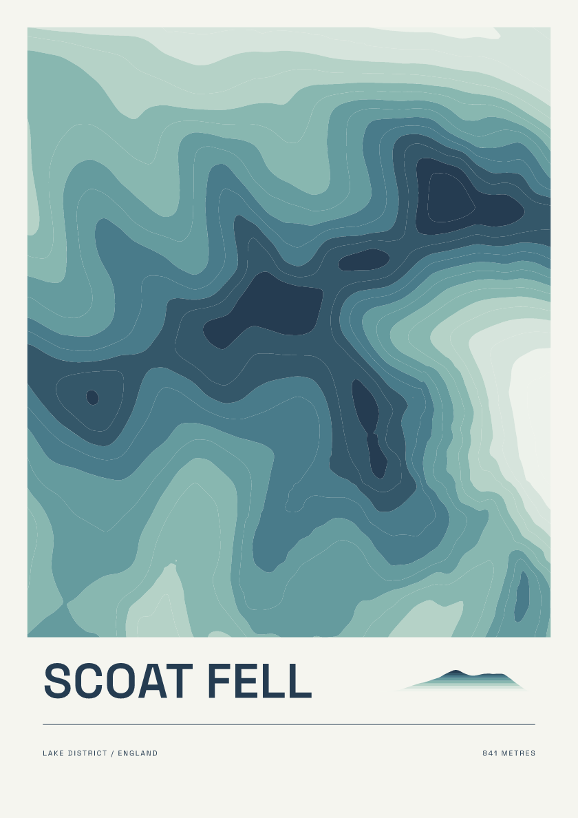
841 m · Lake District · England · Coastal
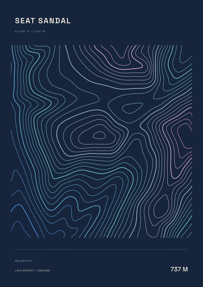
737 m · Lake District · England · Nightfall
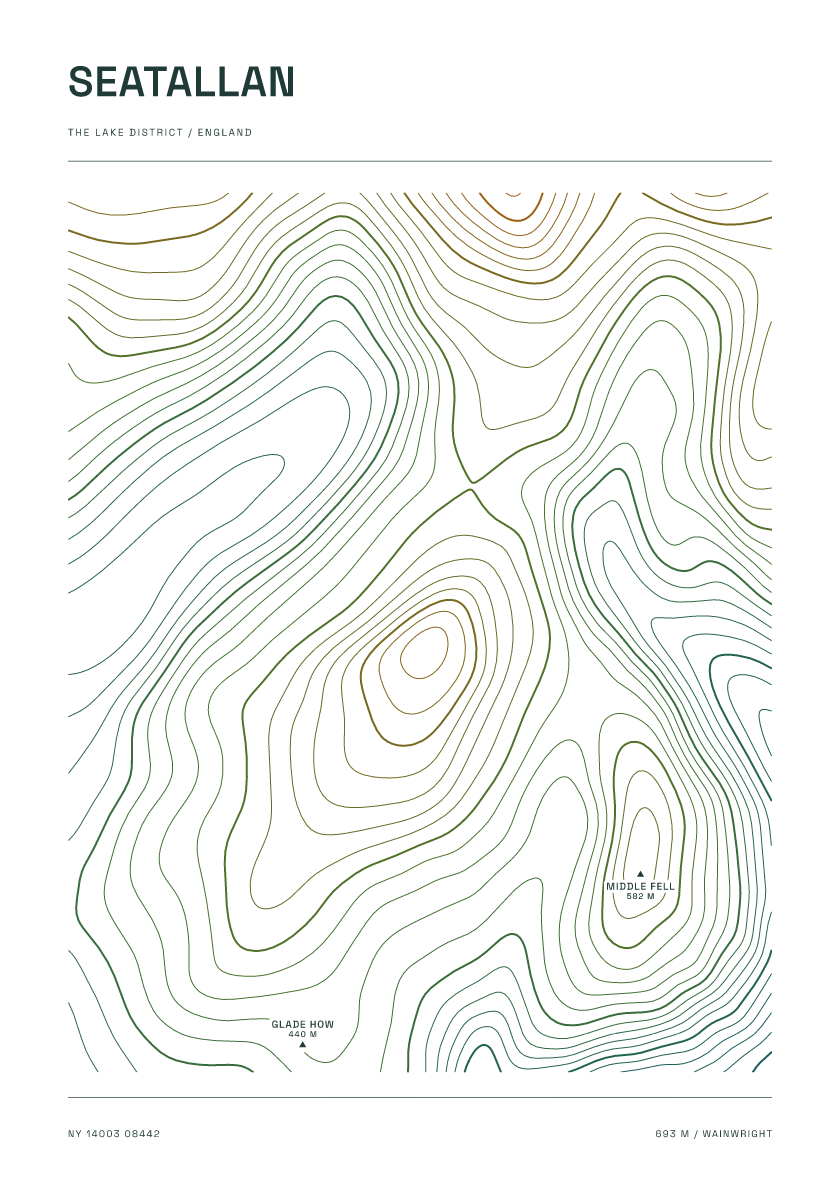
693 m · Lake District · England · Carto
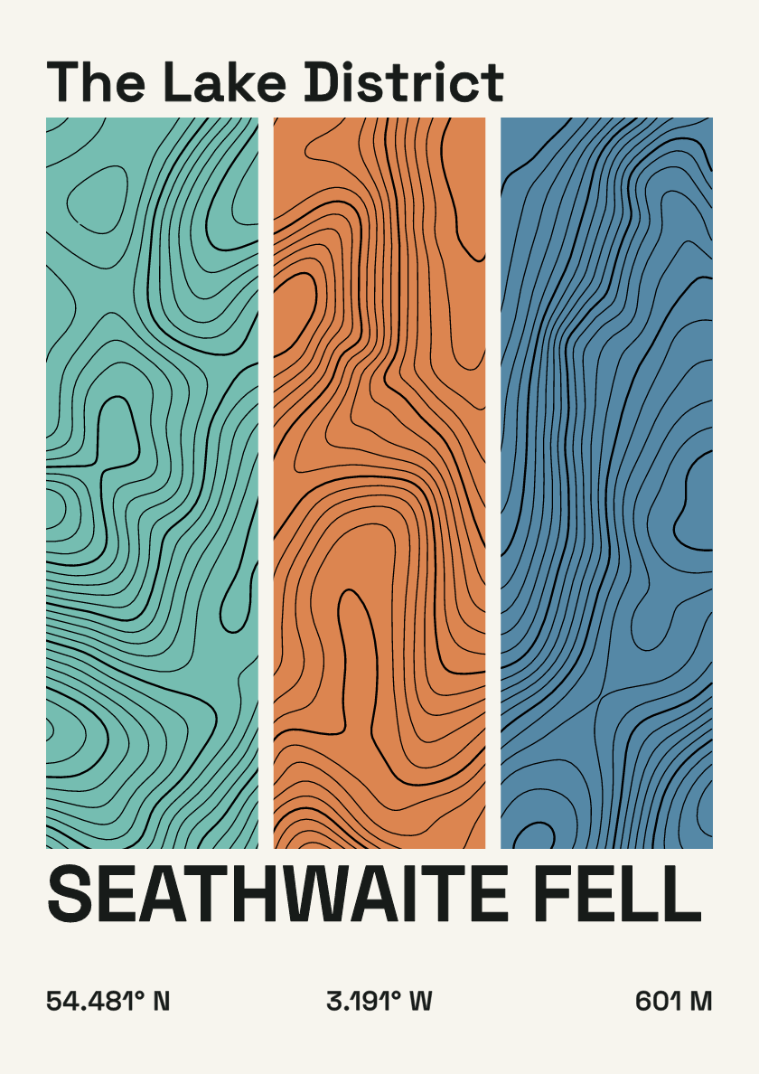
601 m · Lake District · England · Stripes
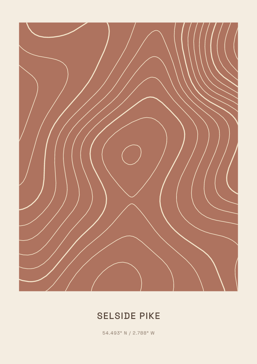
655 m · Lake District · England · Clay
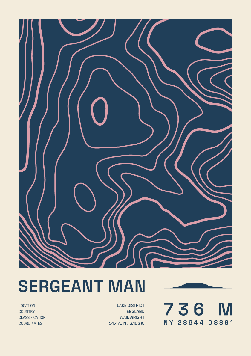
736 m · Lake District · England · Fact sheet
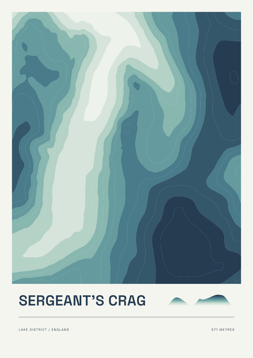
571 m · Lake District · England · Coastal
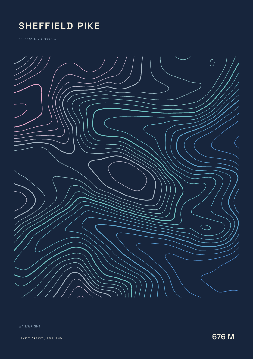
676 m · Lake District · England · Nightfall
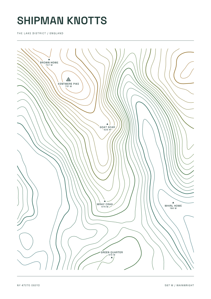
587 m · Lake District · England · Carto
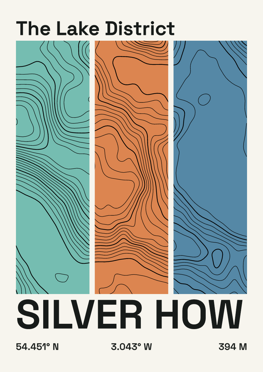
394 m · Lake District · England · Stripes
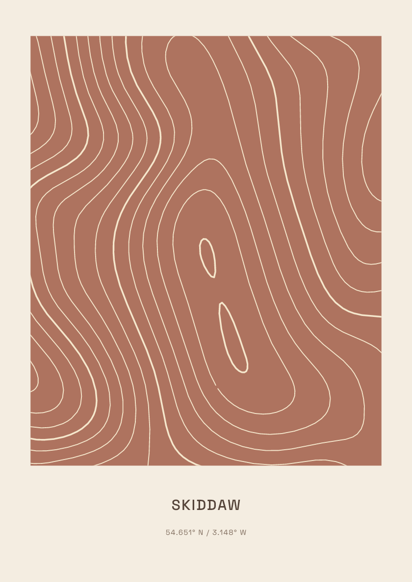
930 m · Lake District · England · Clay
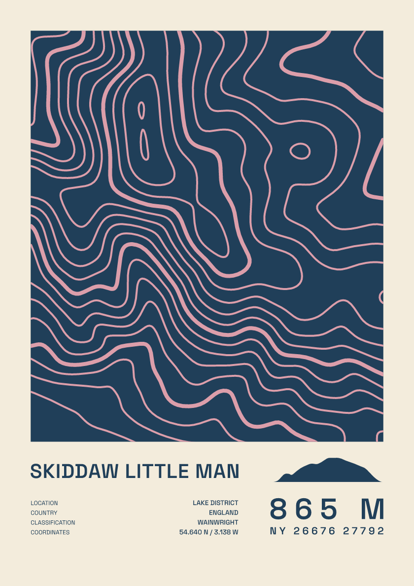
865 m · Lake District · England · Fact sheet
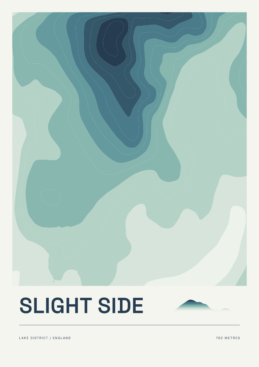
762 m · Lake District · England · Coastal
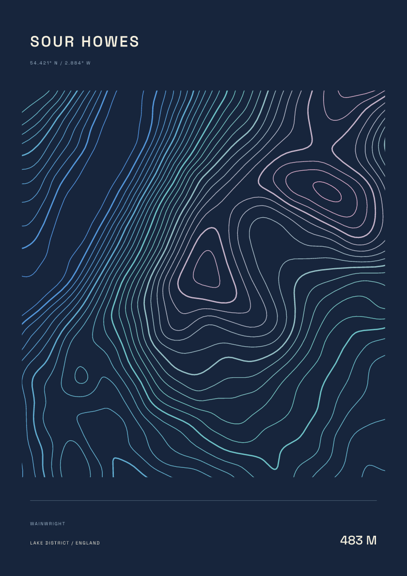
483 m · Lake District · England · Nightfall
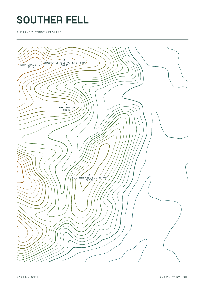
522 m · Lake District · England · Carto
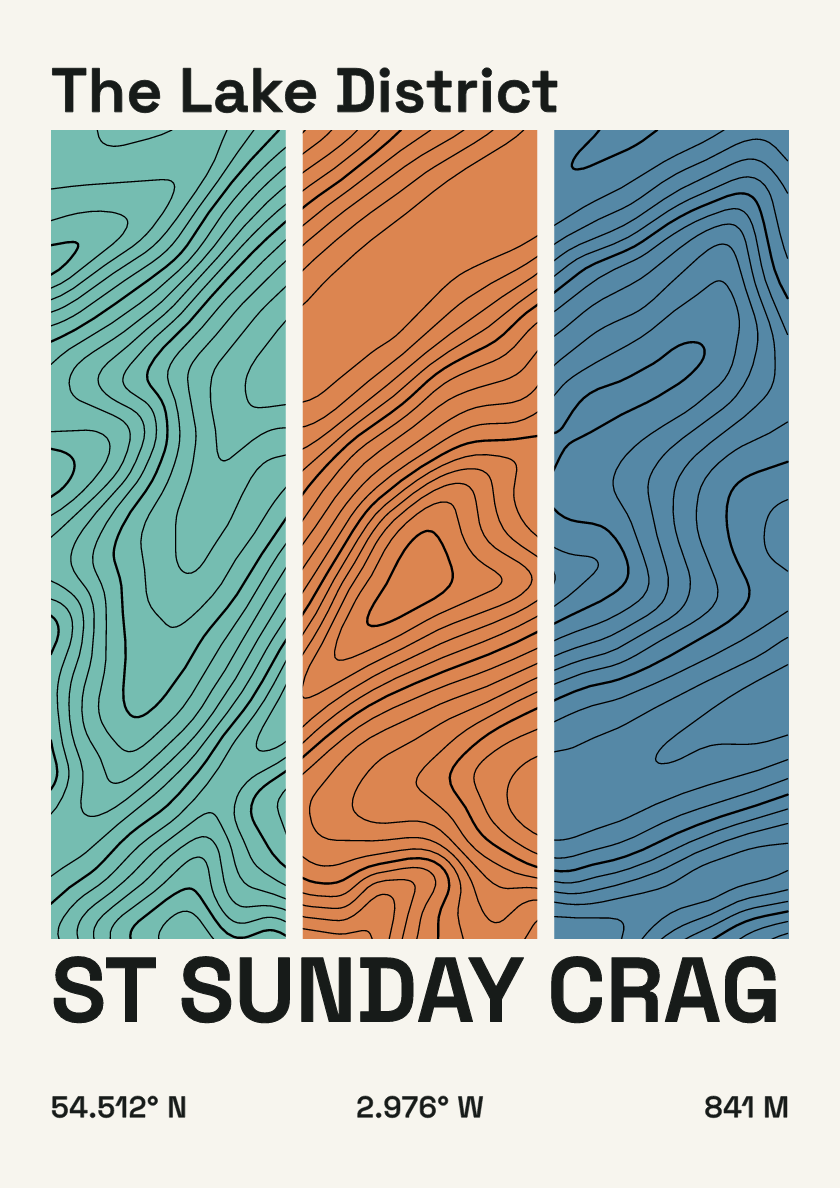
841 m · Lake District · England · Stripes
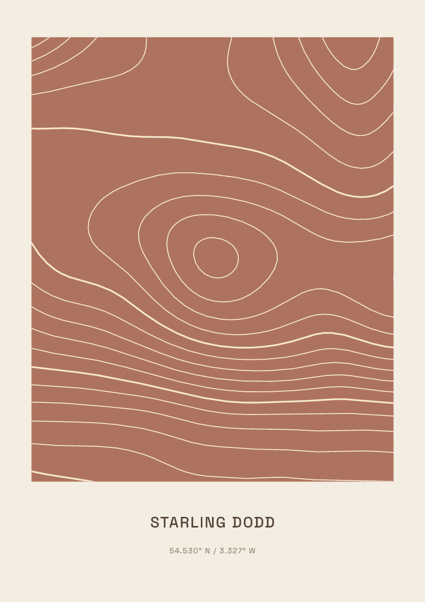
633 m · Lake District · England · Clay
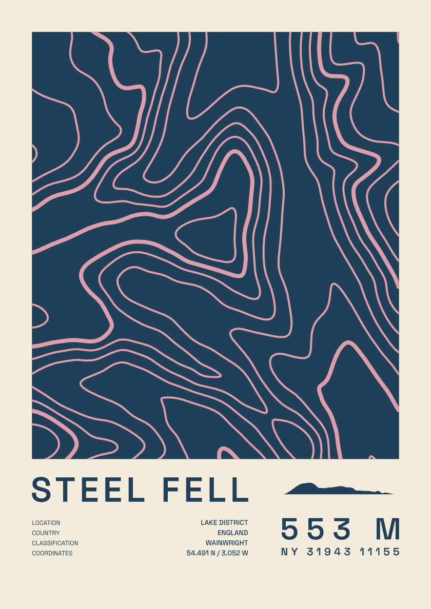
553 m · Lake District · England · Fact sheet
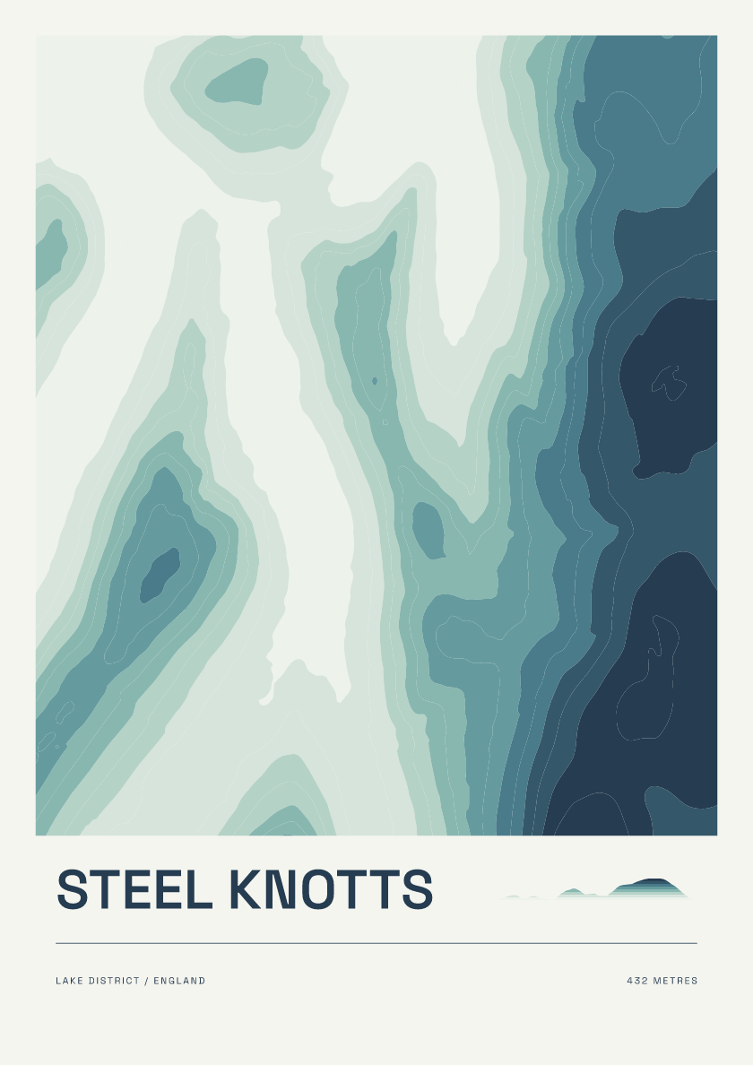
432 m · Lake District · England · Coastal

819 m · Lake District · England · Nightfall
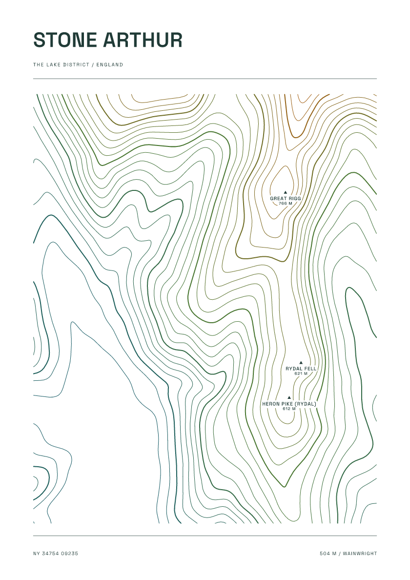
504 m · Lake District · England · Carto
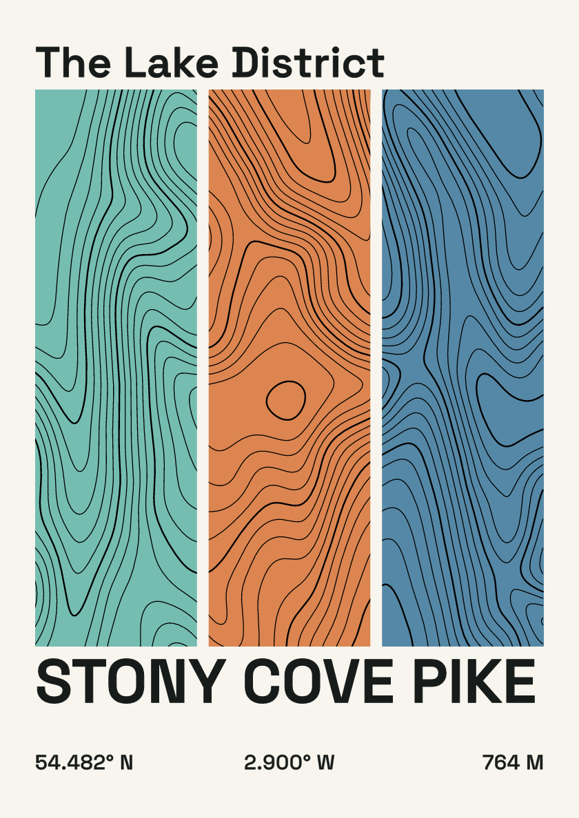
764 m · Lake District · England · Stripes
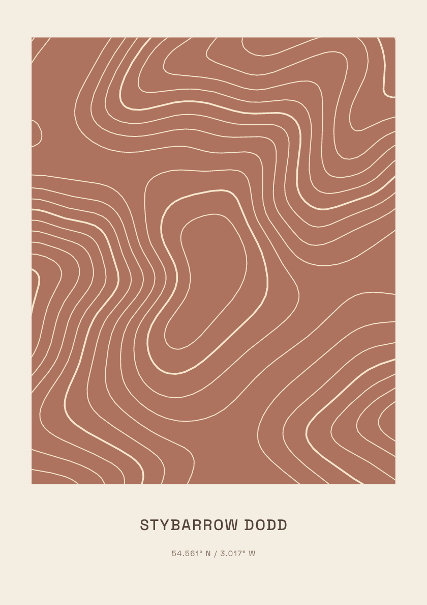
844 m · Lake District · England · Clay
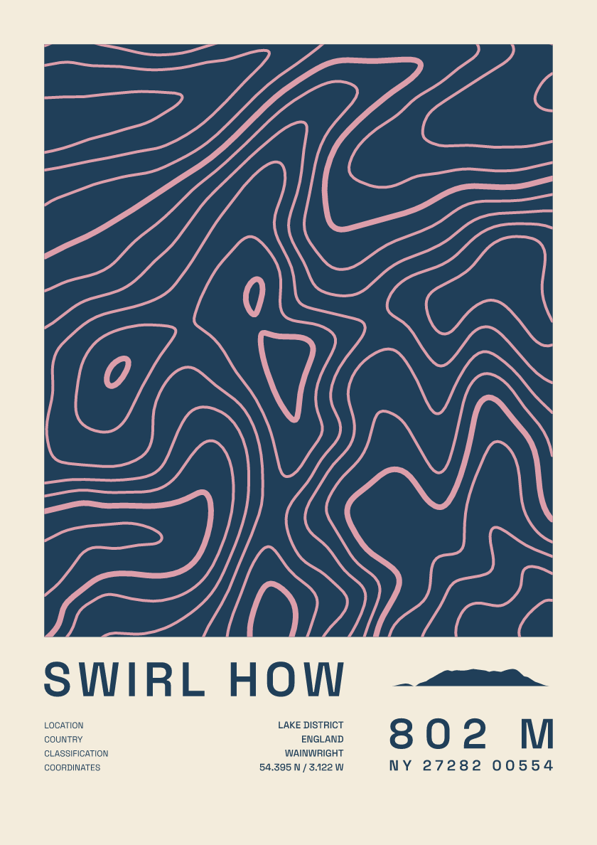
802 m · Lake District · England · Fact sheet