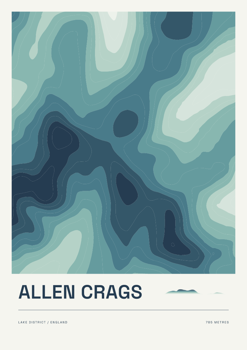
Allen Crags
From £18785 m · Lake District · England · Coastal
Browse contour posters of the Hewitts: hills in England, Wales and Ireland over 2,000 feet with at least 30 metres of drop. Explore summits across the Lake District, Snowdonia and beyond.
Every hill is available in 6 designs. Browse the mix below or choose a design to see it across the collection.
785 m · Lake District · England · Coastal
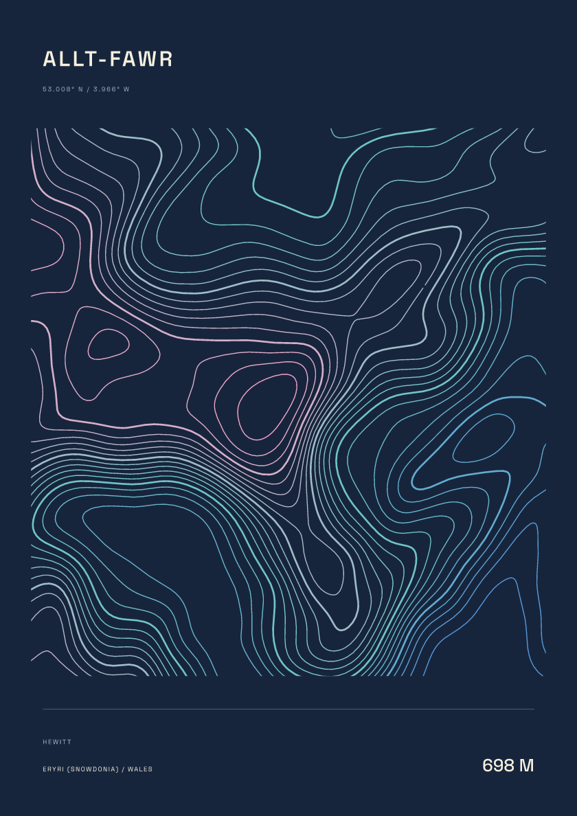
698 m · Eryri (Snowdonia) · Wales · Nightfall
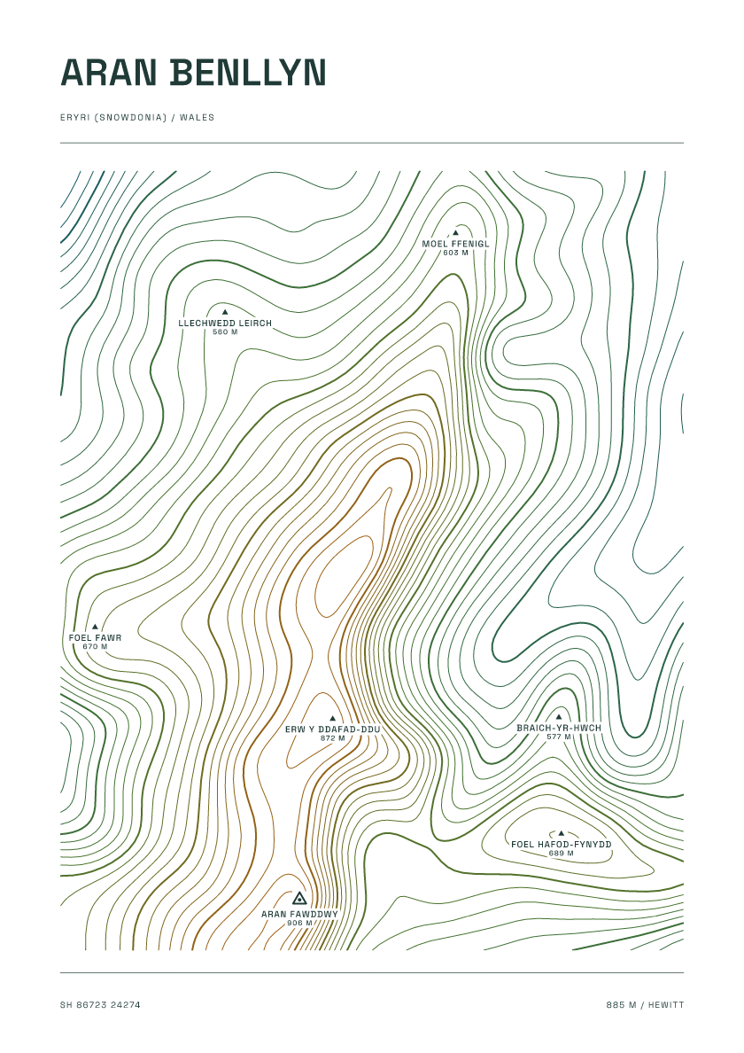
885 m · Eryri (Snowdonia) · Wales · Carto
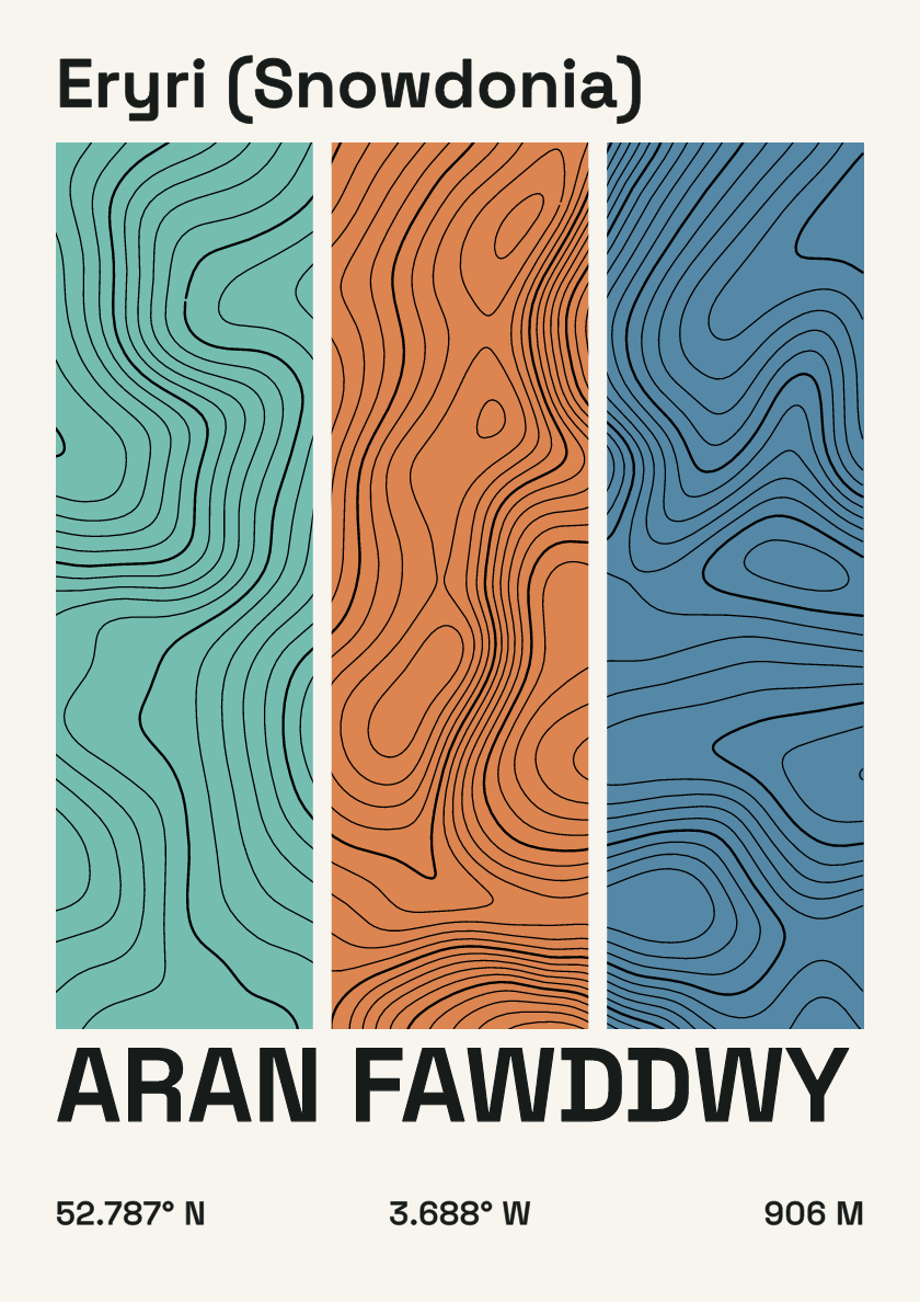
906 m · Eryri (Snowdonia) · Wales · Stripes
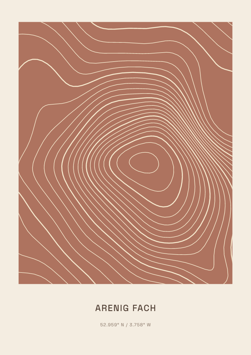
689 m · Eryri (Snowdonia) · Wales · Clay
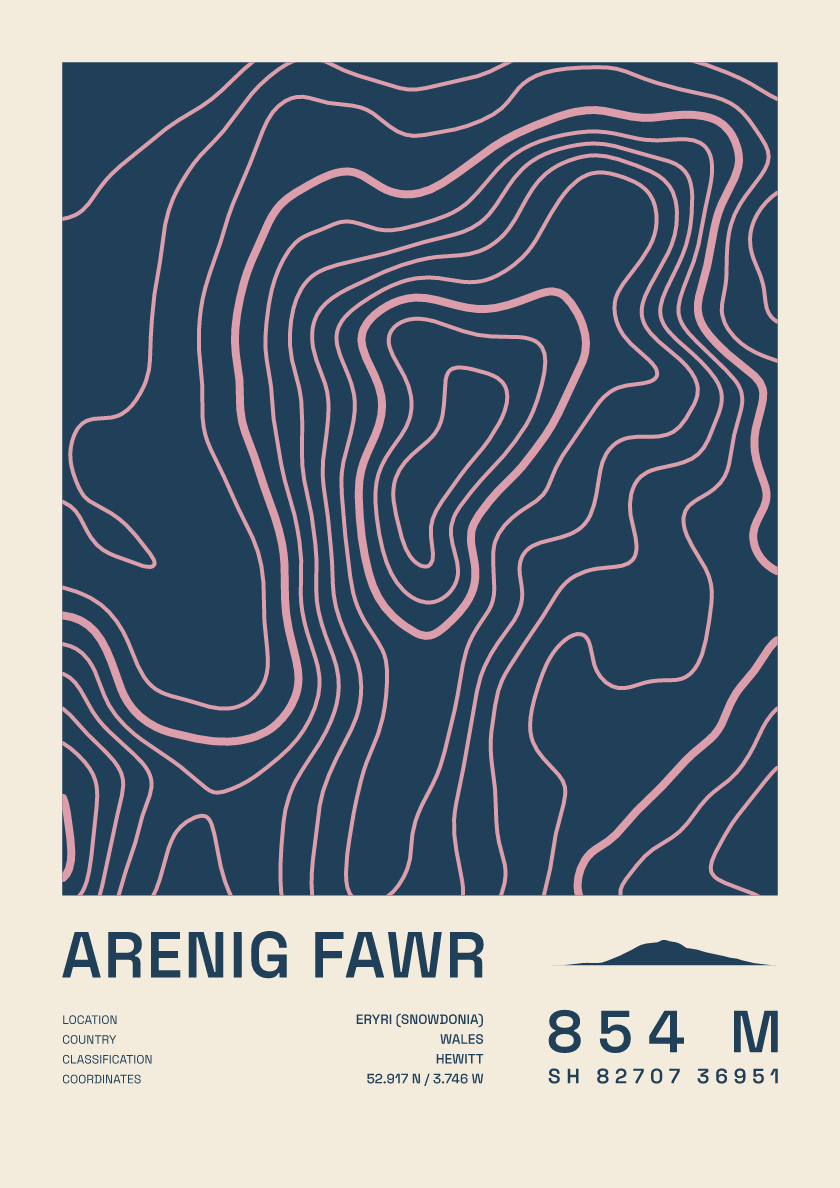
854 m · Eryri (Snowdonia) · Wales · Fact sheet
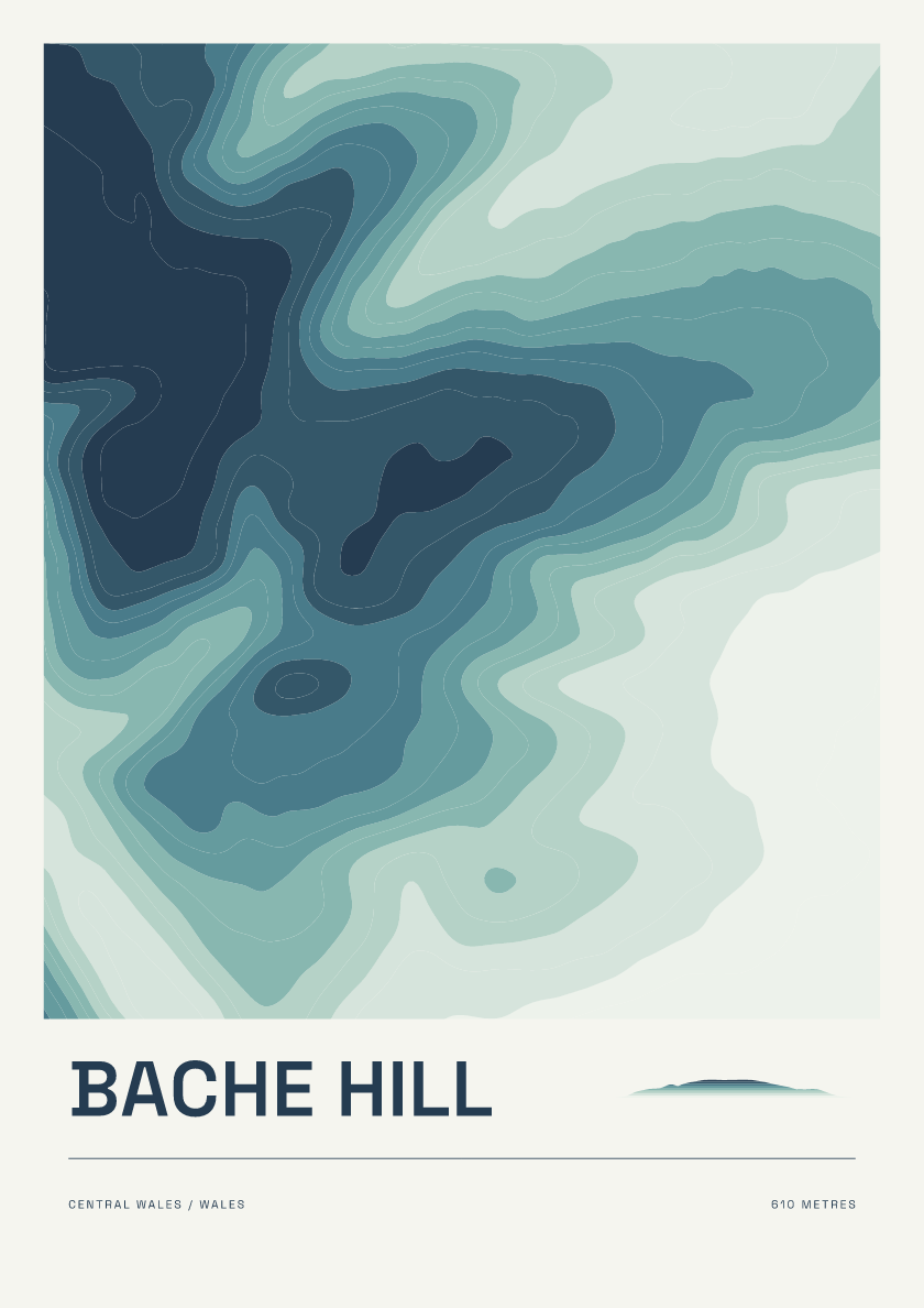
610 m · Central Wales · Wales · Coastal
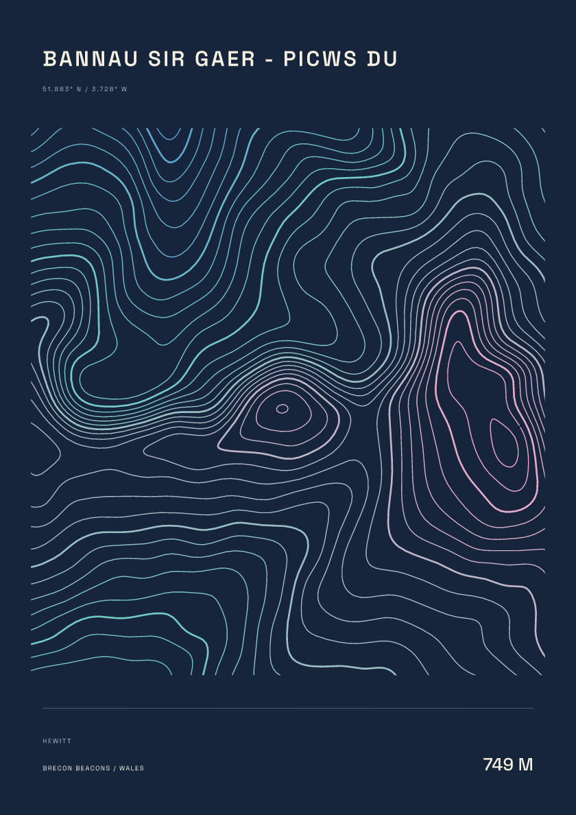
749 m · Brecon Beacons · Wales · Nightfall
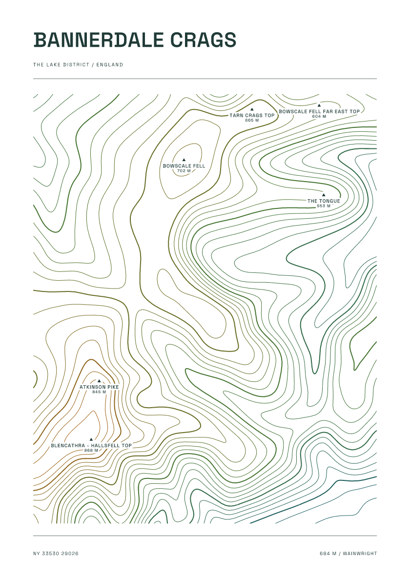
684 m · Lake District · England · Carto
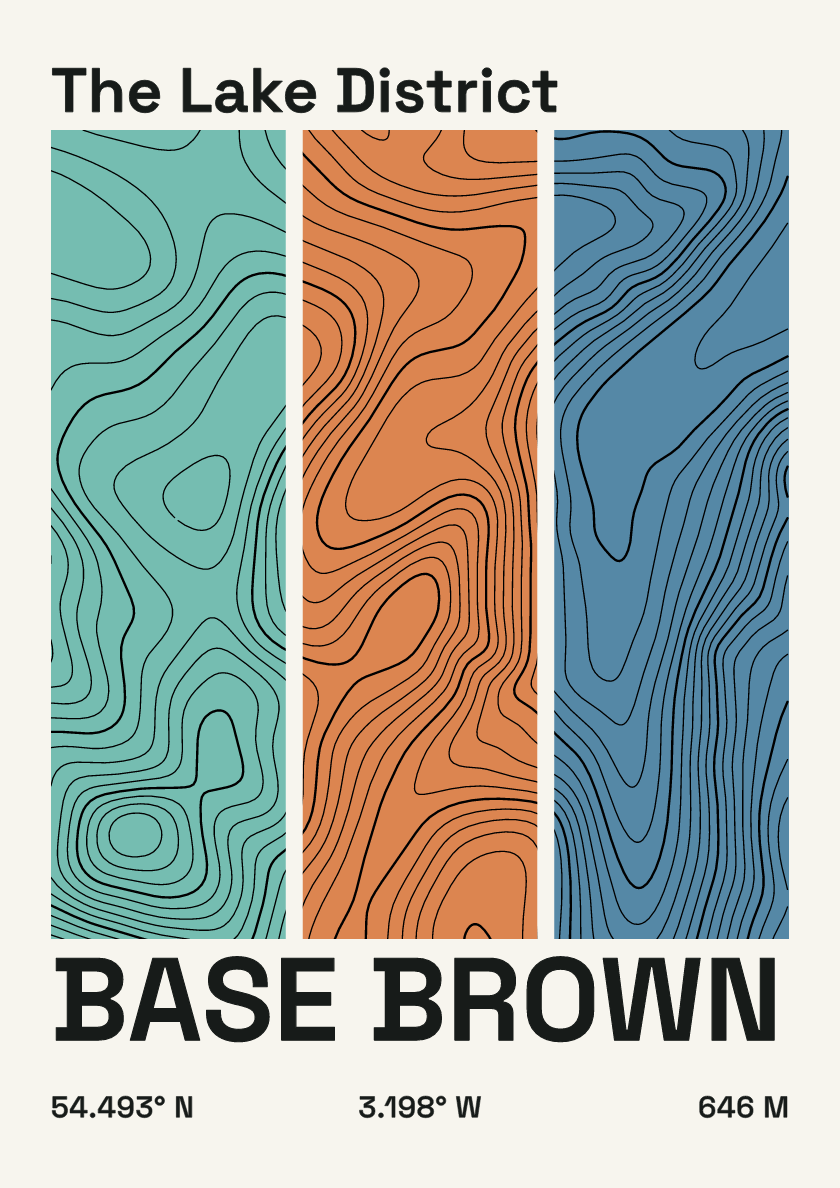
646 m · Lake District · England · Stripes
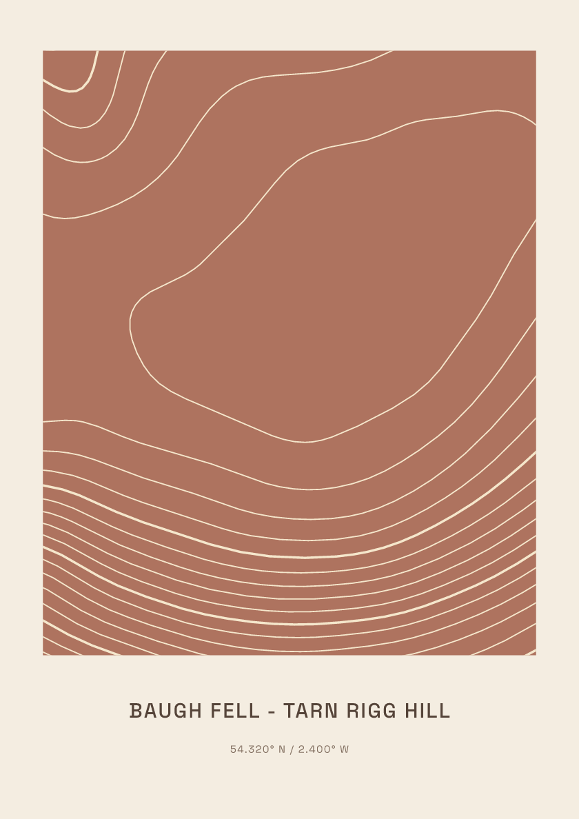
678 m · Yorkshire Dales · England · Clay
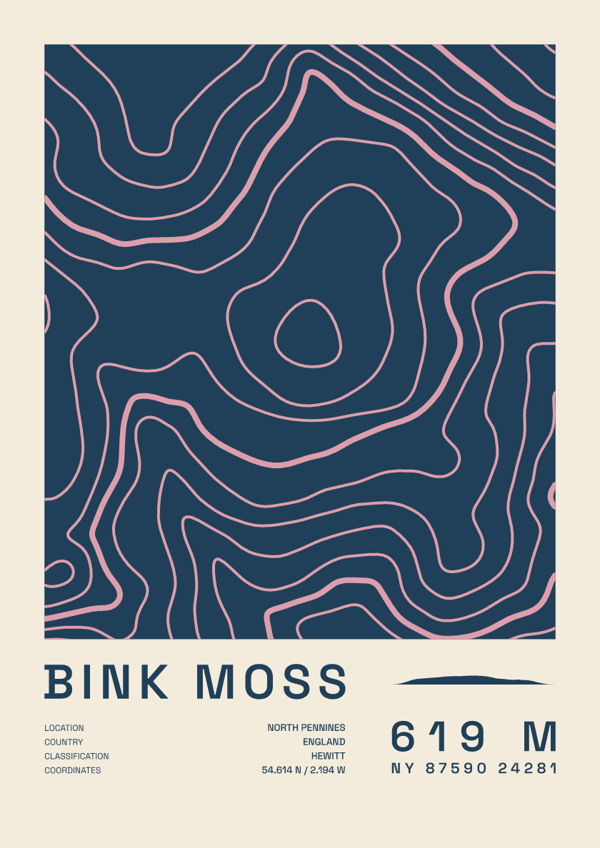
619 m · North Pennines · England · Fact sheet
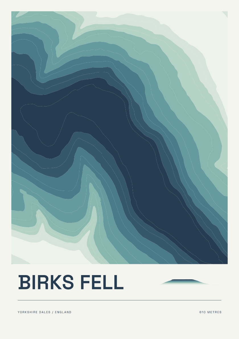
610 m · Yorkshire Dales · England · Coastal
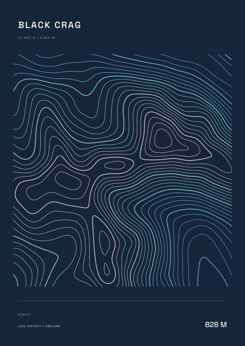
828 m · Lake District · England · Nightfall
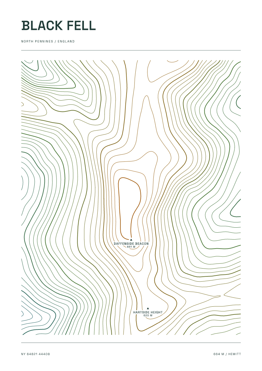
664 m · North Pennines · England · Carto
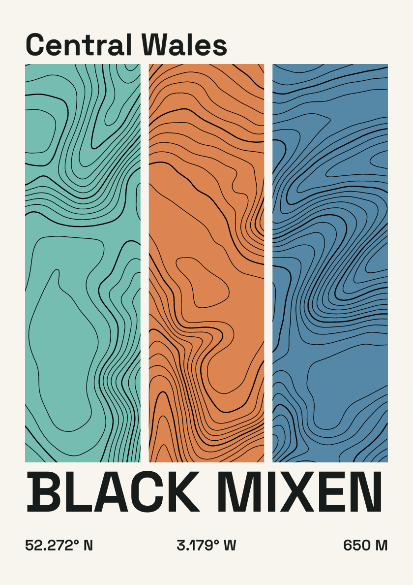
650 m · Central Wales · Wales · Stripes
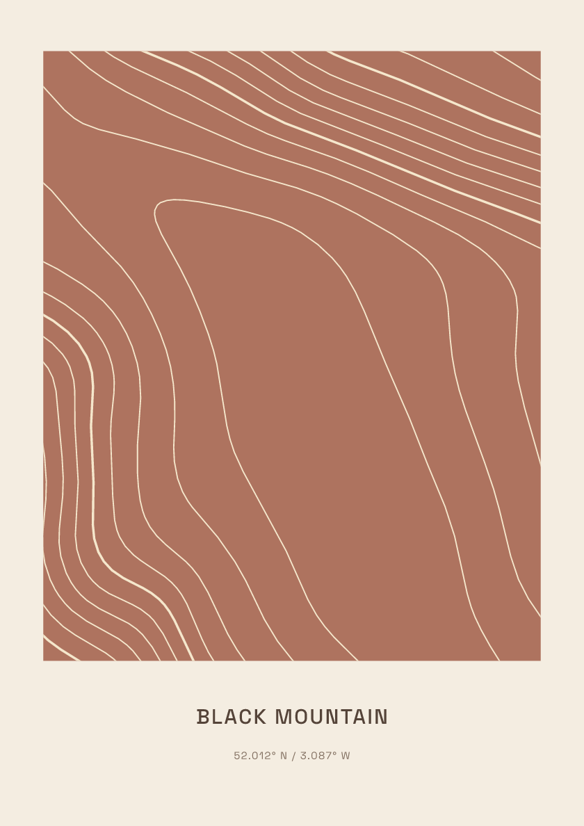
704 m · Black Mountains · Wales · Clay
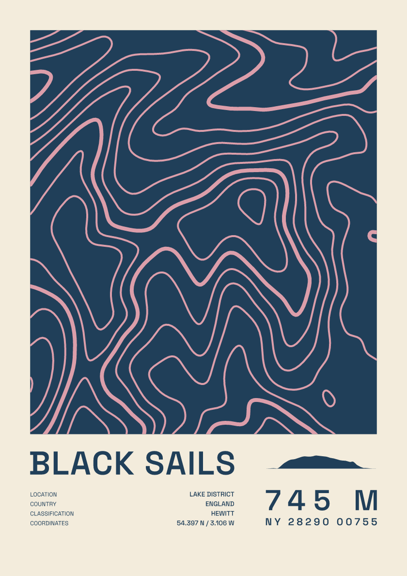
745 m · Lake District · England · Fact sheet
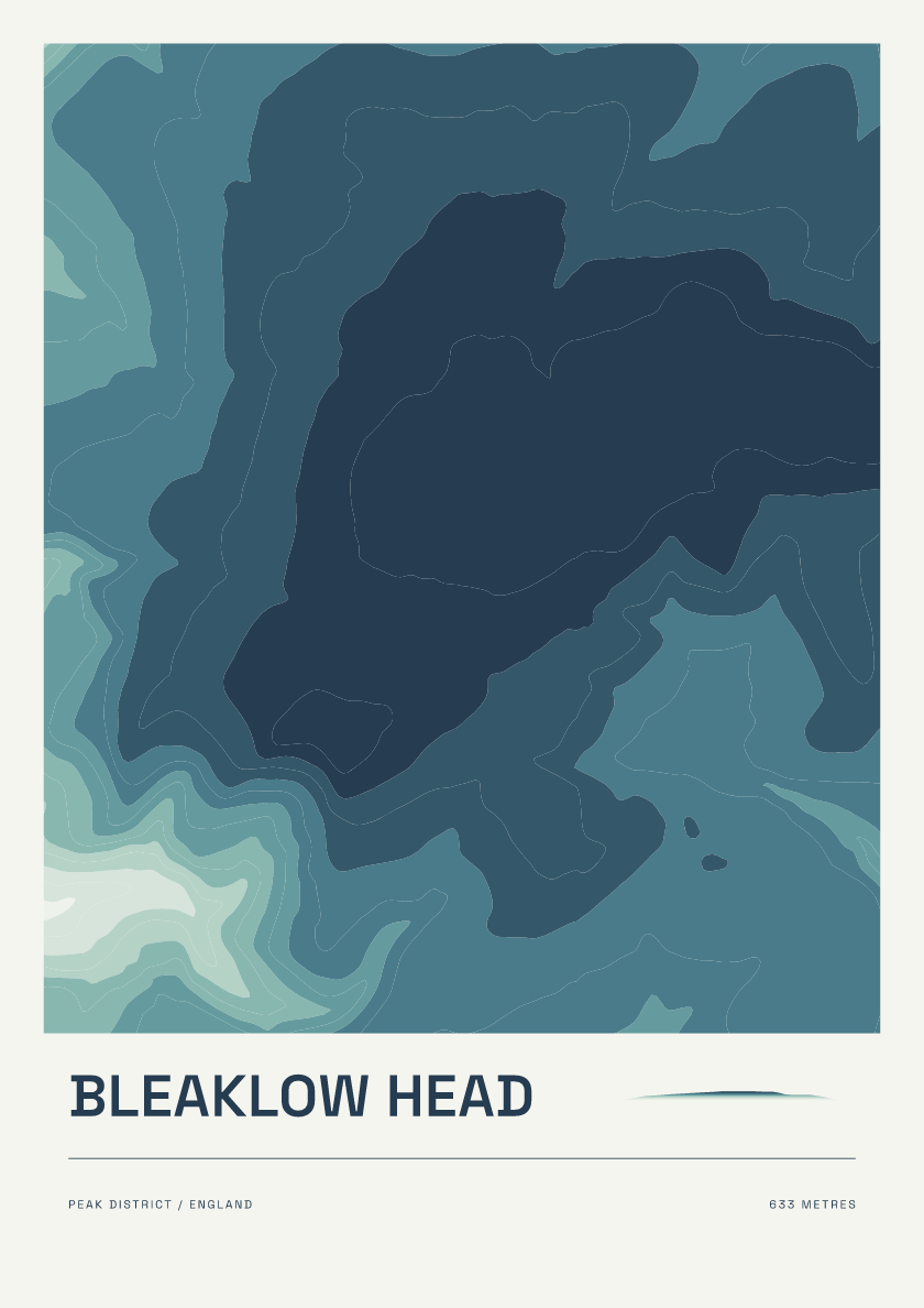
633 m · Peak District · England · Coastal
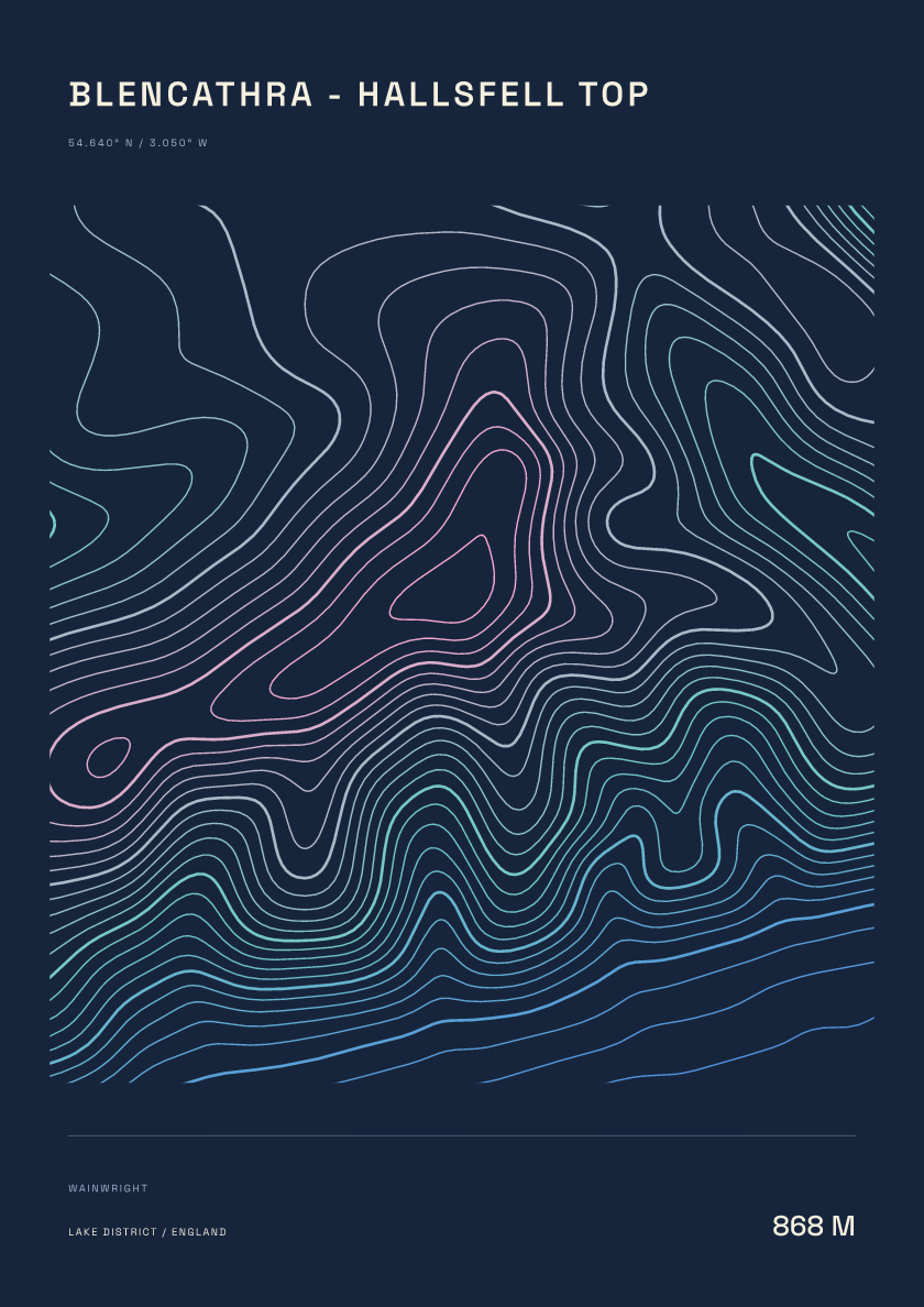
868 m · Lake District · England · Nightfall
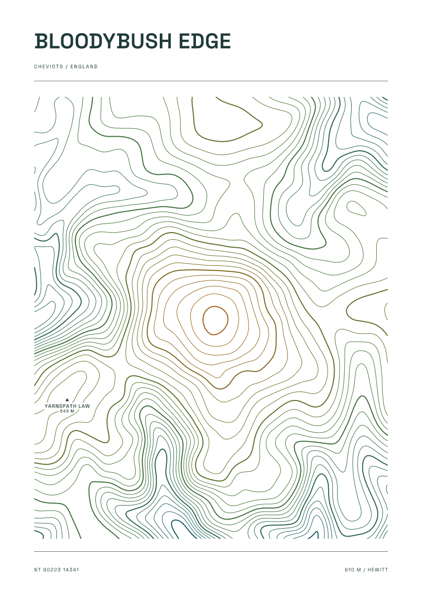
610 m · Cheviots · England · Carto
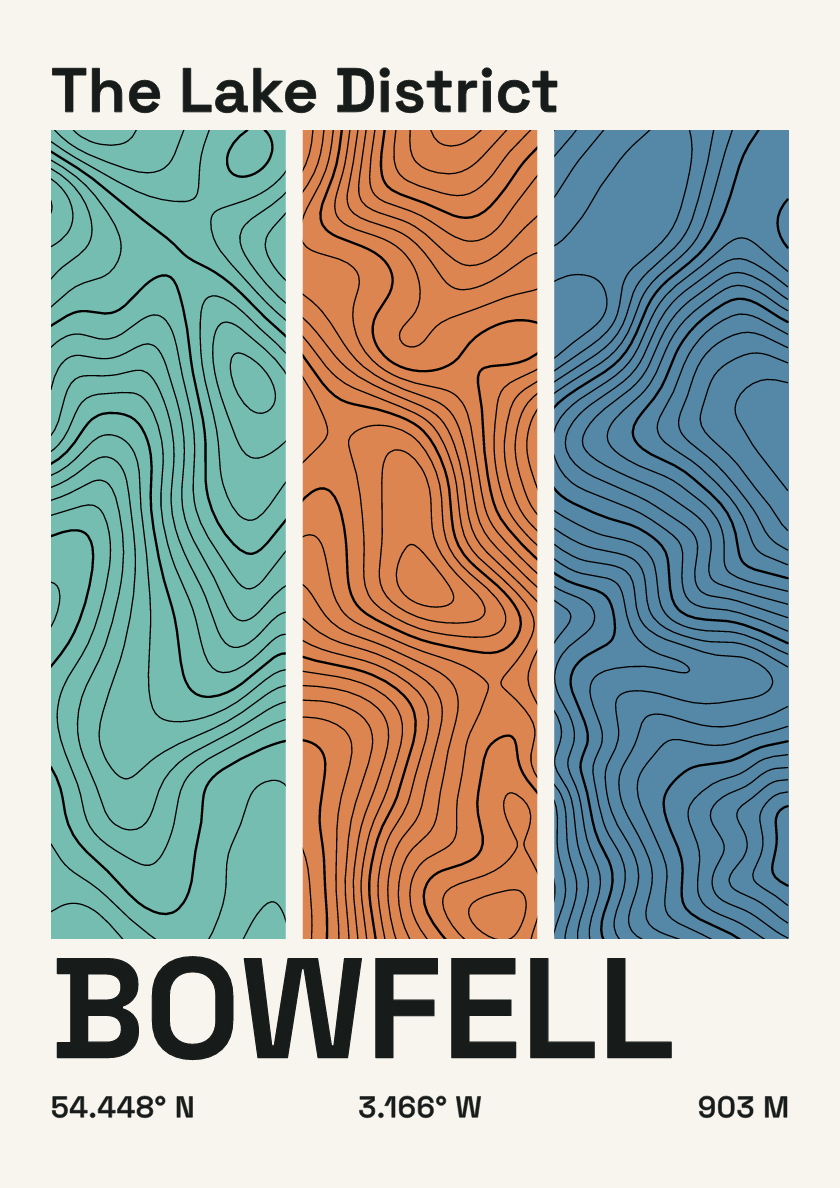
903 m · Lake District · England · Stripes
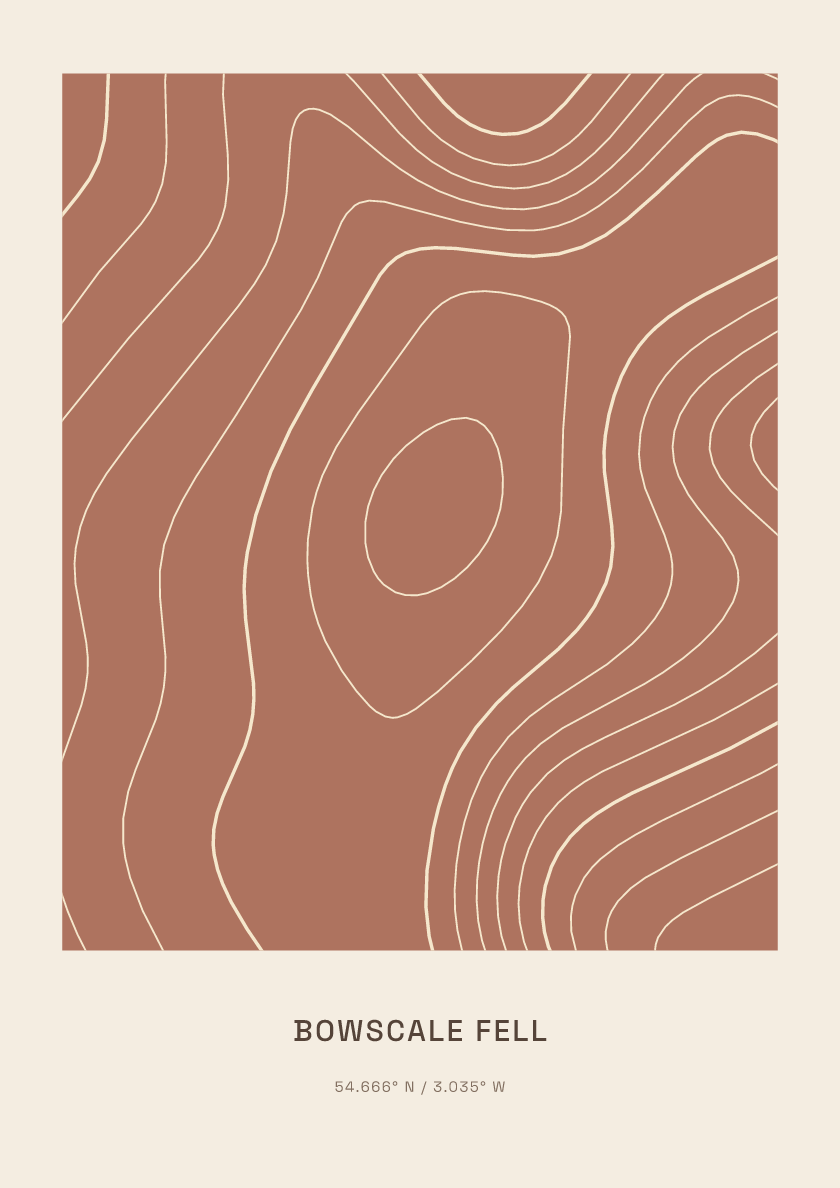
702 m · Lake District · England · Clay
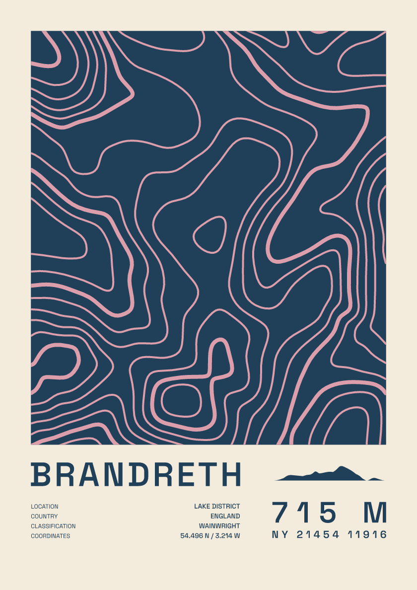
715 m · Lake District · England · Fact sheet
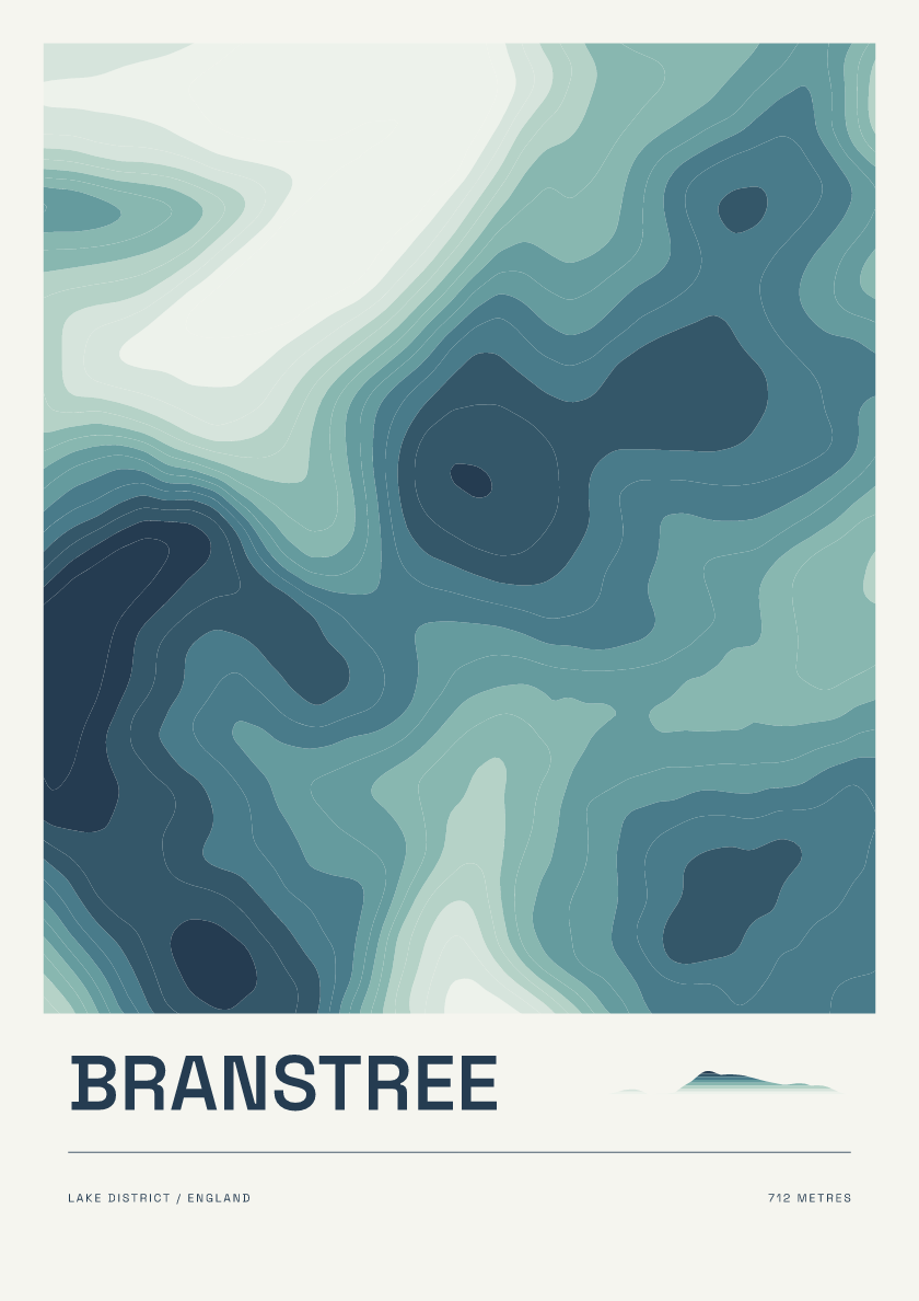
712 m · Lake District · England · Coastal
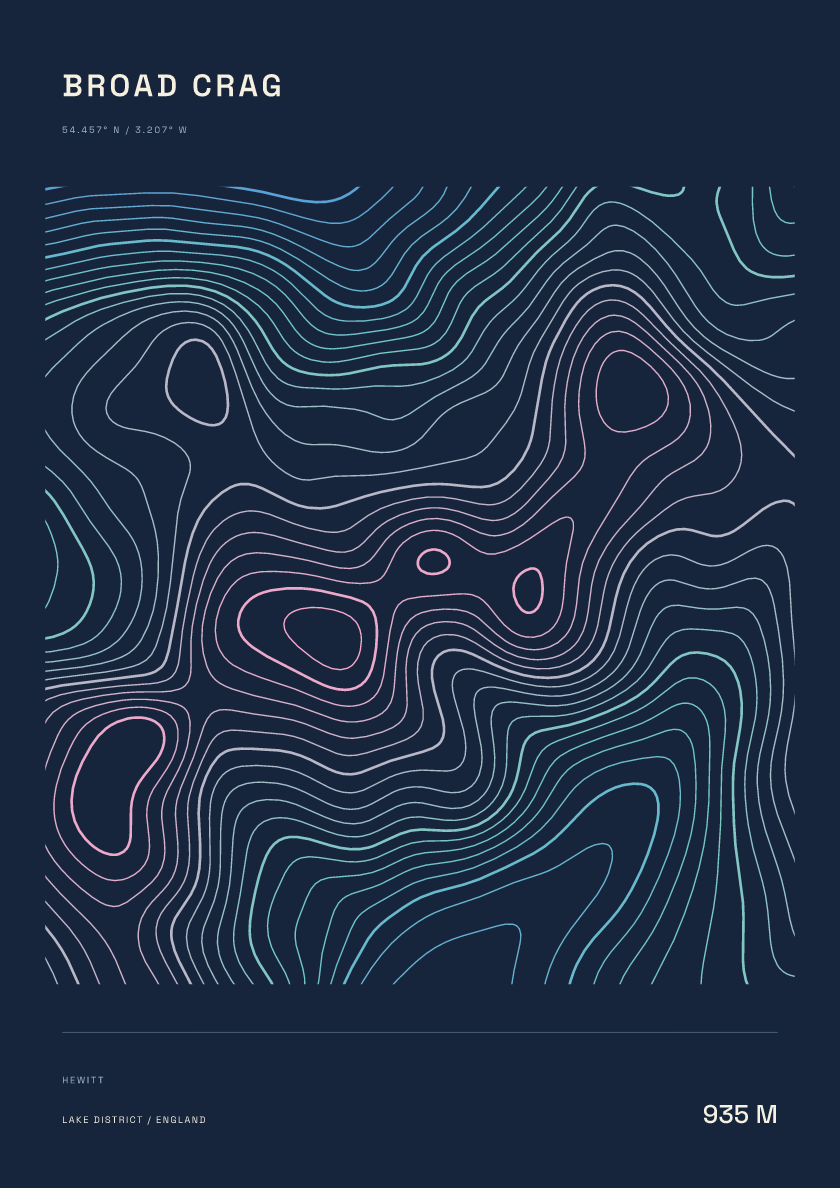
935 m · Lake District · England · Nightfall
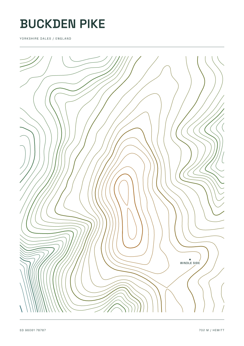
702 m · Yorkshire Dales · England · Carto
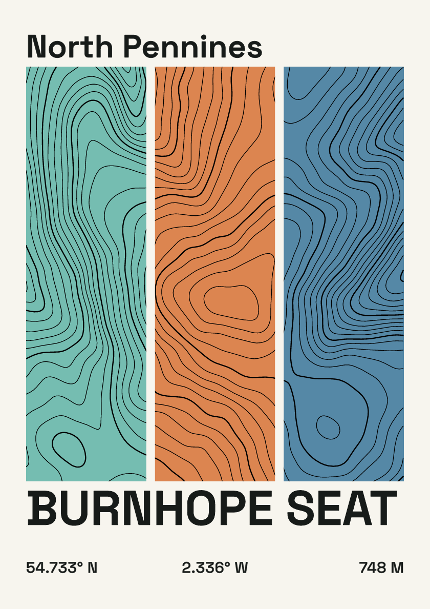
748 m · North Pennines · England · Stripes
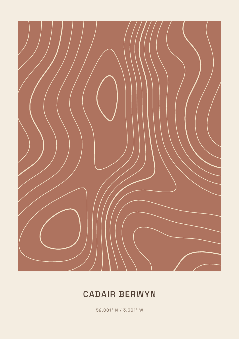
832 m · Berwyns · Wales · Clay
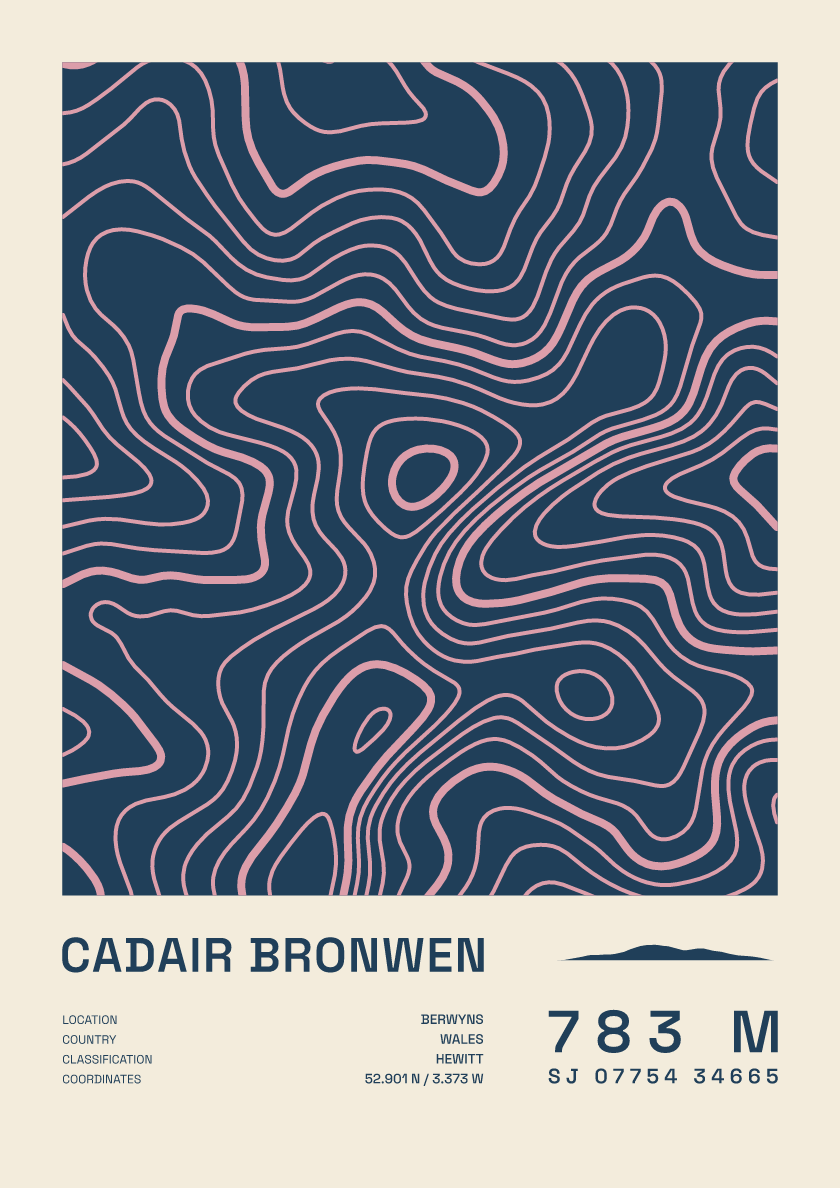
783 m · Berwyns · Wales · Fact sheet
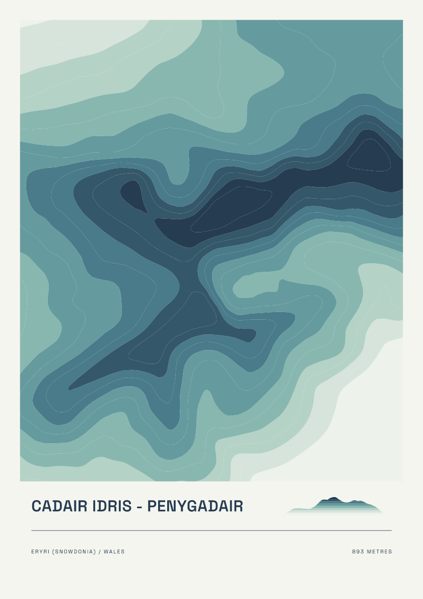
893 m · Eryri (Snowdonia) · Wales · Coastal
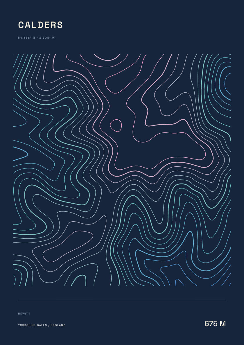
675 m · Yorkshire Dales · England · Nightfall
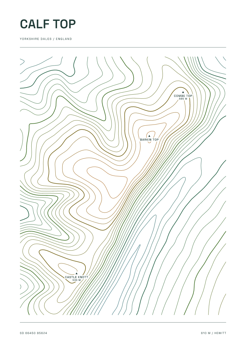
610 m · Yorkshire Dales · England · Carto
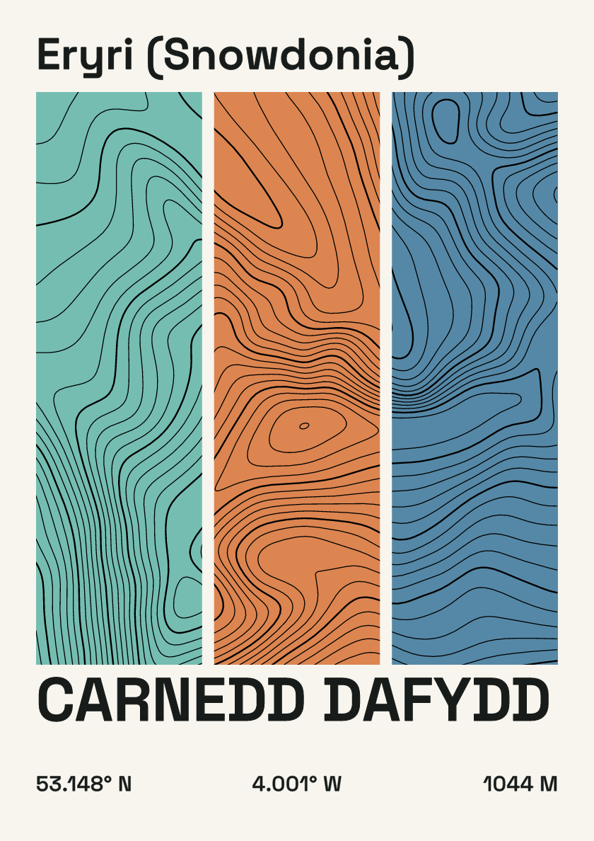
1,044 m · Eryri (Snowdonia) · Wales · Stripes
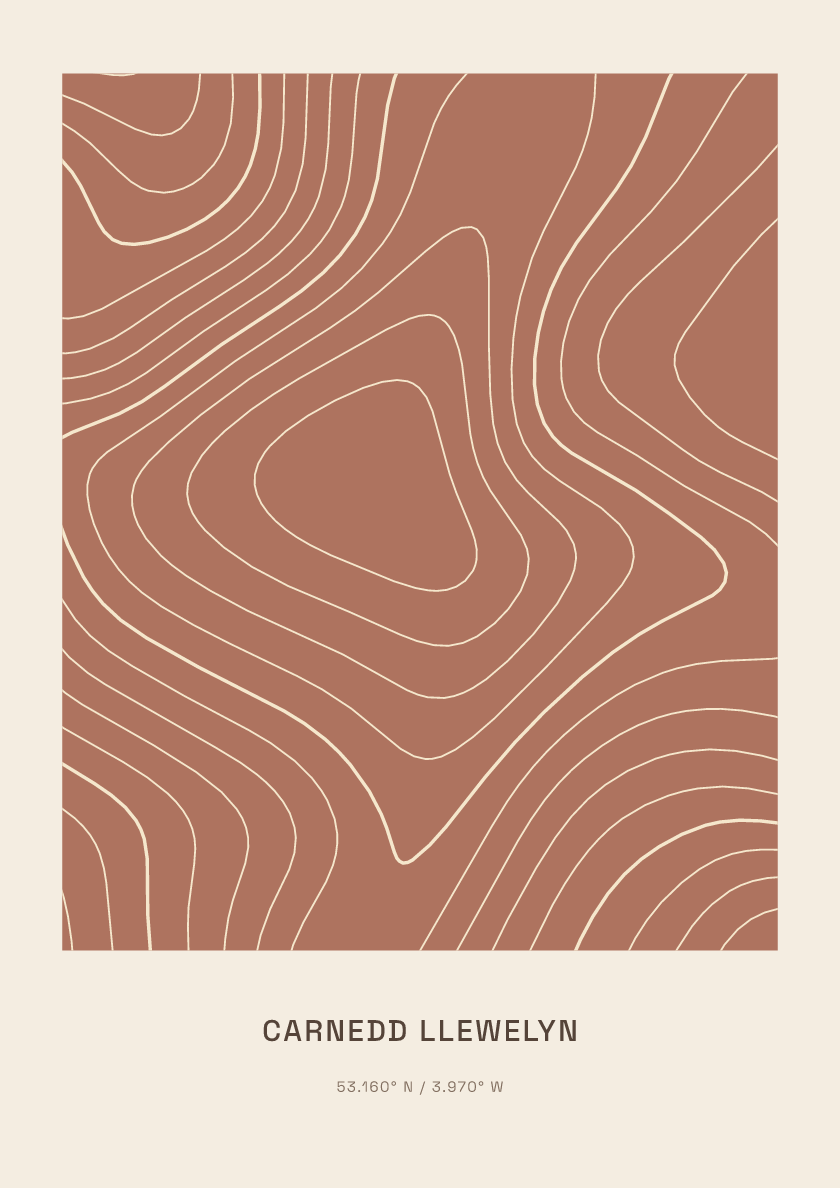
1,064 m · Eryri (Snowdonia) · Wales · Clay
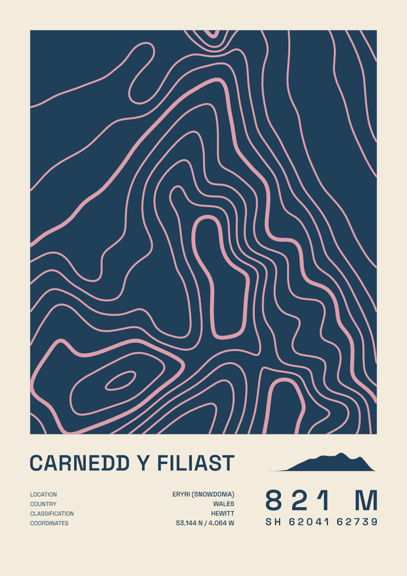
821 m · Eryri (Snowdonia) · Wales · Fact sheet
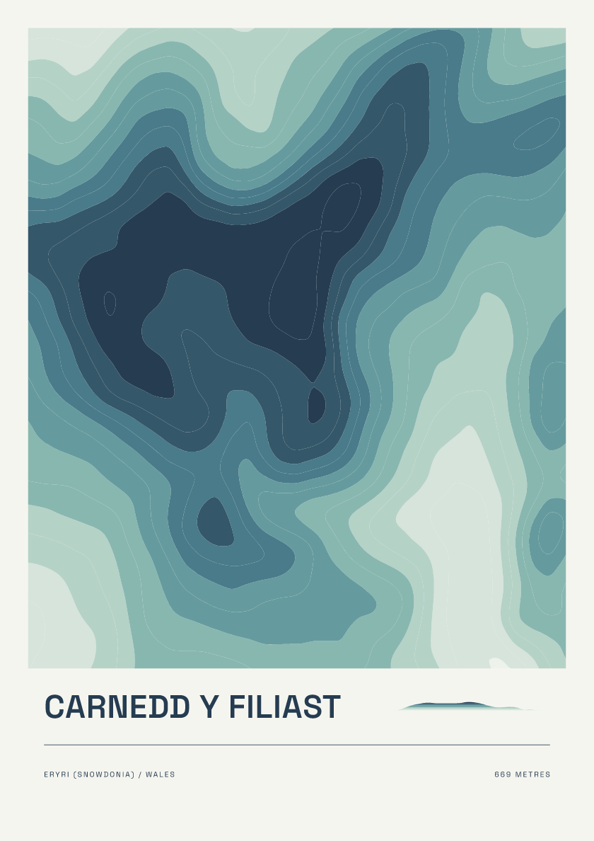
669 m · Eryri (Snowdonia) · Wales · Coastal
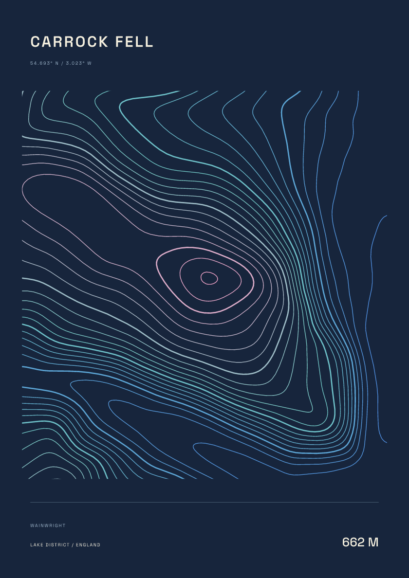
662 m · Lake District · England · Nightfall
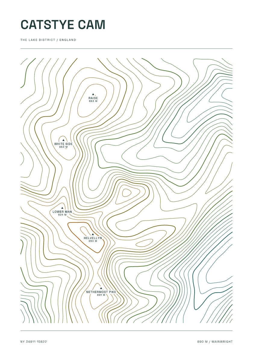
890 m · Lake District · England · Carto
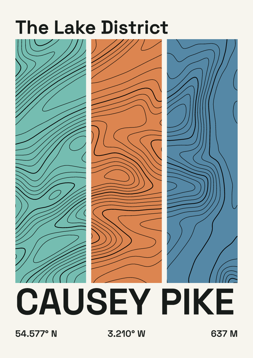
637 m · Lake District · England · Stripes
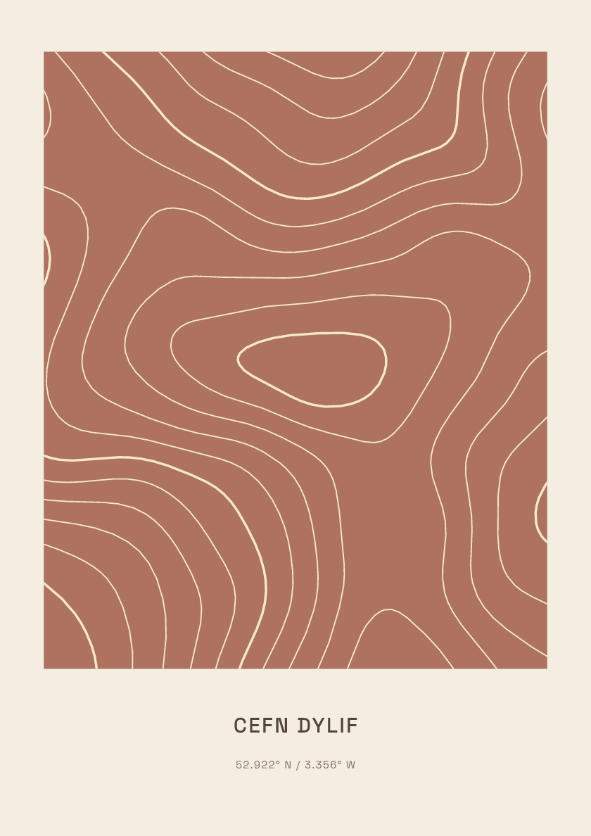
618 m · Berwyns · Wales · Clay
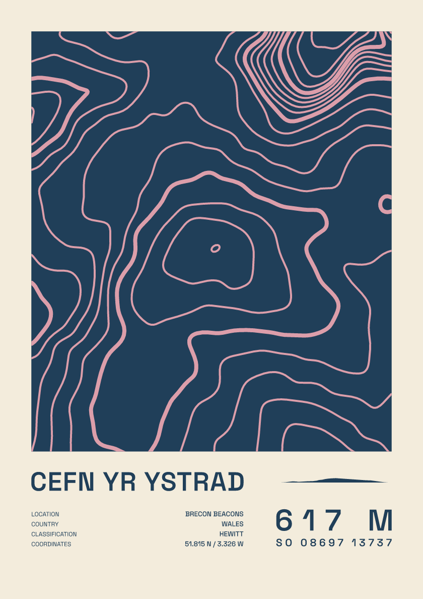
617 m · Brecon Beacons · Wales · Fact sheet
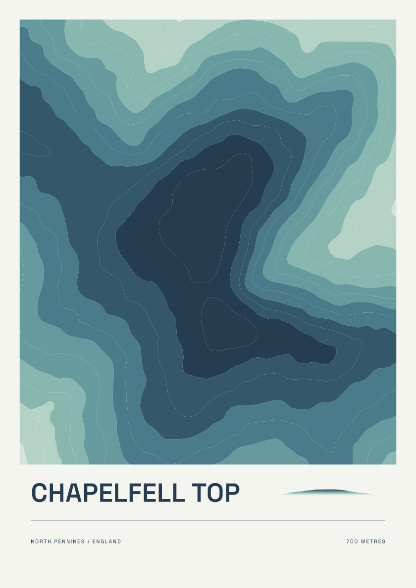
700 m · North Pennines · England · Coastal
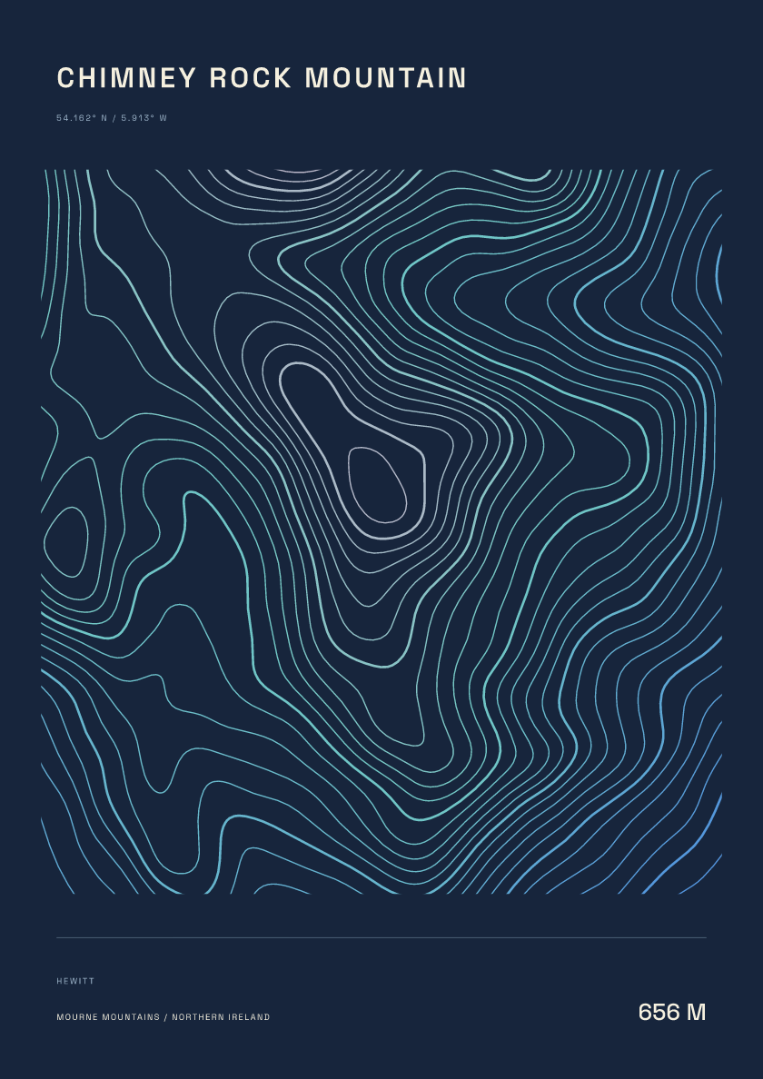
656 m · Mourne Mountains · Northern Ireland · Nightfall
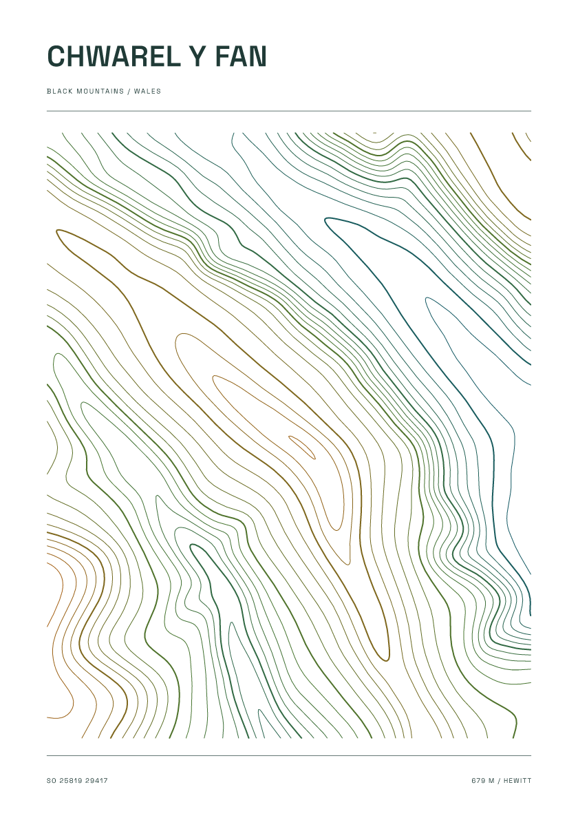
679 m · Black Mountains · Wales · Carto
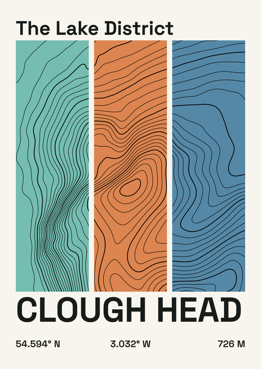
726 m · Lake District · England · Stripes
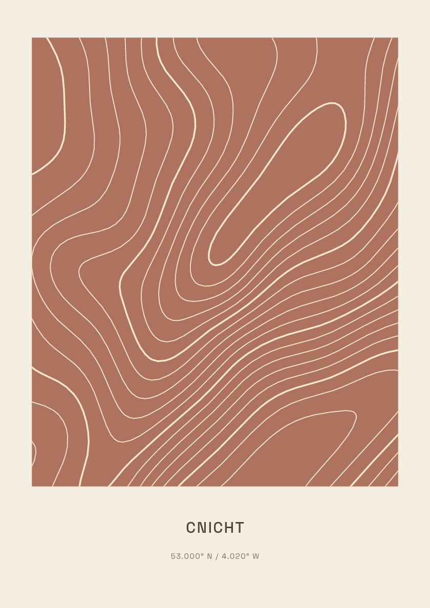
691 m · Eryri (Snowdonia) · Wales · Clay
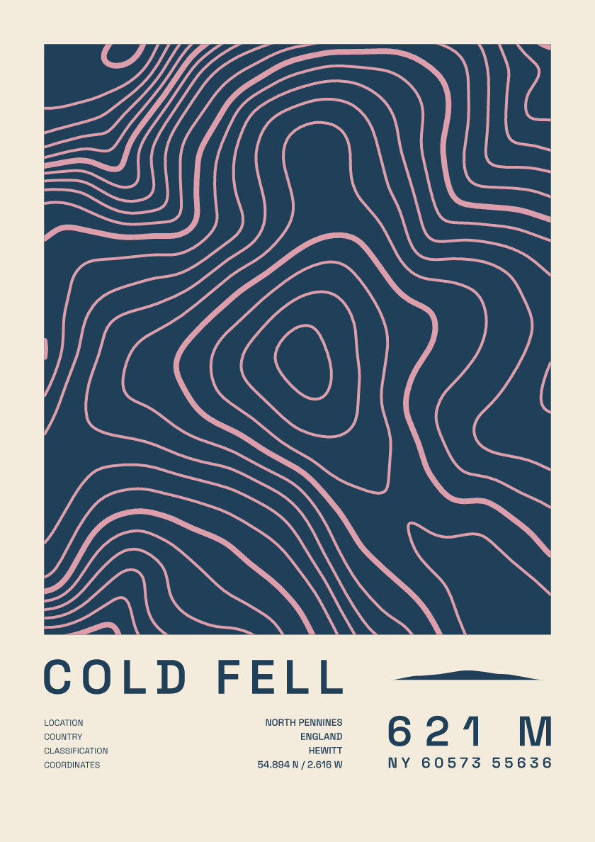
621 m · North Pennines · England · Fact sheet