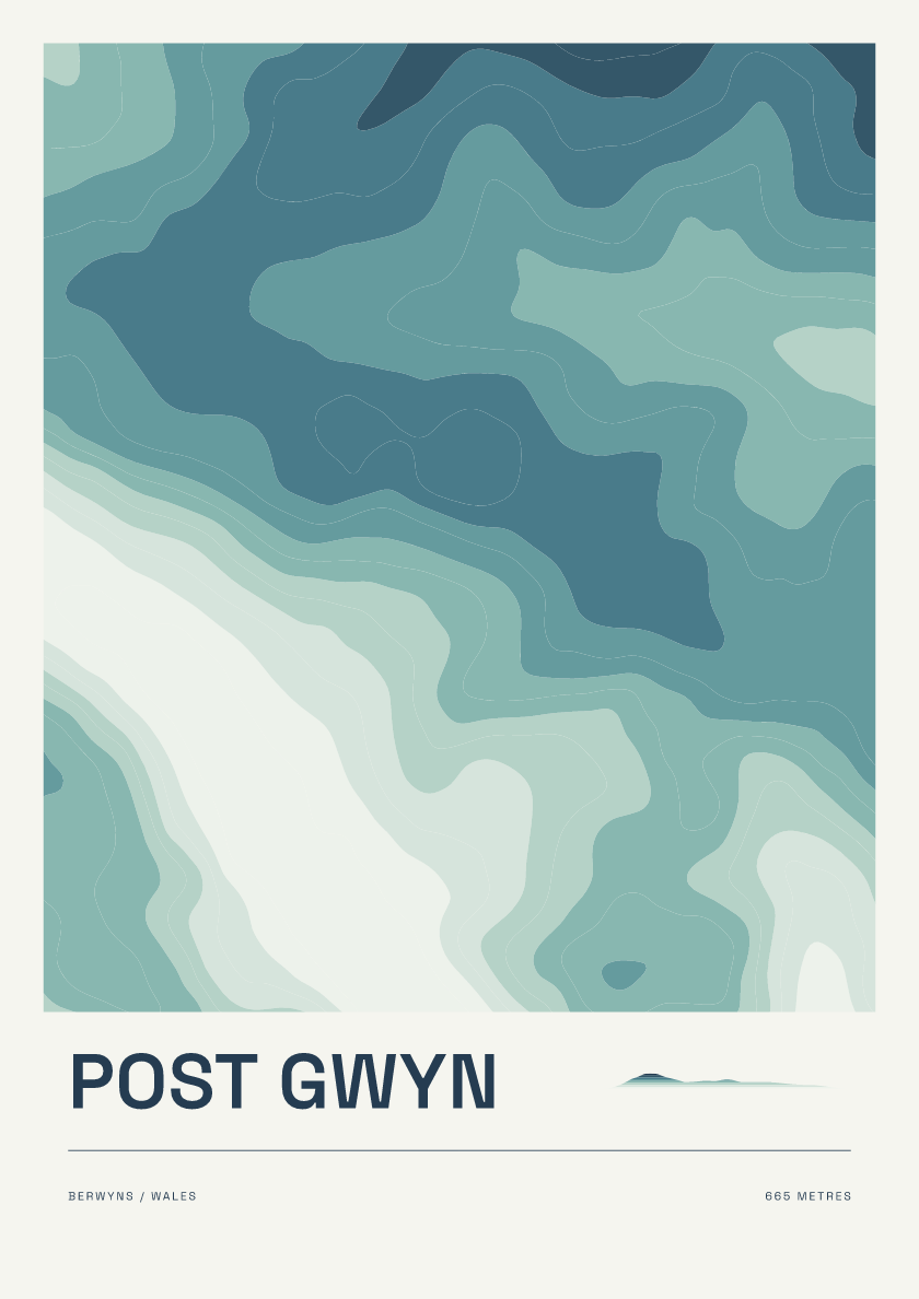
Post Gwyn
From £18665 m · Berwyns · Wales · Coastal
Browse contour posters of the Hewitts: hills in England, Wales and Ireland over 2,000 feet with at least 30 metres of drop. Explore summits across the Lake District, Snowdonia and beyond.
Every hill is available in 6 designs. Browse the mix below or choose a design to see it across the collection.
665 m · Berwyns · Wales · Coastal
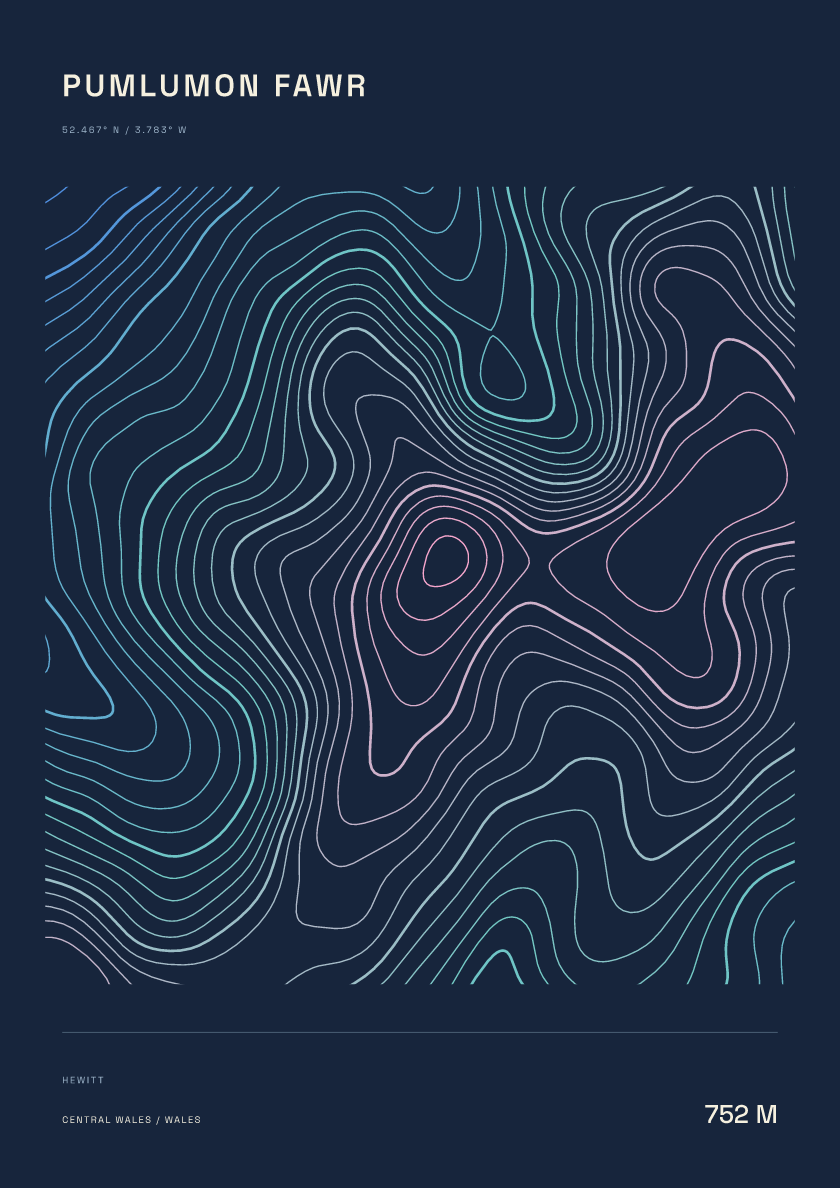
752 m · Central Wales · Wales · Nightfall
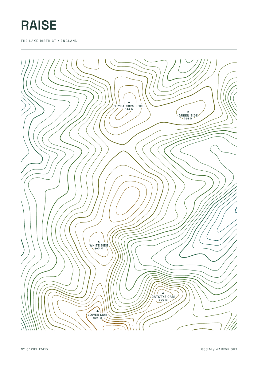
883 m · Lake District · England · Carto
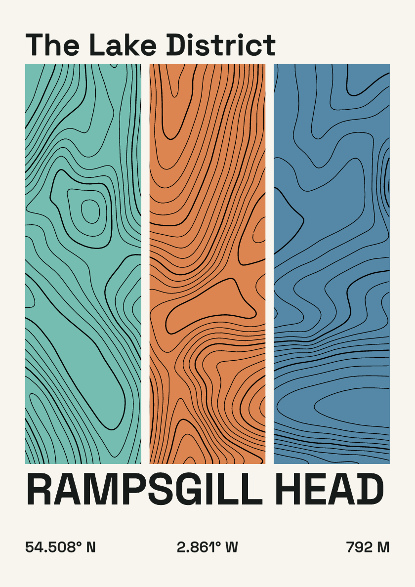
792 m · Lake District · England · Stripes
624 m · Yorkshire Dales · England · Clay
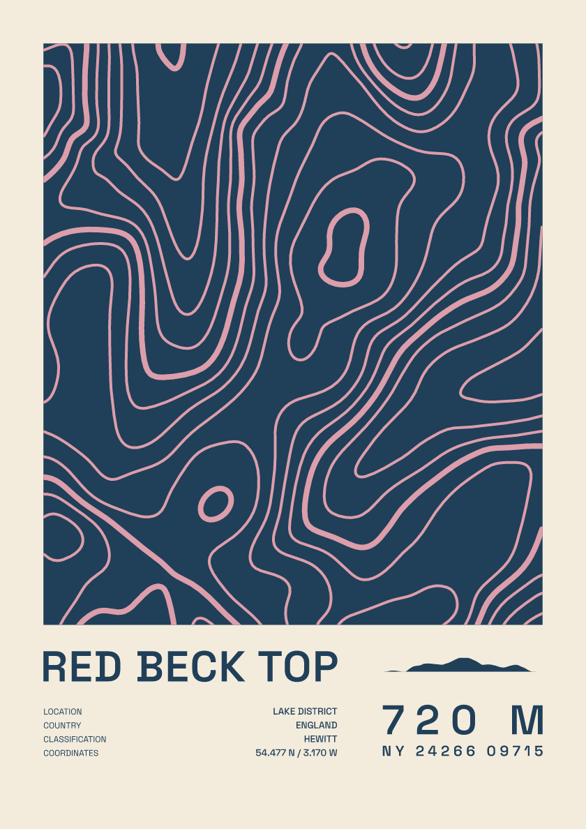
720 m · Lake District · England · Fact sheet
755 m · Lake District · England · Coastal
826 m · Lake District · England · Nightfall
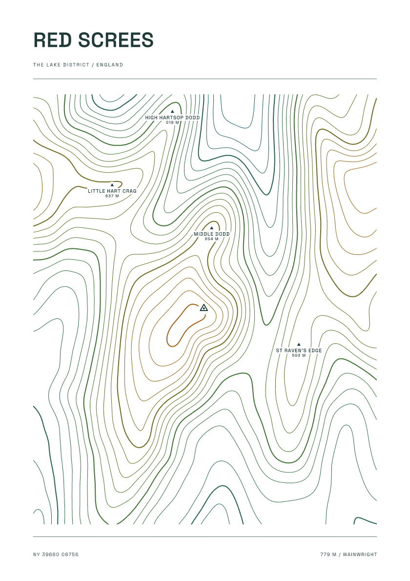
779 m · Lake District · England · Carto
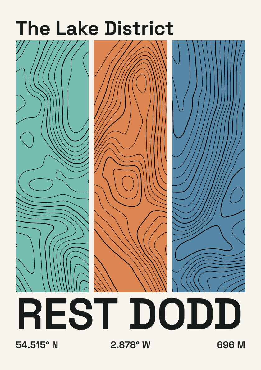
696 m · Lake District · England · Stripes
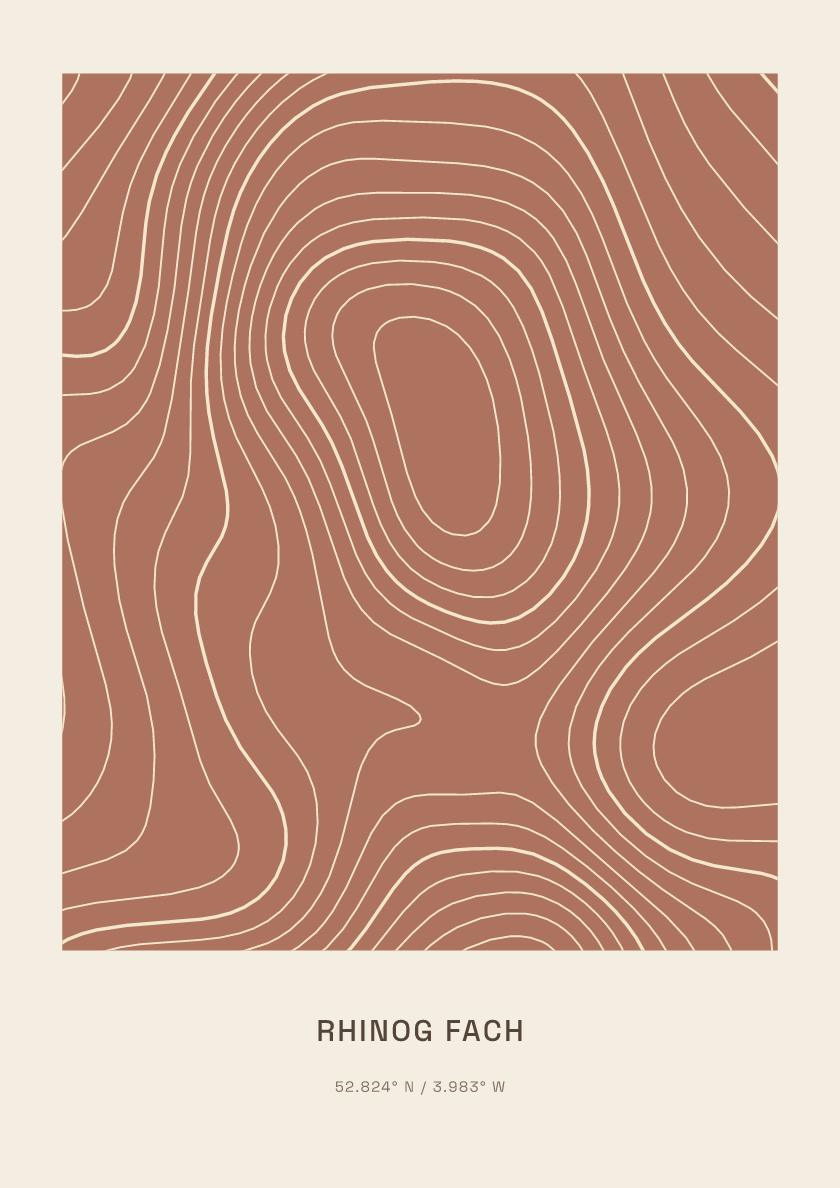
712 m · Eryri (Snowdonia) · Wales · Clay
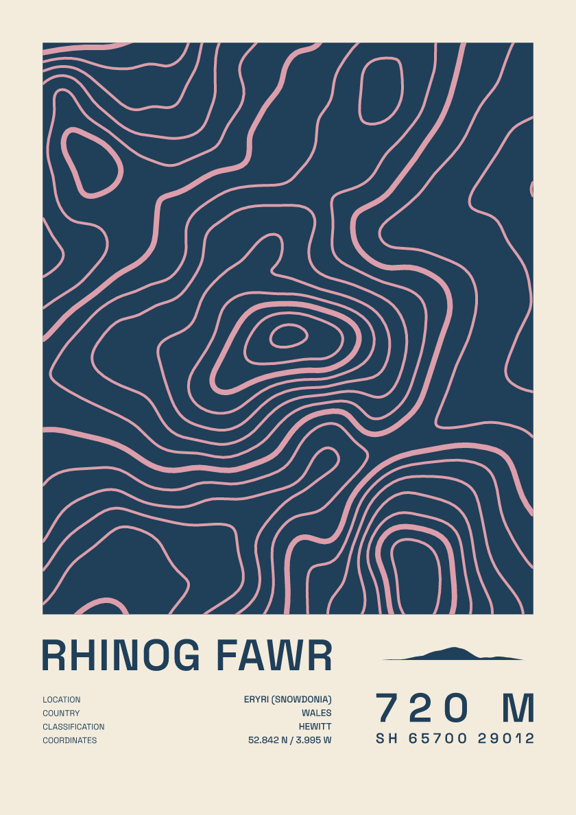
720 m · Eryri (Snowdonia) · Wales · Fact sheet
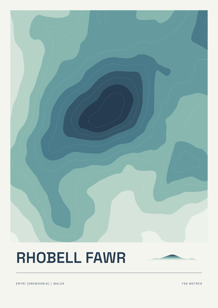
734 m · Eryri (Snowdonia) · Wales · Coastal
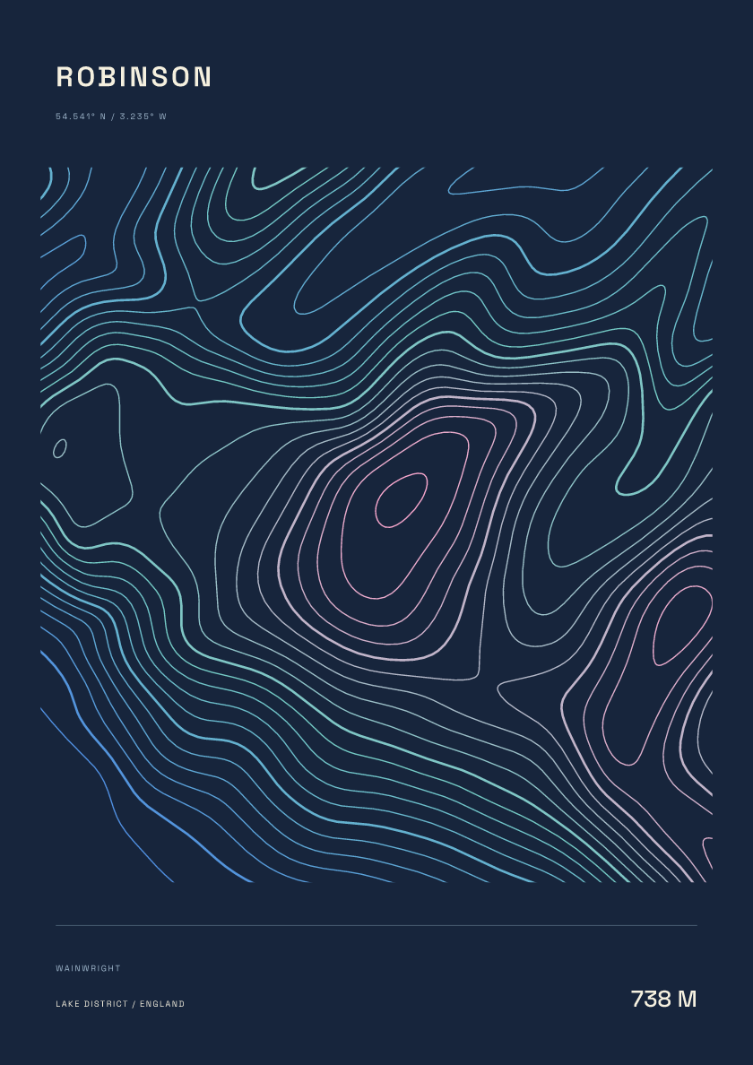
738 m · Lake District · England · Nightfall
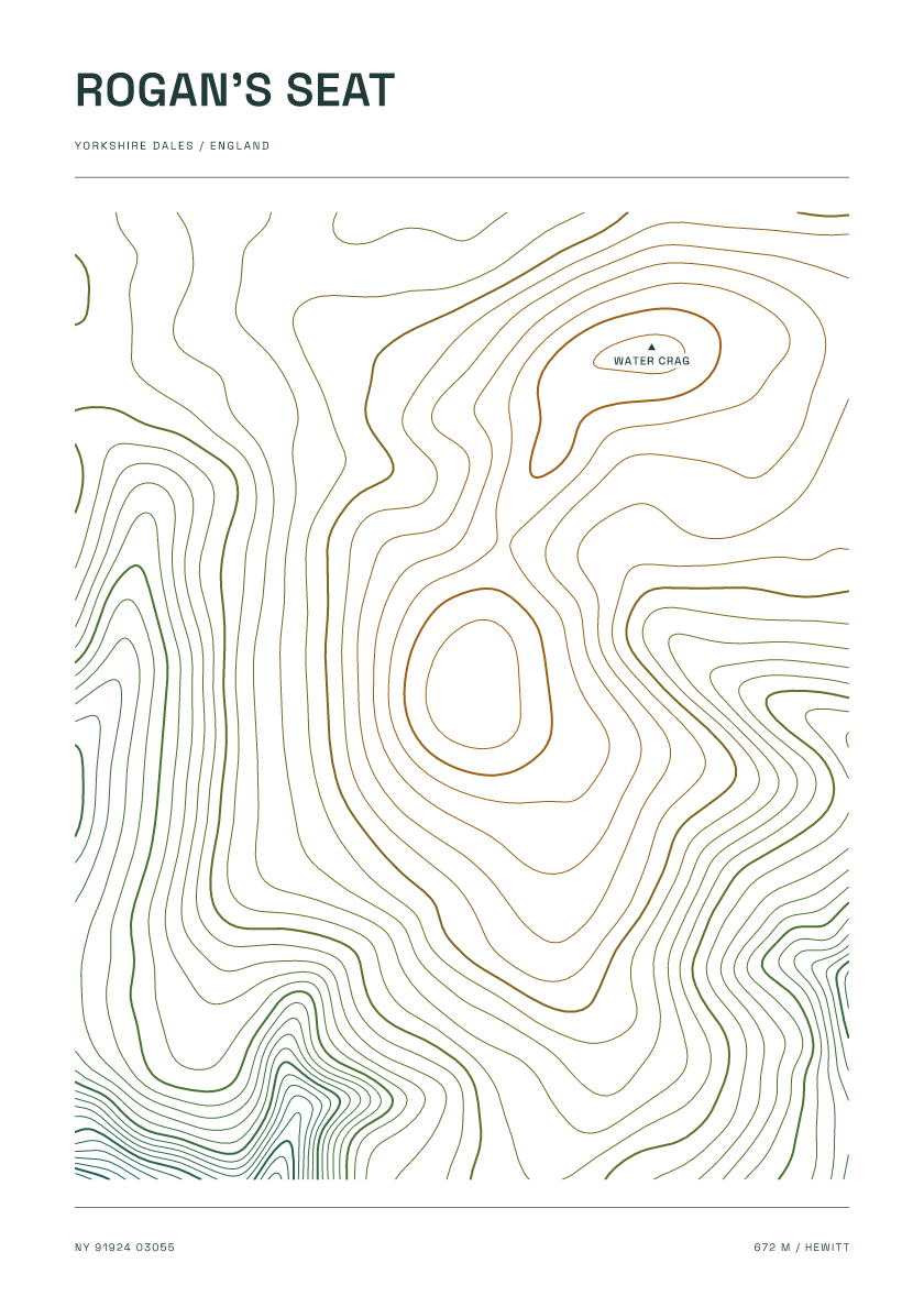
672 m · Yorkshire Dales · England · Carto
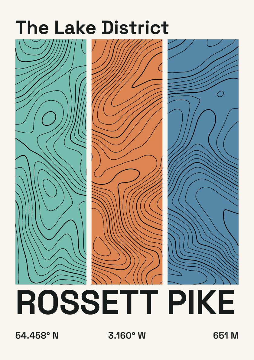
651 m · Lake District · England · Stripes
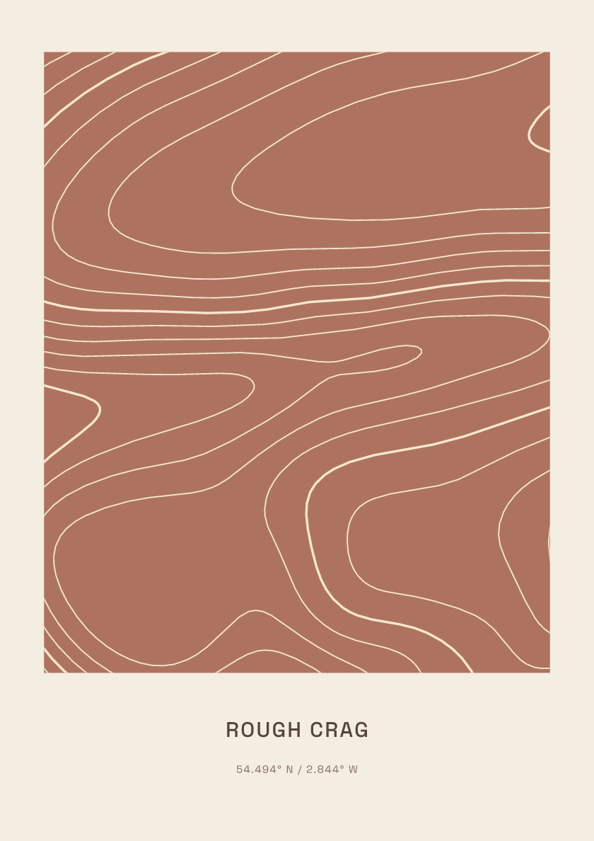
628 m · Lake District · England · Clay
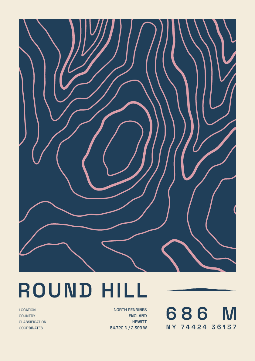
686 m · North Pennines · England · Fact sheet
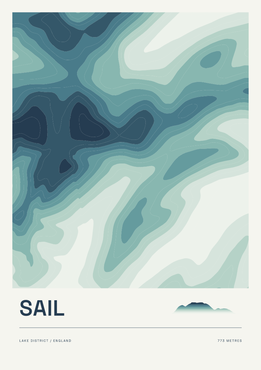
773 m · Lake District · England · Coastal
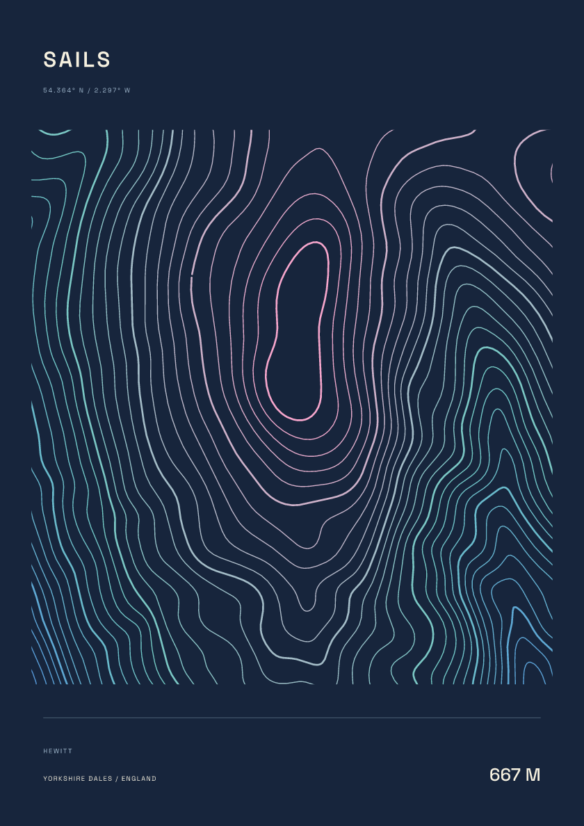
667 m · Yorkshire Dales · England · Nightfall
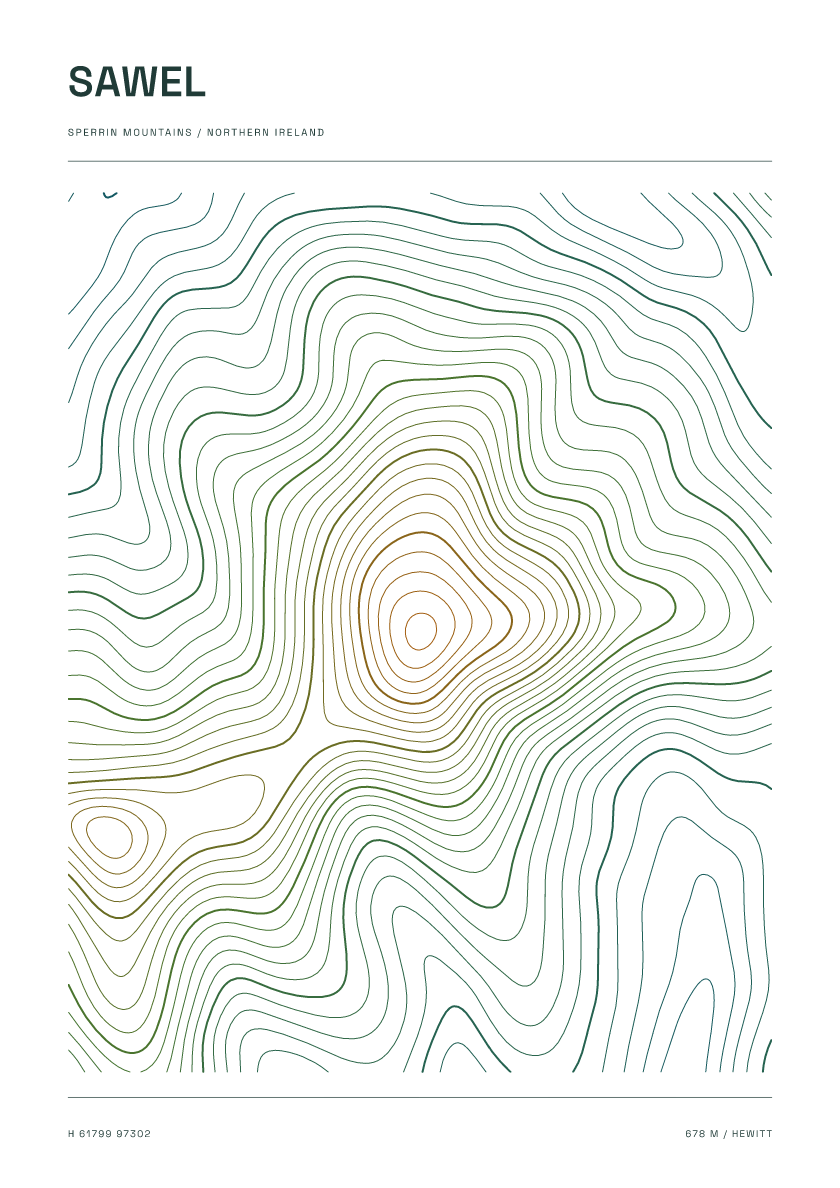
678 m · Sperrin Mountains · Northern Ireland · Carto
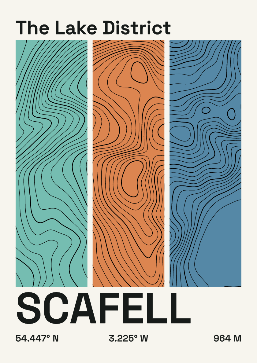
964 m · Lake District · England · Stripes
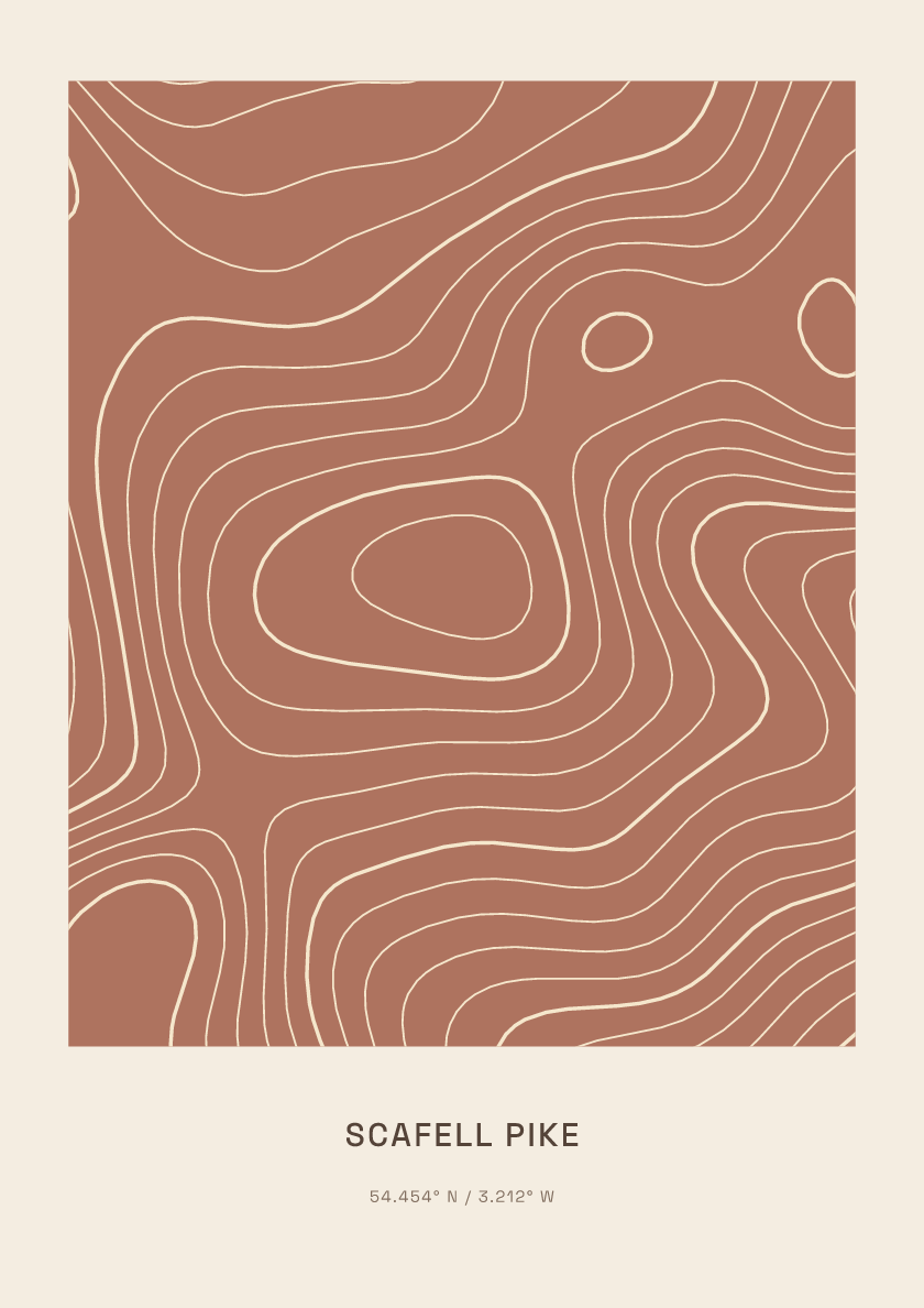
978 m · Lake District · England · Clay
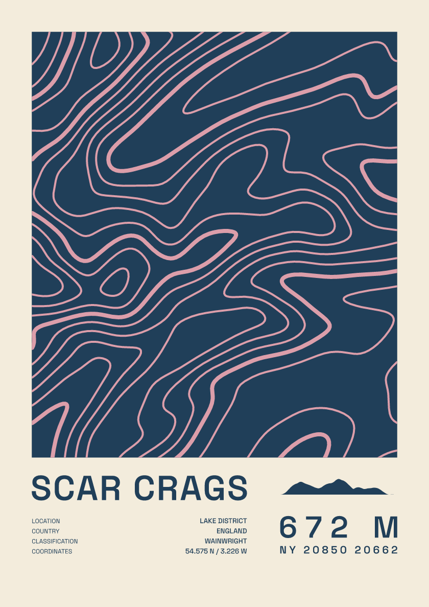
672 m · Lake District · England · Fact sheet
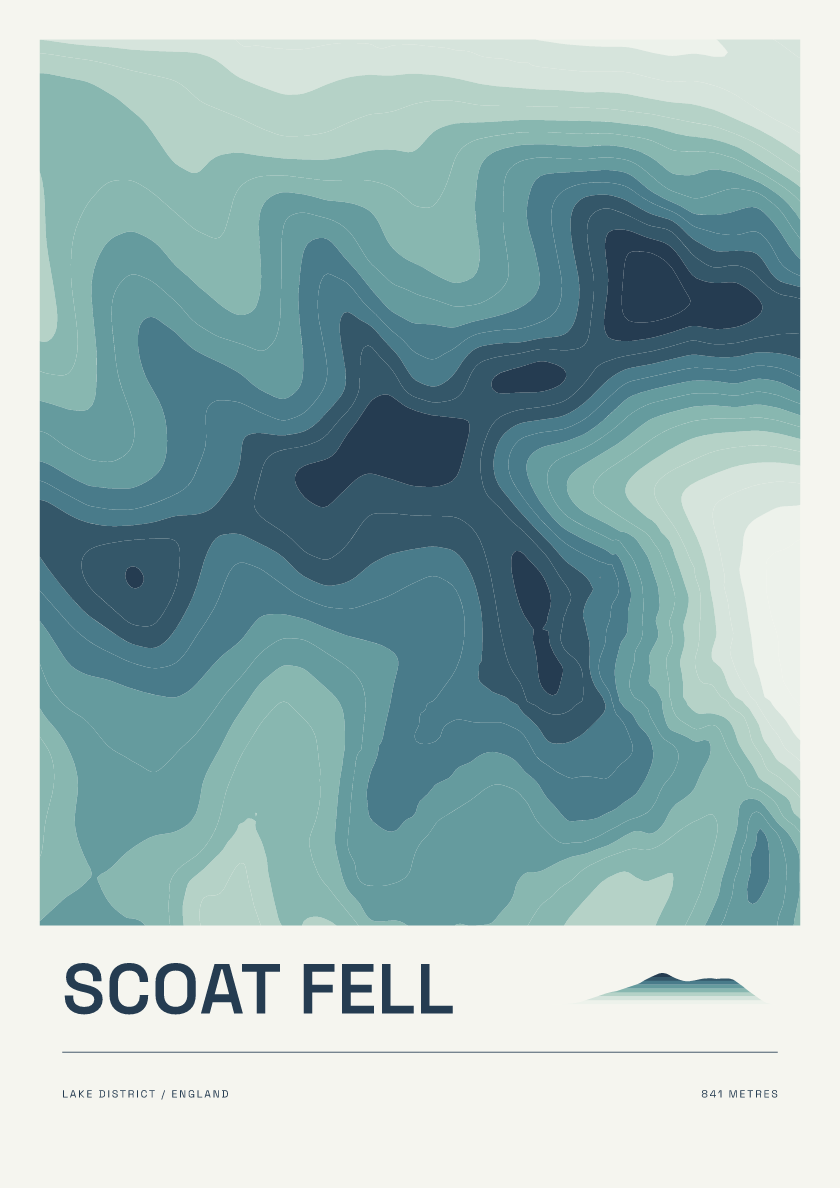
841 m · Lake District · England · Coastal
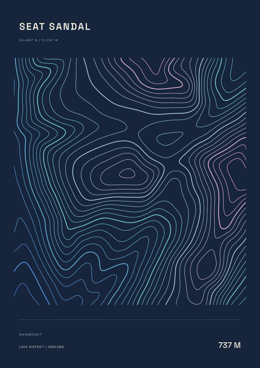
737 m · Lake District · England · Nightfall
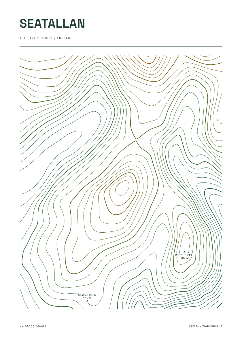
693 m · Lake District · England · Carto
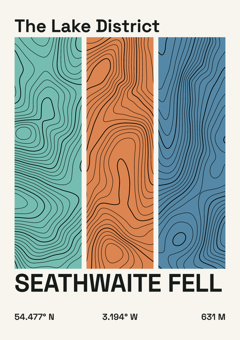
631 m · Lake District · England · Stripes
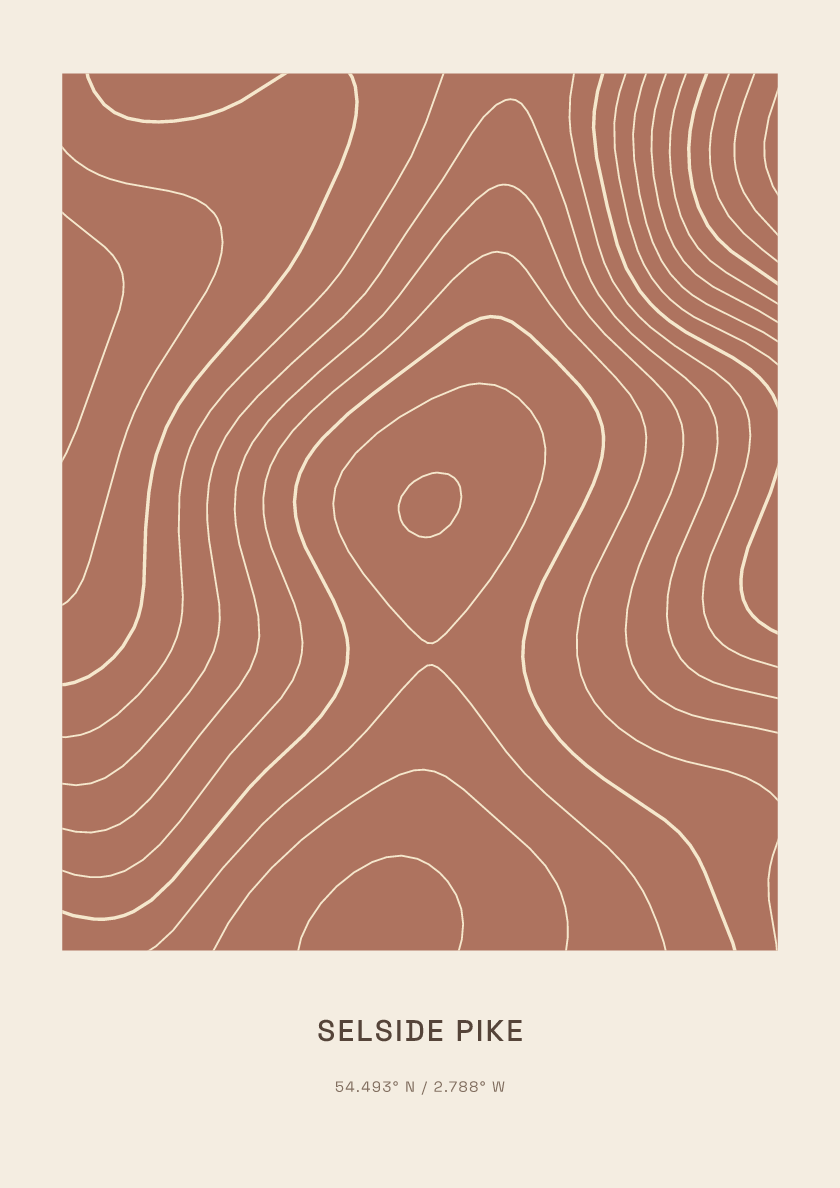
655 m · Lake District · England · Clay
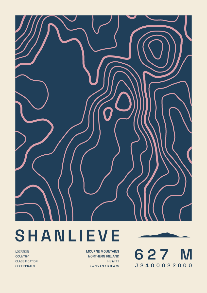
627 m · Mourne Mountains · Northern Ireland · Fact sheet
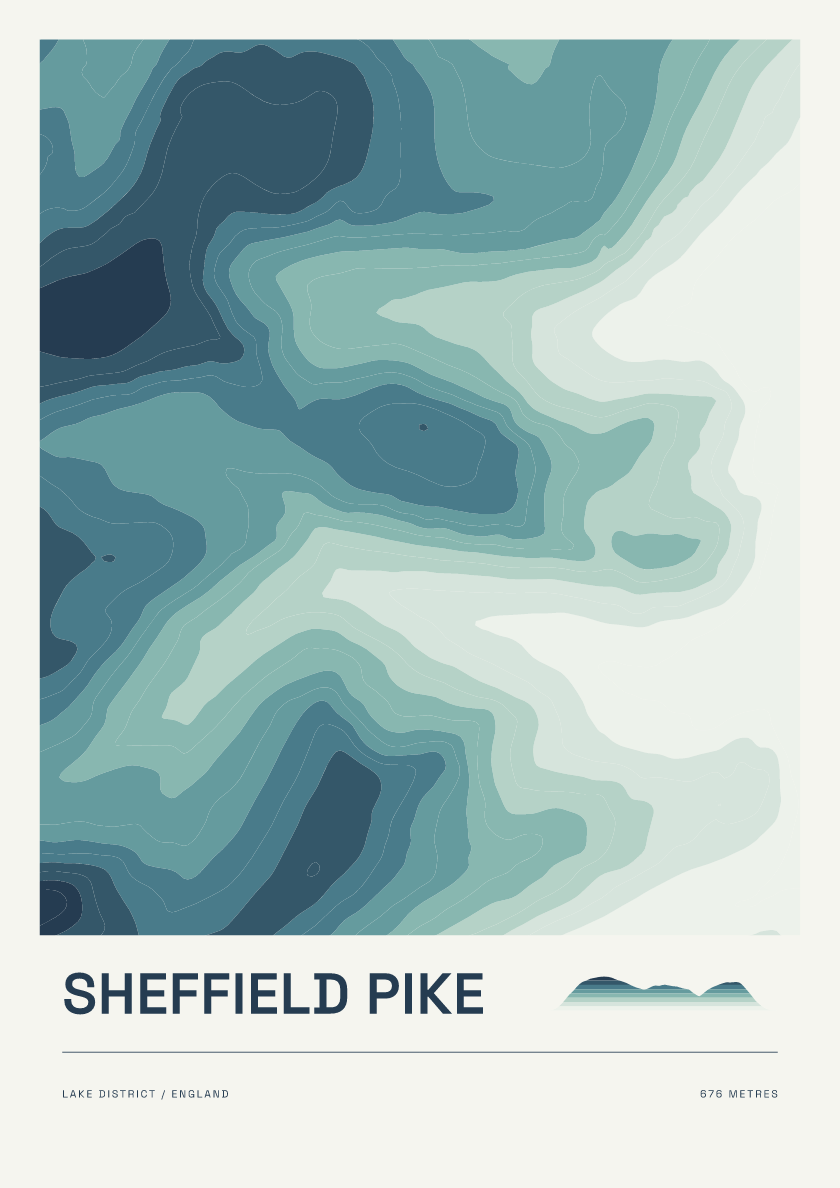
676 m · Lake District · England · Coastal
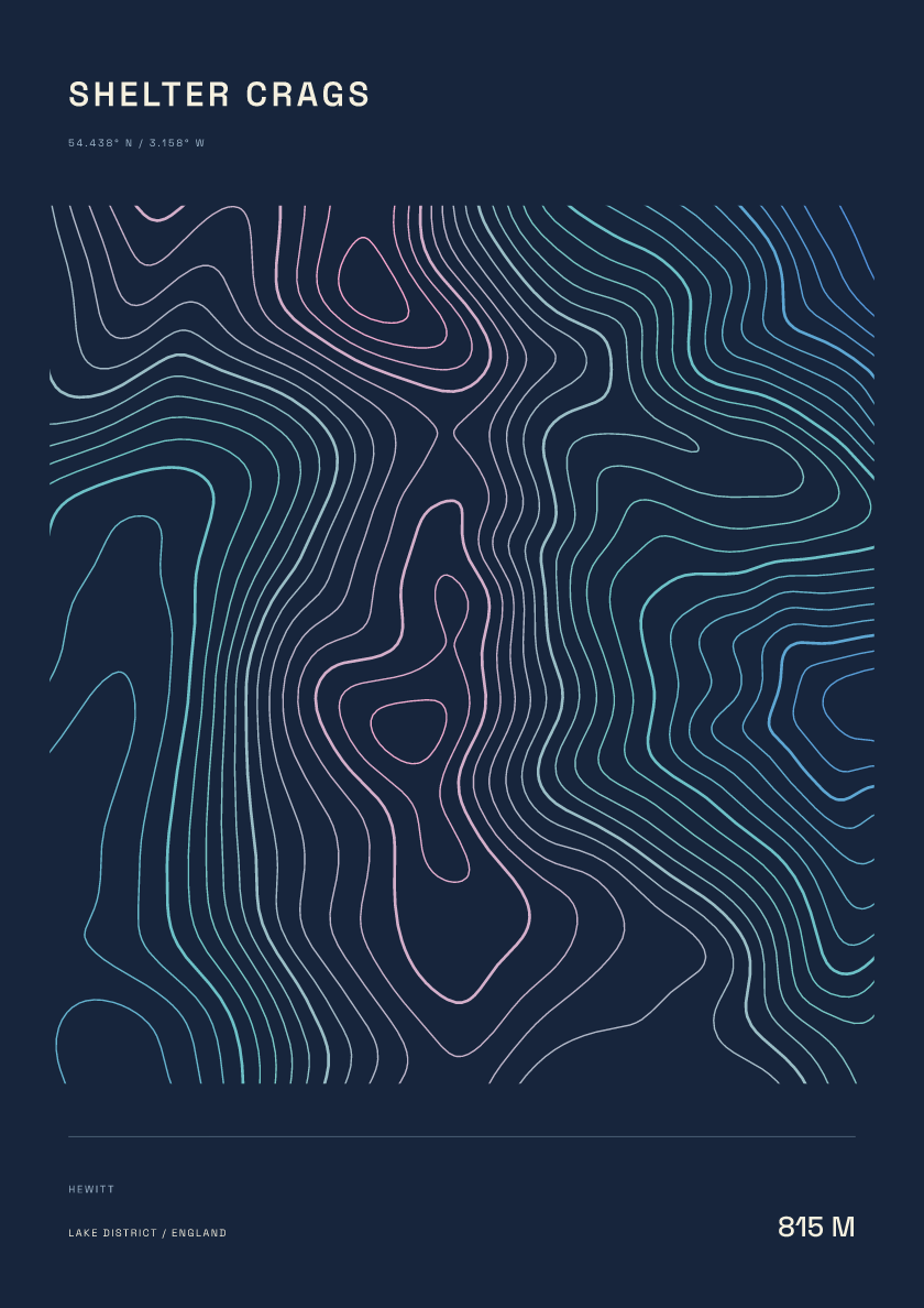
815 m · Lake District · England · Nightfall
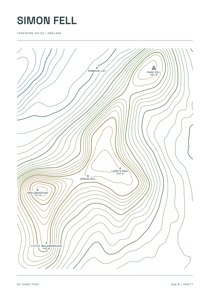
649 m · Yorkshire Dales · England · Carto
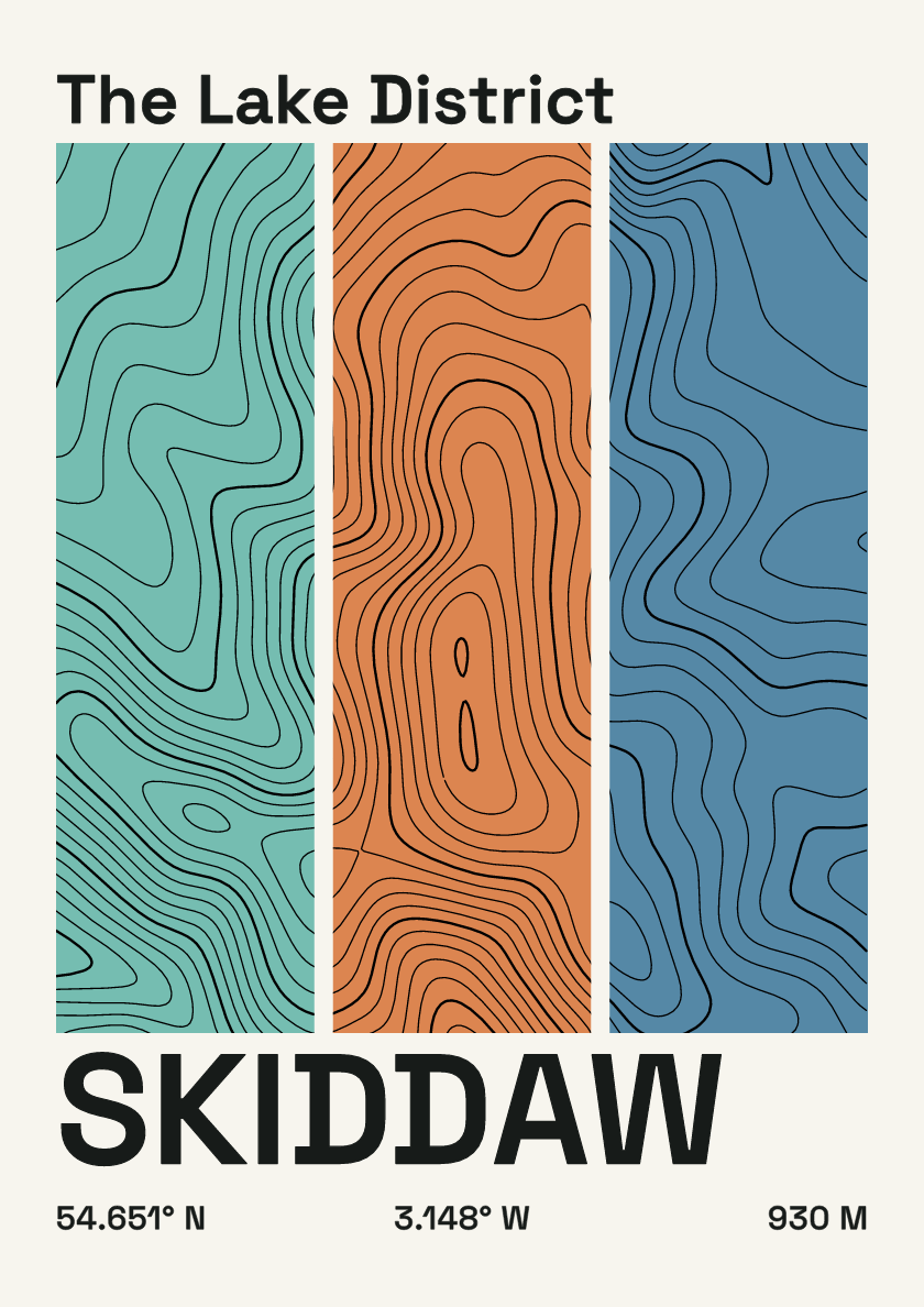
930 m · Lake District · England · Stripes
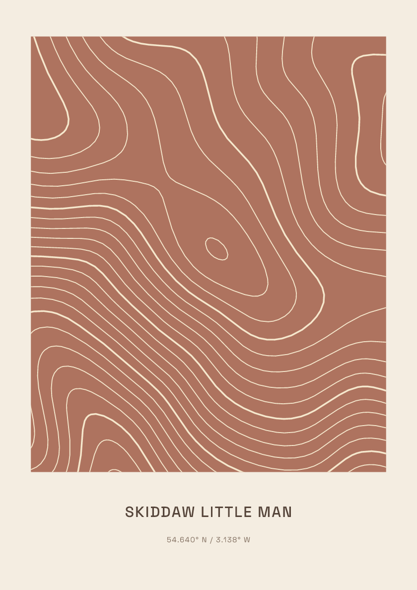
865 m · Lake District · England · Clay
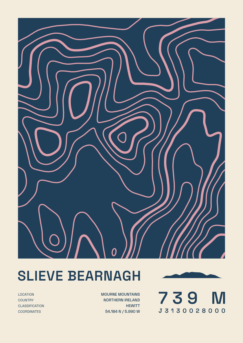
739 m · Mourne Mountains · Northern Ireland · Fact sheet
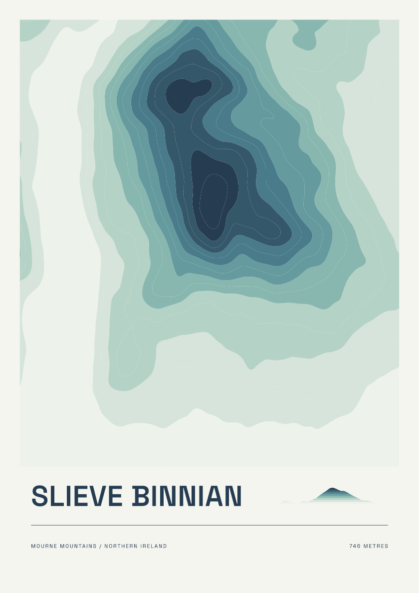
746 m · Mourne Mountains · Northern Ireland · Coastal
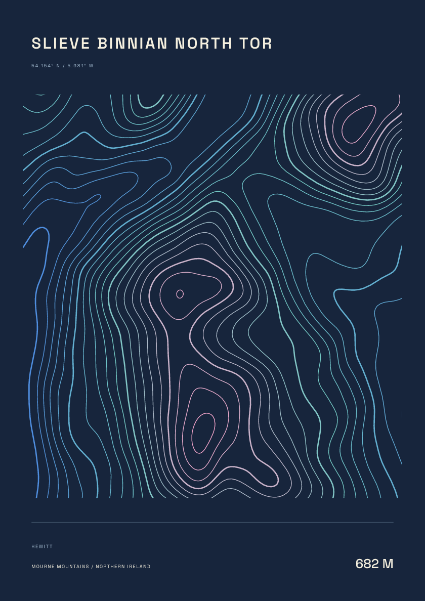
682 m · Mourne Mountains · Northern Ireland · Nightfall
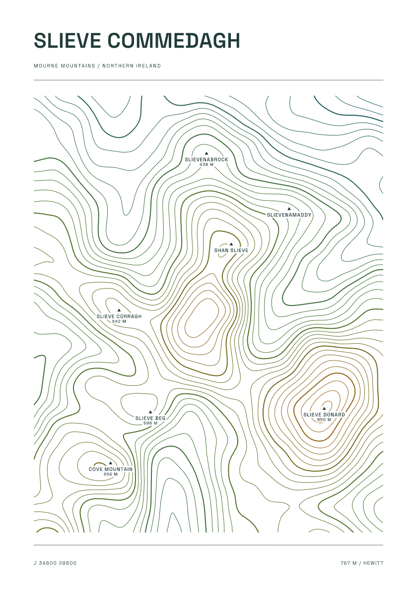
767 m · Mourne Mountains · Northern Ireland · Carto
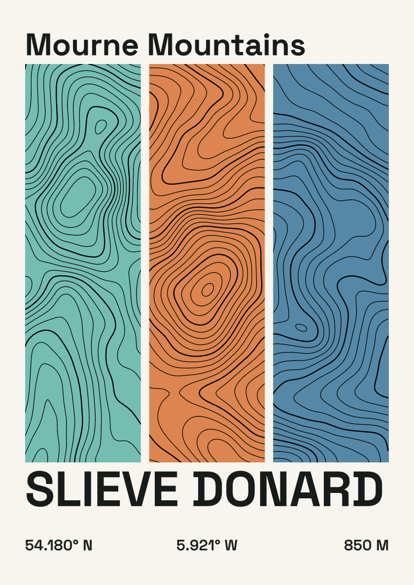
850 m · Mourne Mountains · Northern Ireland · Stripes
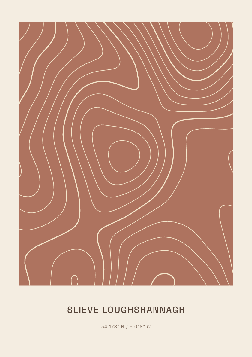
617 m · Mourne Mountains · Northern Ireland · Clay
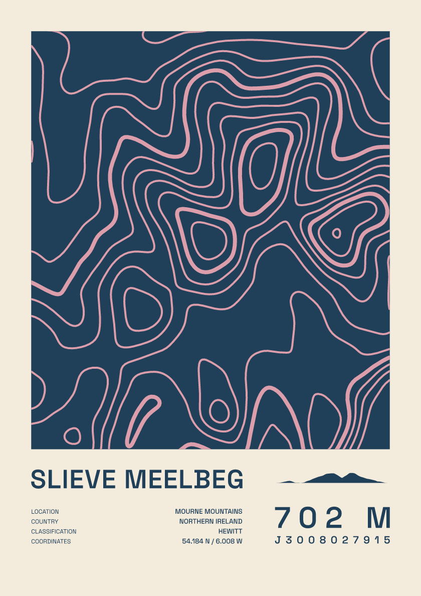
702 m · Mourne Mountains · Northern Ireland · Fact sheet
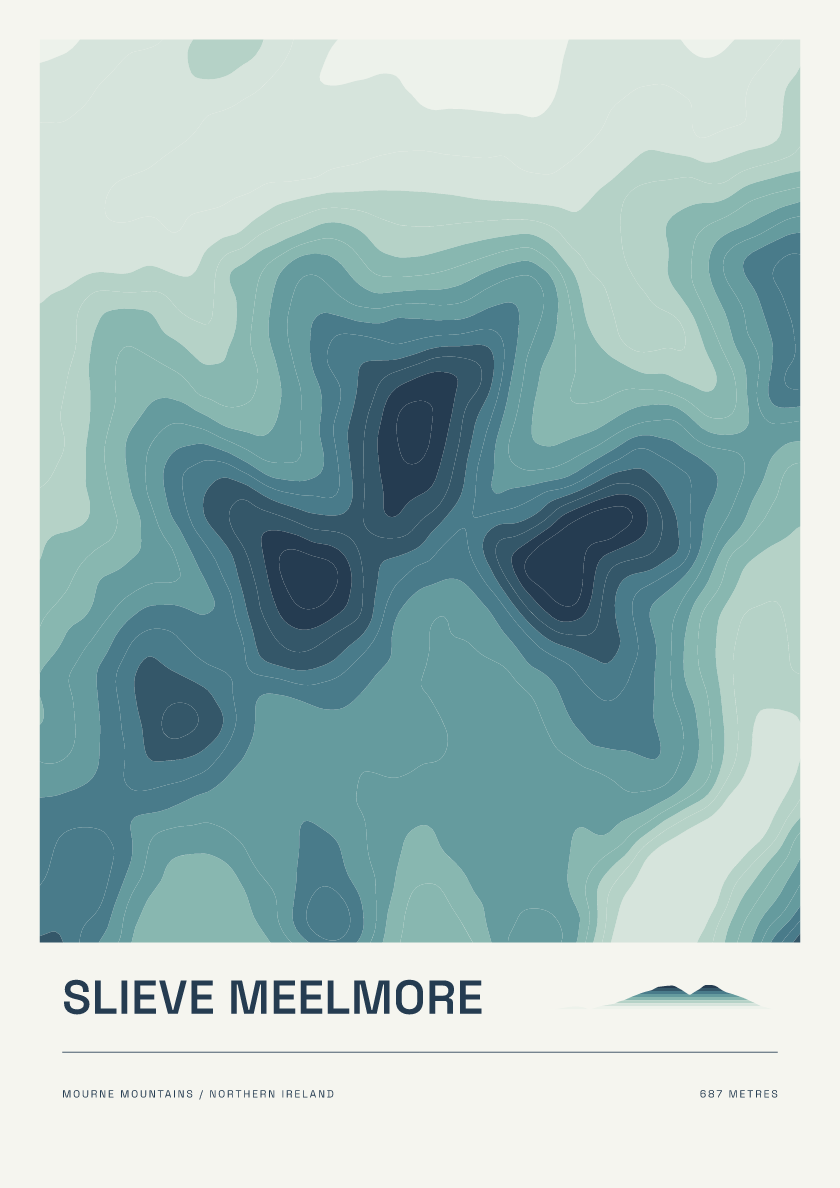
687 m · Mourne Mountains · Northern Ireland · Coastal
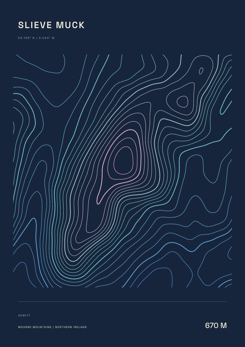
670 m · Mourne Mountains · Northern Ireland · Nightfall
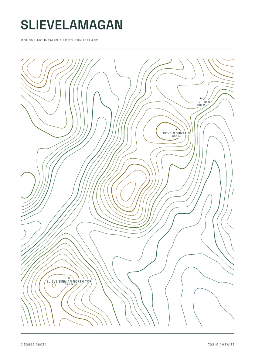
702 m · Mourne Mountains · Northern Ireland · Carto
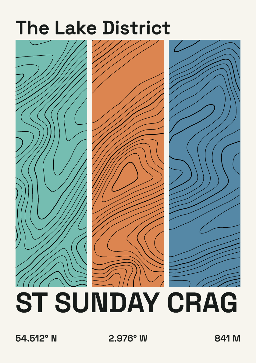
841 m · Lake District · England · Stripes
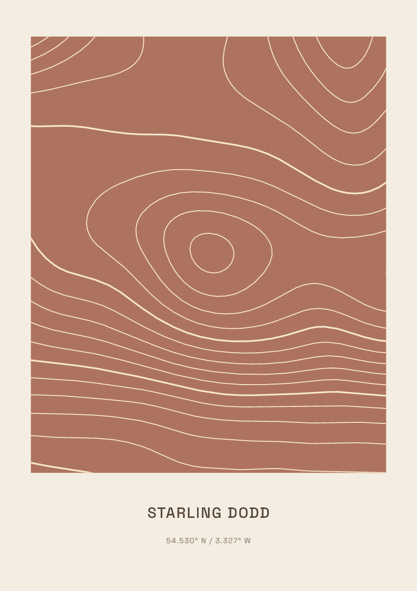
633 m · Lake District · England · Clay
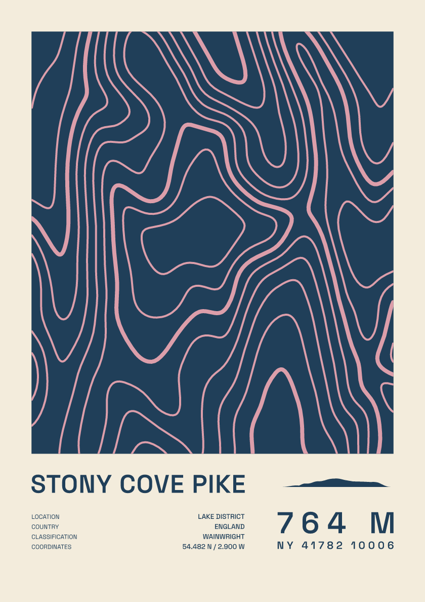
764 m · Lake District · England · Fact sheet