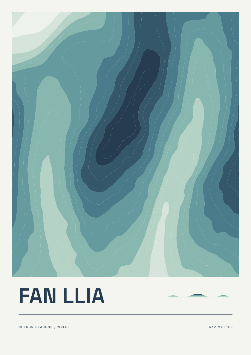
Fan Llia
From £18632 m · Brecon Beacons · Wales · Coastal
Browse contour posters of the Hewitts: hills in England, Wales and Ireland over 2,000 feet with at least 30 metres of drop. Explore summits across the Lake District, Snowdonia and beyond.
Every hill is available in 6 designs. Browse the mix below or choose a design to see it across the collection.
632 m · Brecon Beacons · Wales · Coastal
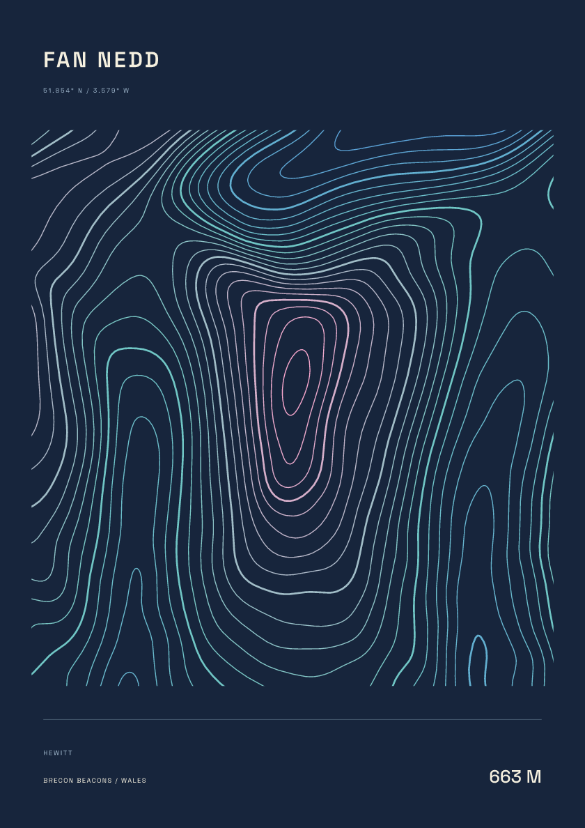
663 m · Brecon Beacons · Wales · Nightfall
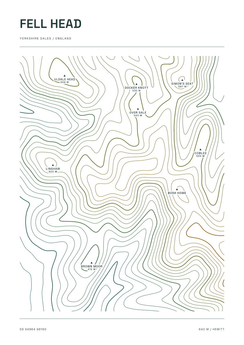
640 m · Yorkshire Dales · England · Carto
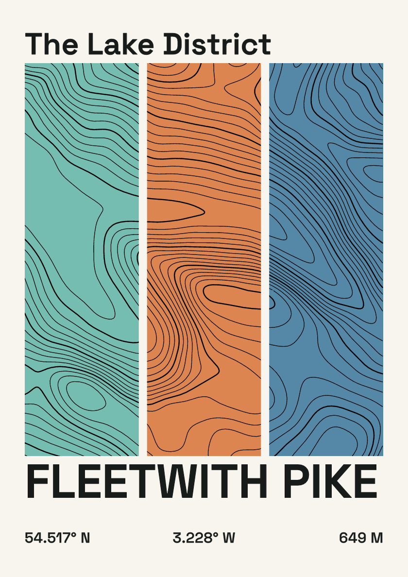
649 m · Lake District · England · Stripes
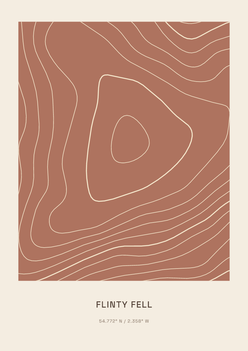
615 m · North Pennines · England · Clay
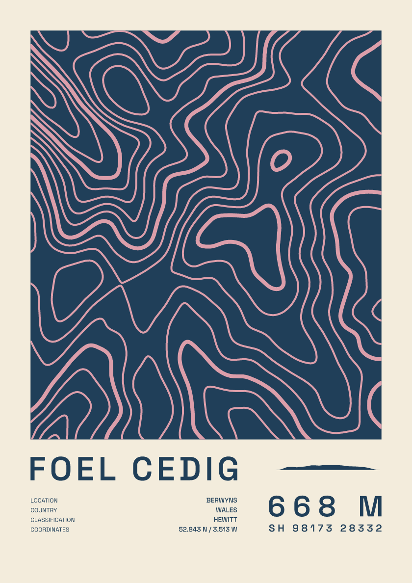
668 m · Berwyns · Wales · Fact sheet
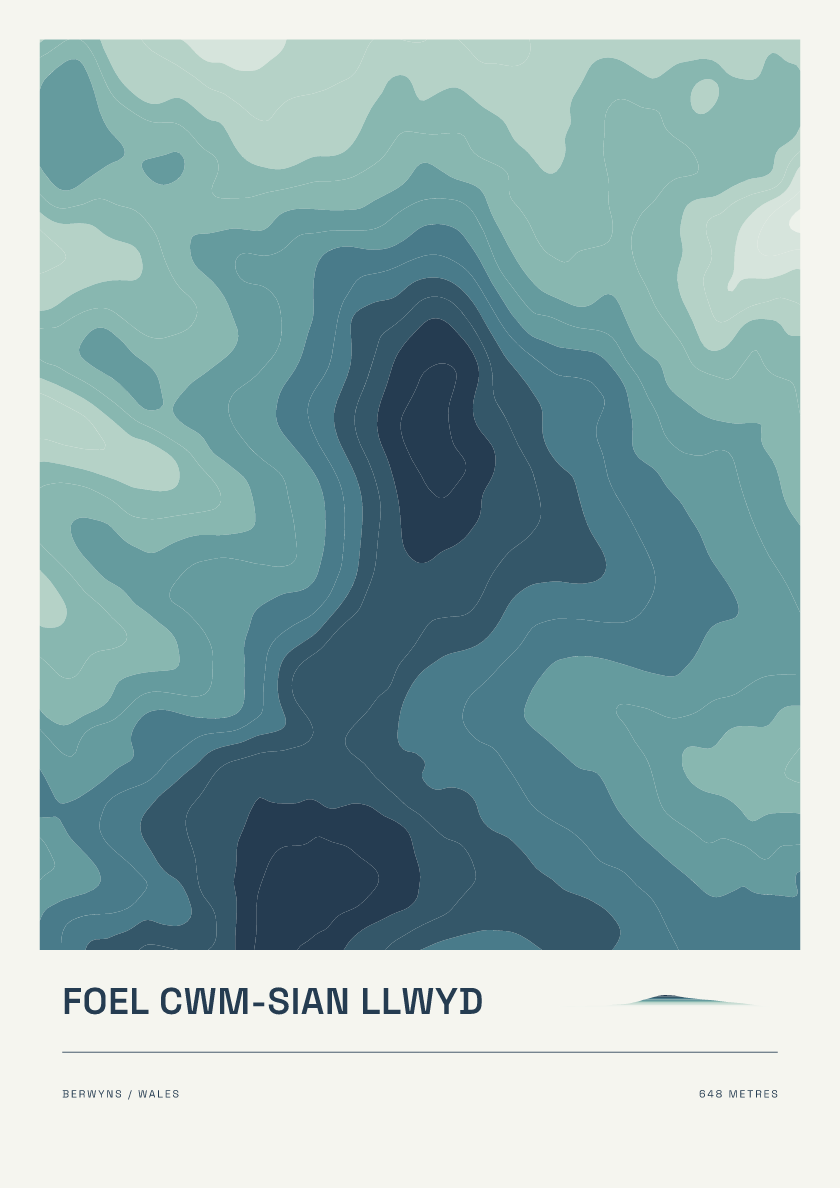
648 m · Berwyns · Wales · Coastal
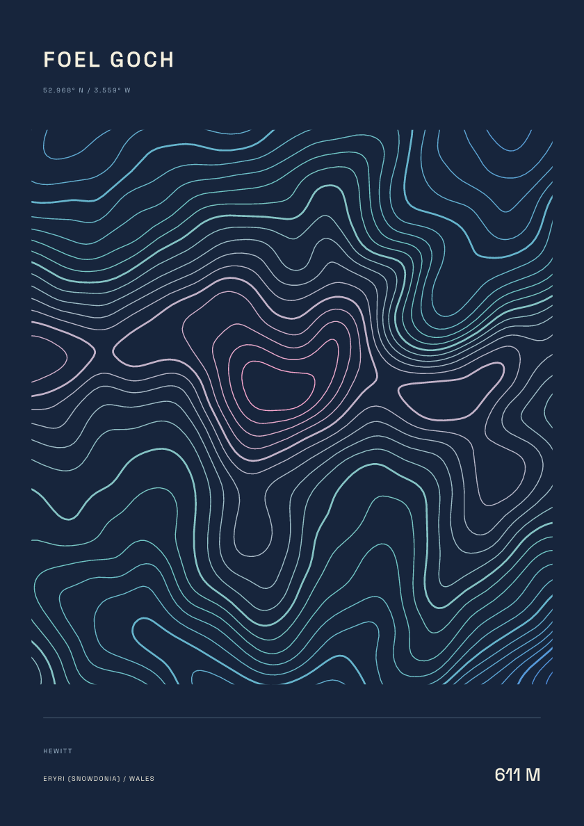
611 m · Eryri (Snowdonia) · Wales · Nightfall
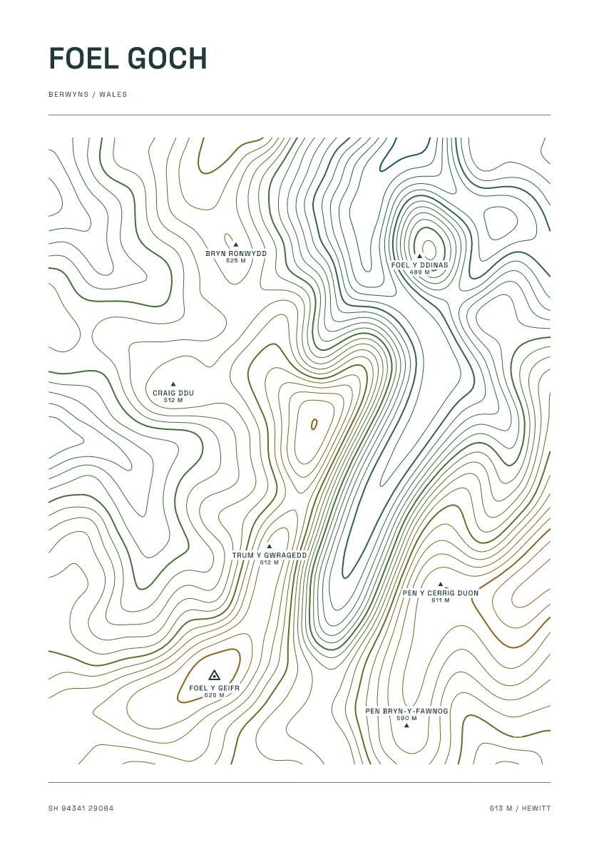
613 m · Berwyns · Wales · Carto
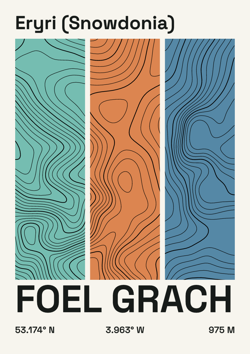
975 m · Eryri (Snowdonia) · Wales · Stripes
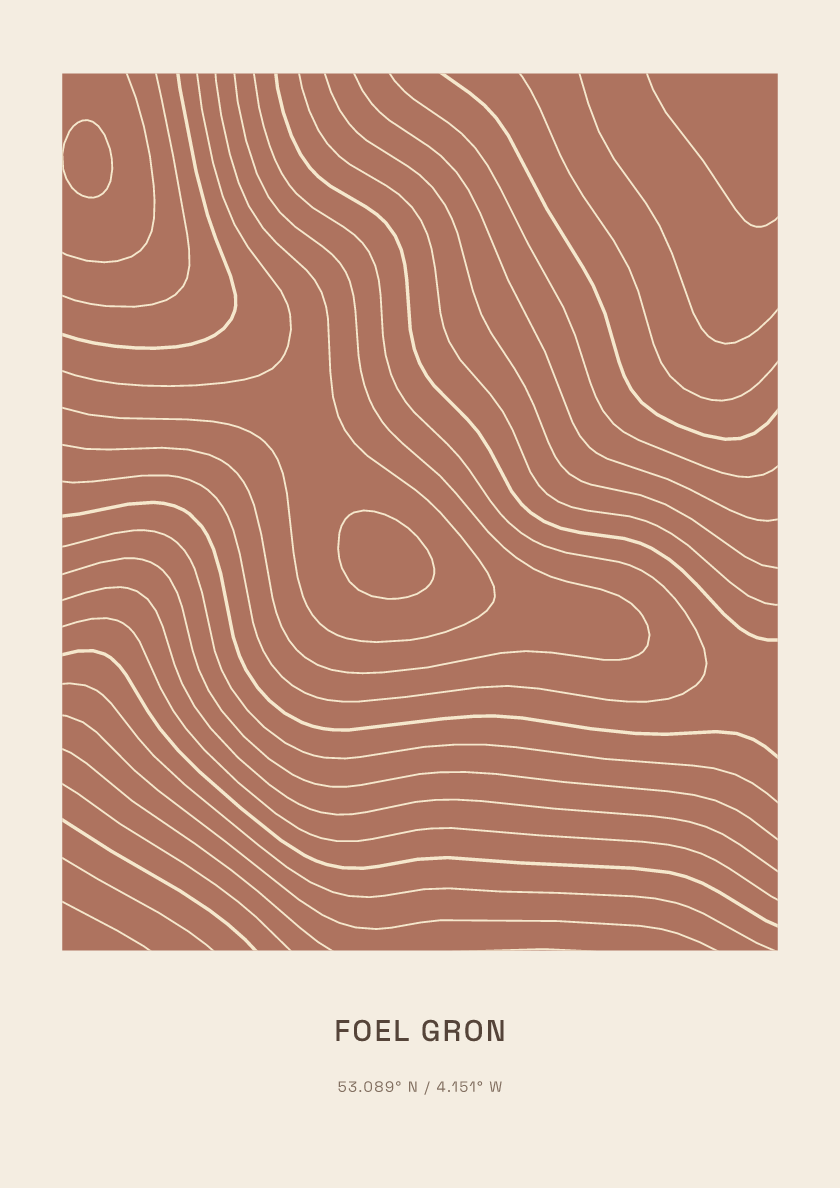
629 m · Eryri (Snowdonia) · Wales · Clay
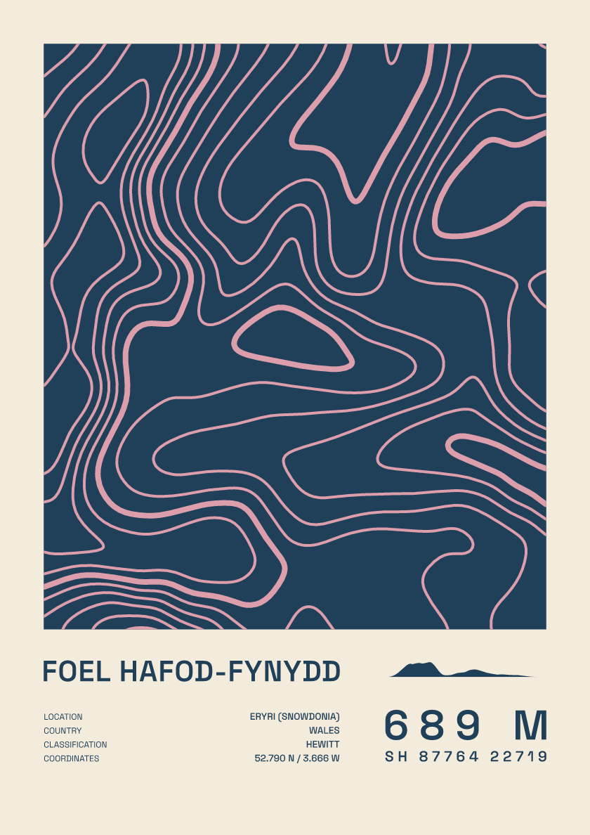
689 m · Eryri (Snowdonia) · Wales · Fact sheet
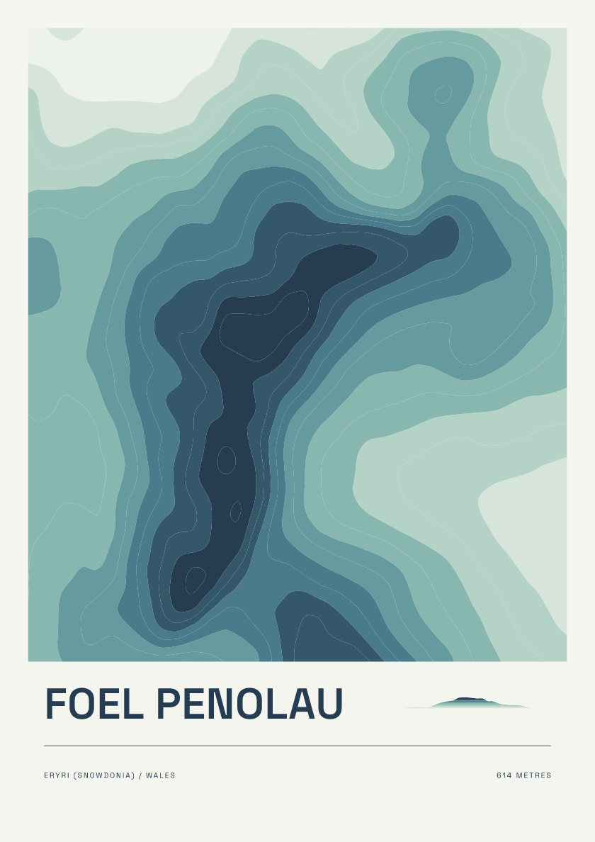
614 m · Eryri (Snowdonia) · Wales · Coastal

691 m · Berwyns · Wales · Nightfall
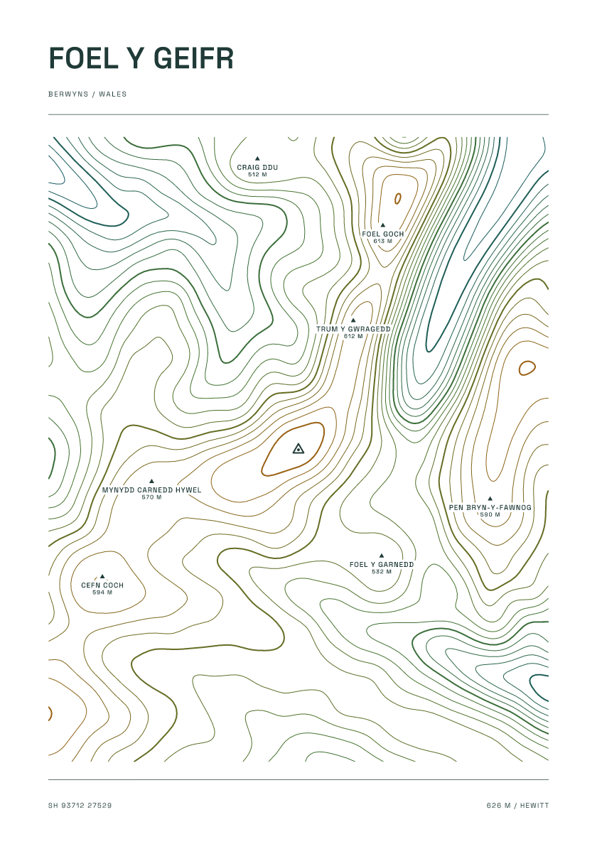
626 m · Berwyns · Wales · Carto
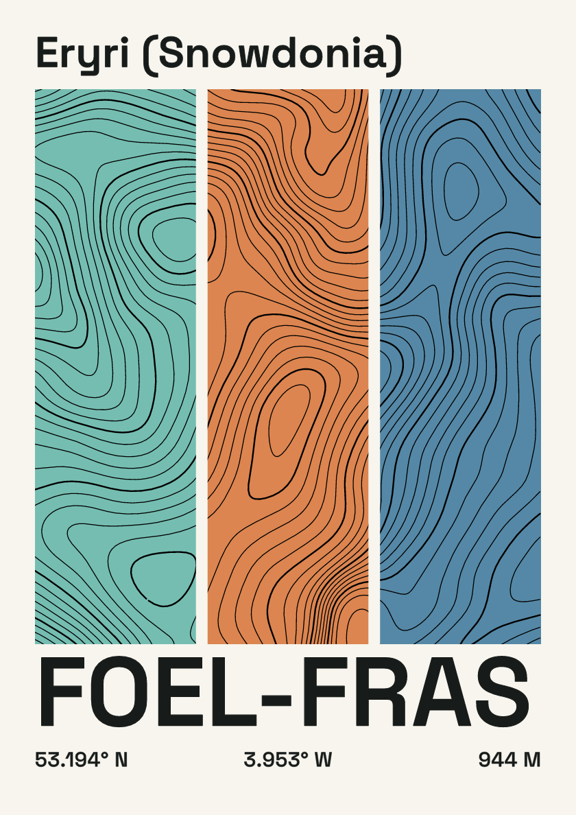
944 m · Eryri (Snowdonia) · Wales · Stripes
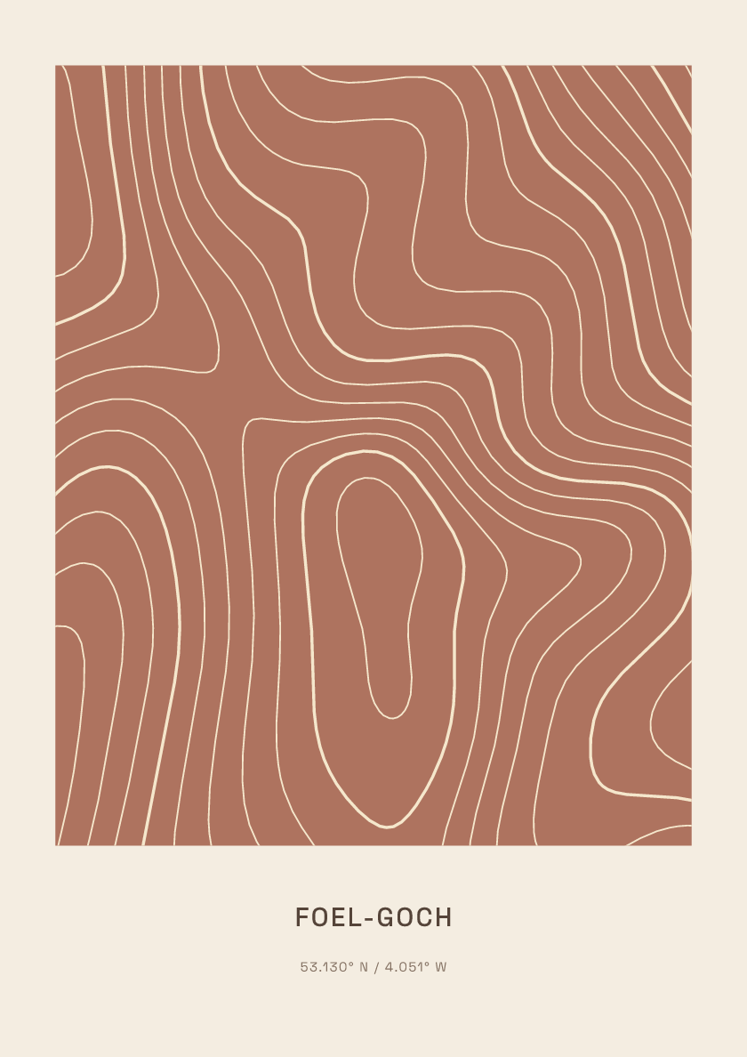
831 m · Eryri (Snowdonia) · Wales · Clay
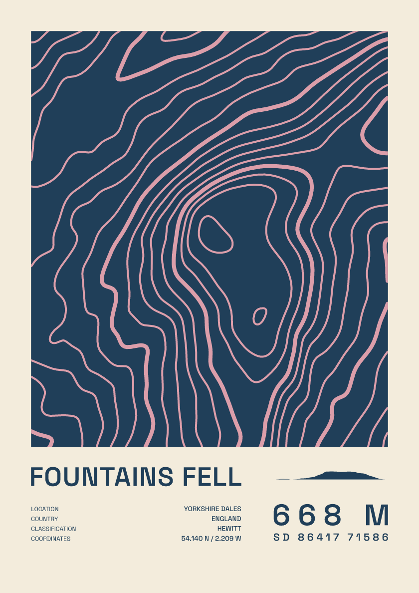
668 m · Yorkshire Dales · England · Fact sheet
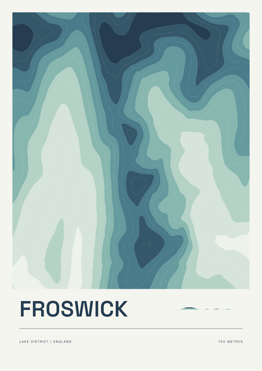
720 m · Lake District · England · Coastal
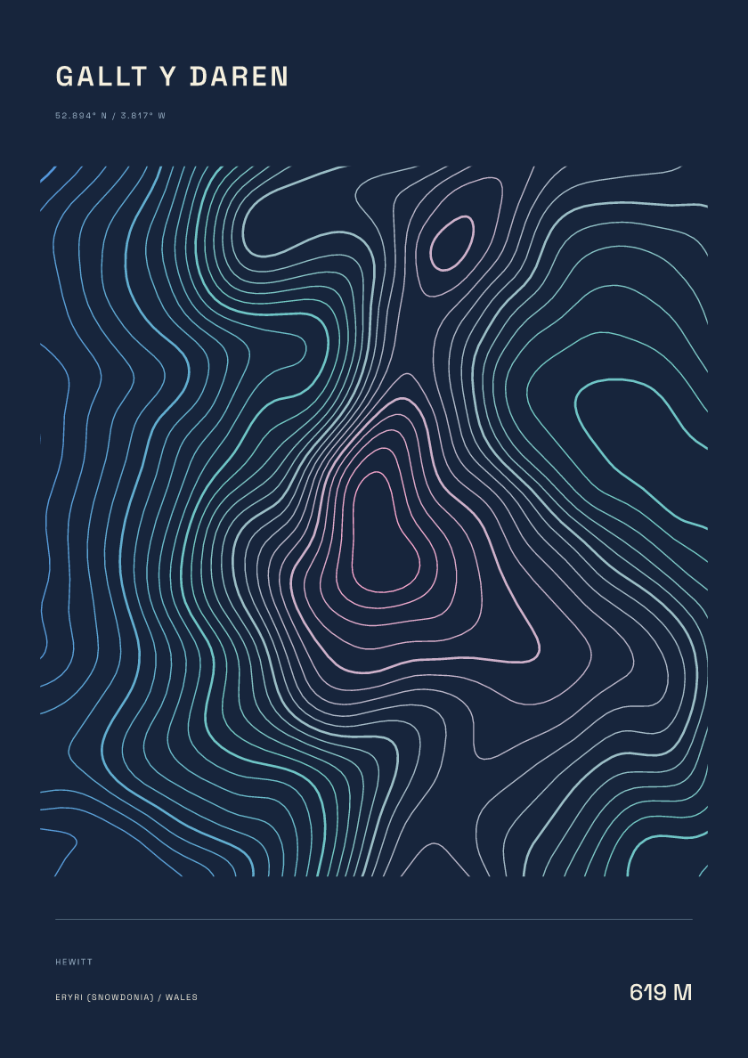
619 m · Eryri (Snowdonia) · Wales · Nightfall
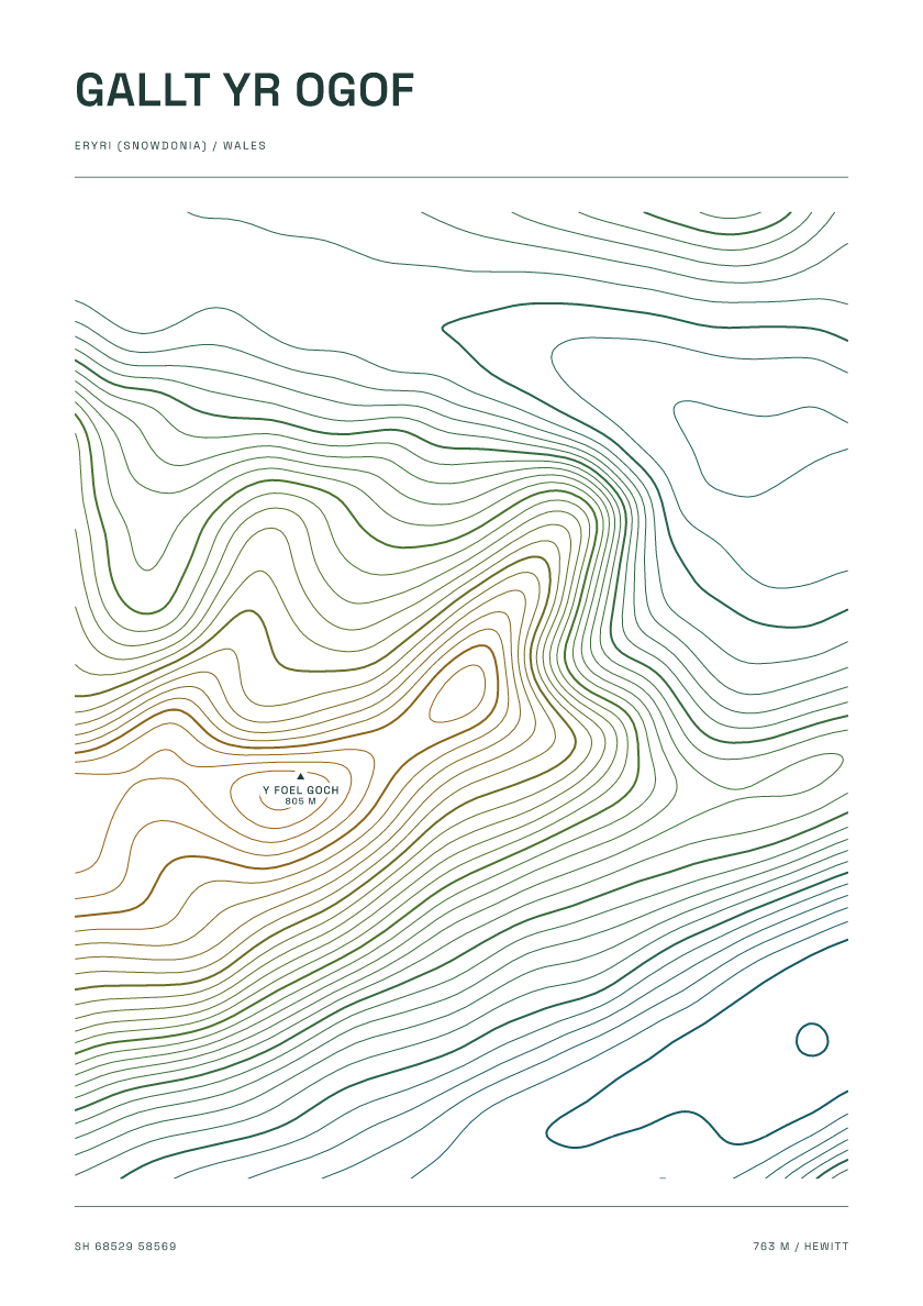
763 m · Eryri (Snowdonia) · Wales · Carto
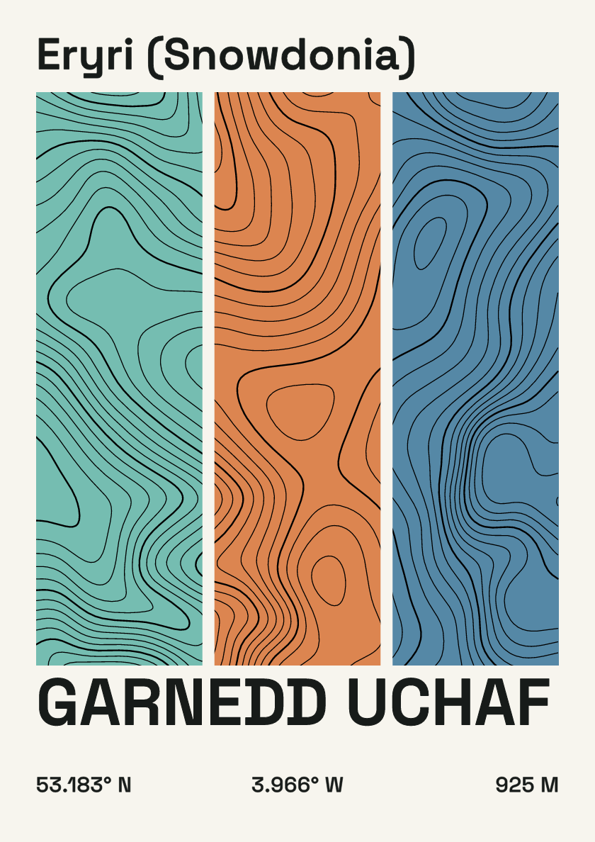
925 m · Eryri (Snowdonia) · Wales · Stripes
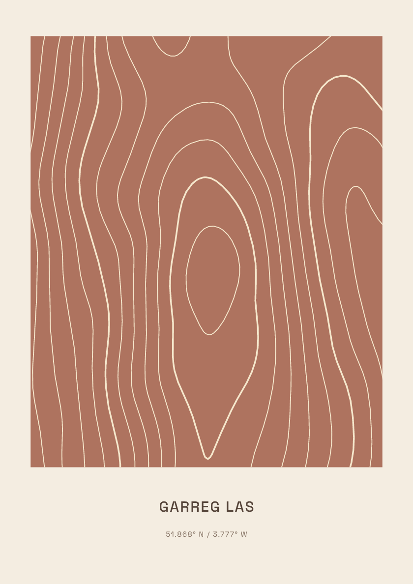
635 m · Brecon Beacons · Wales · Clay
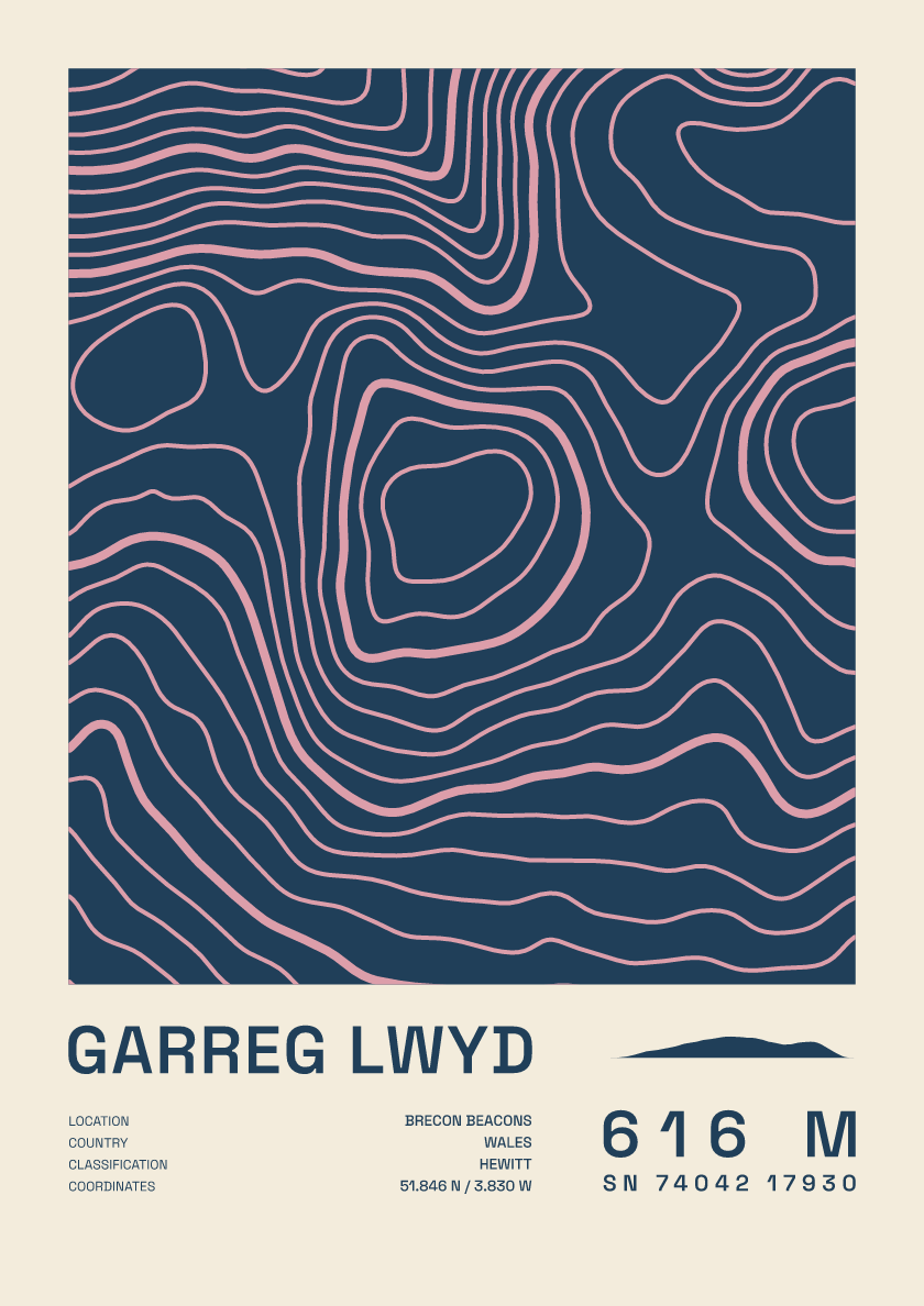
616 m · Brecon Beacons · Wales · Fact sheet
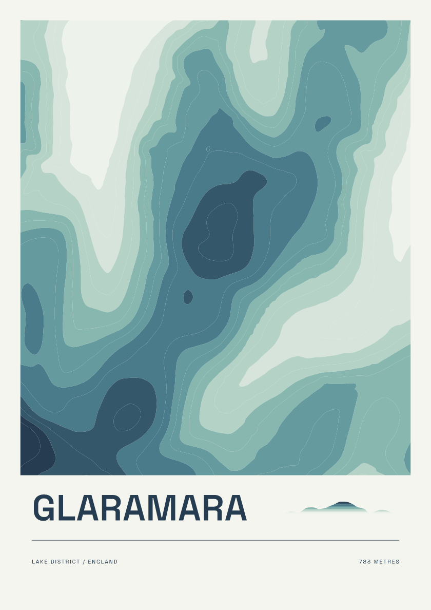
783 m · Lake District · England · Coastal
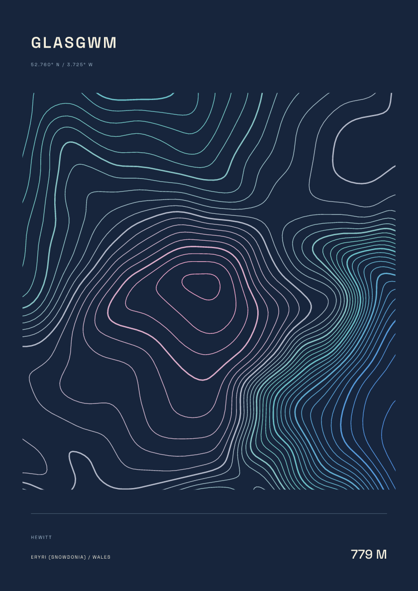
779 m · Eryri (Snowdonia) · Wales · Nightfall
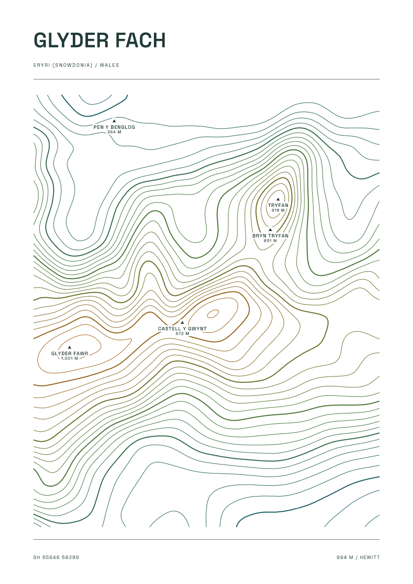
994 m · Eryri (Snowdonia) · Wales · Carto
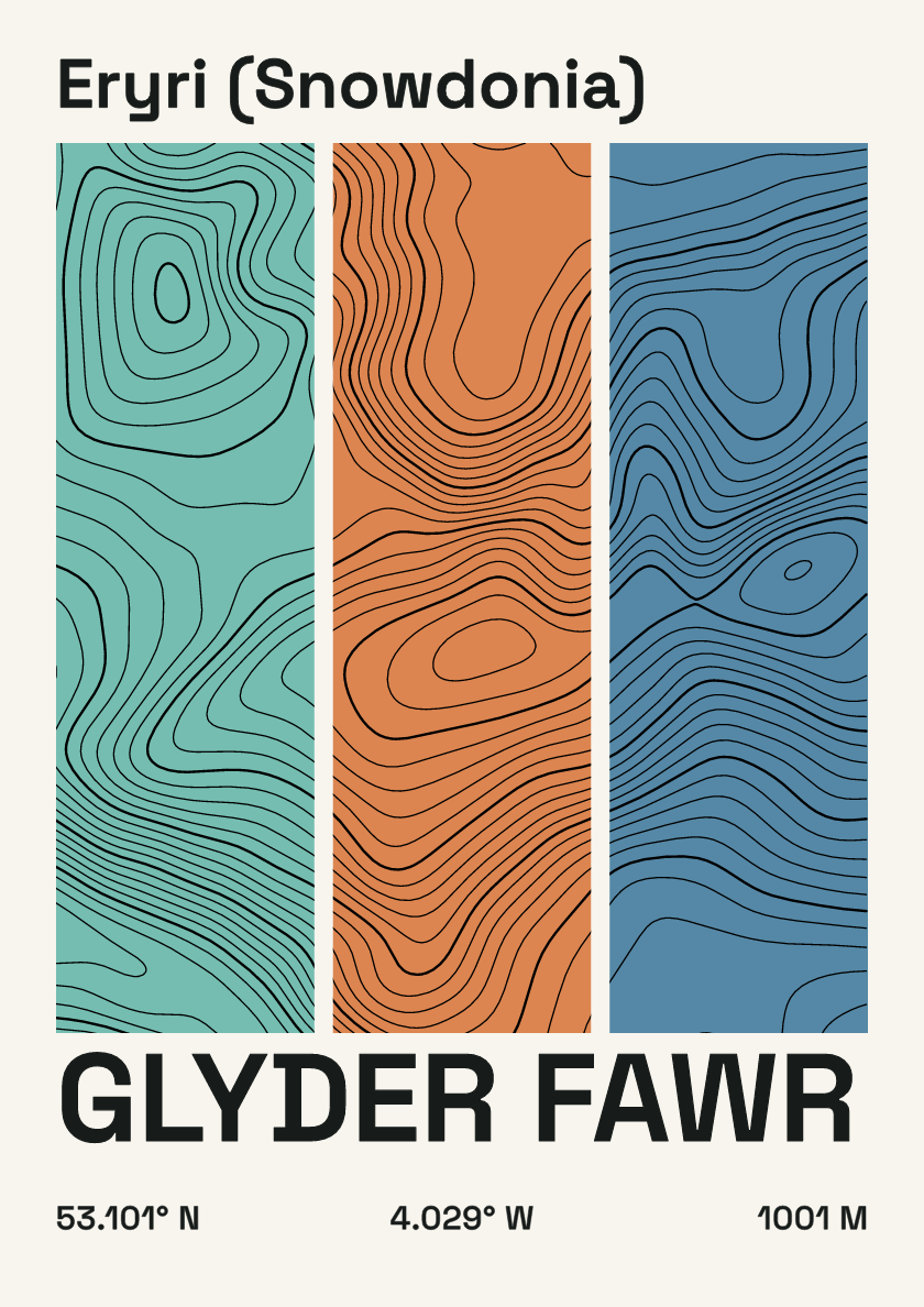
1,001 m · Eryri (Snowdonia) · Wales · Stripes
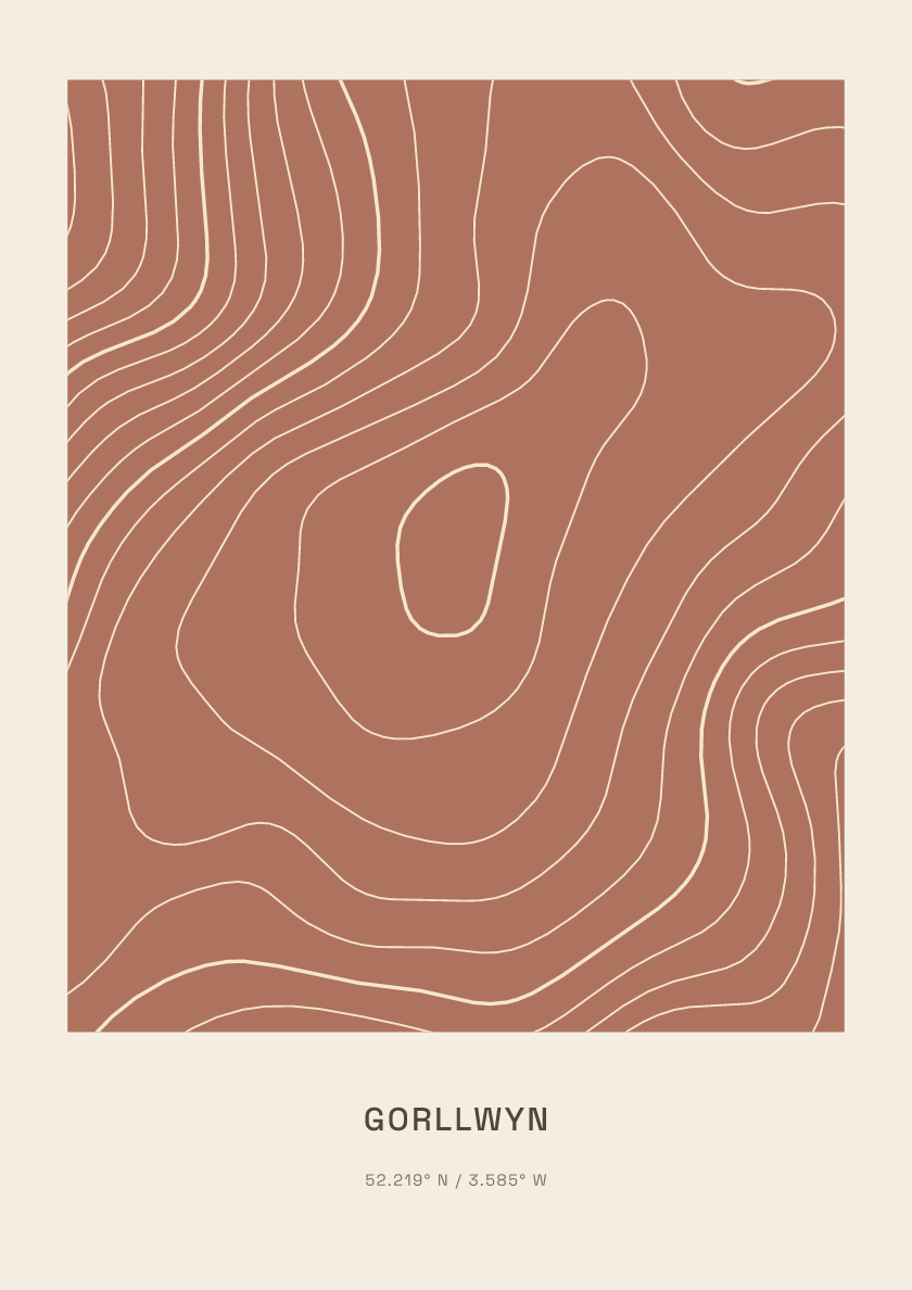
613 m · Central Wales · Wales · Clay
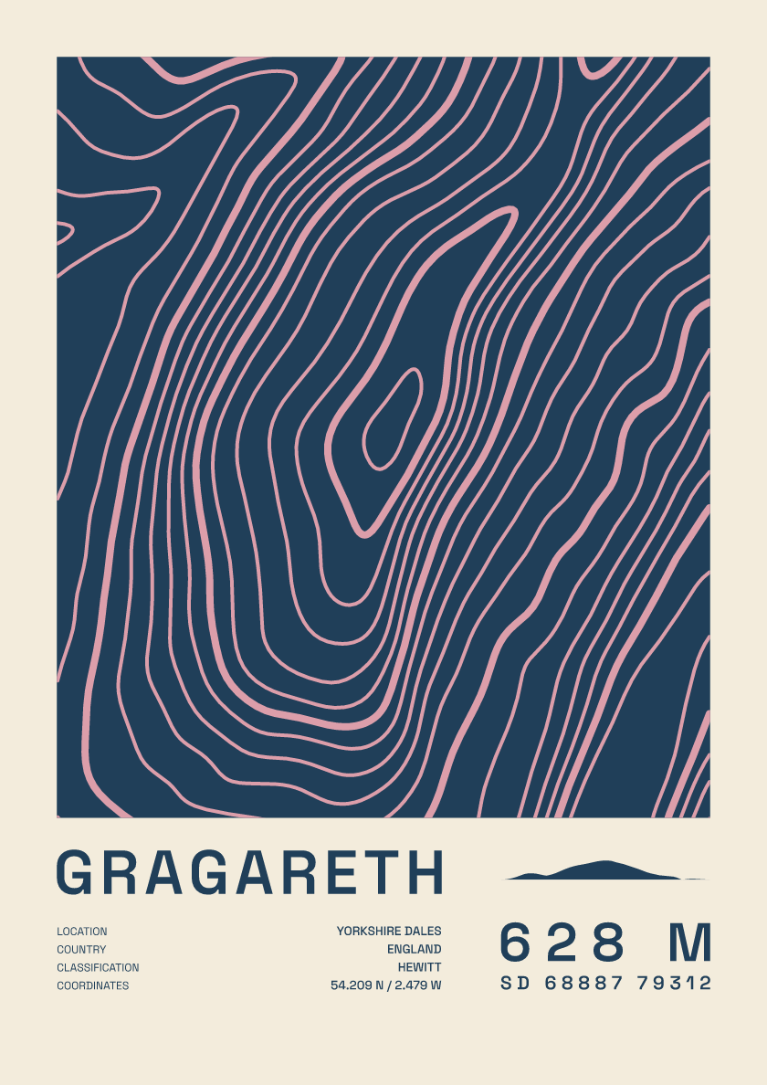
628 m · Yorkshire Dales · England · Fact sheet
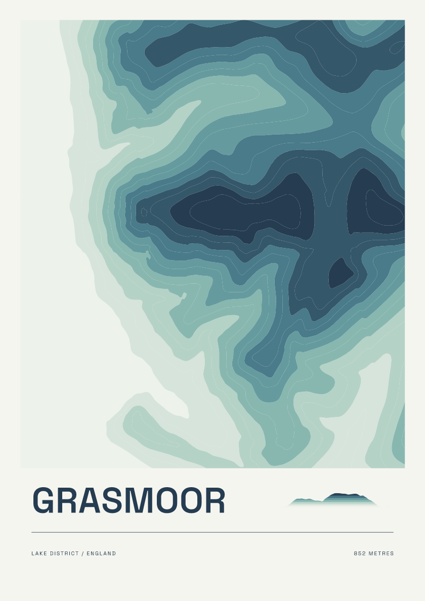
852 m · Lake District · England · Coastal
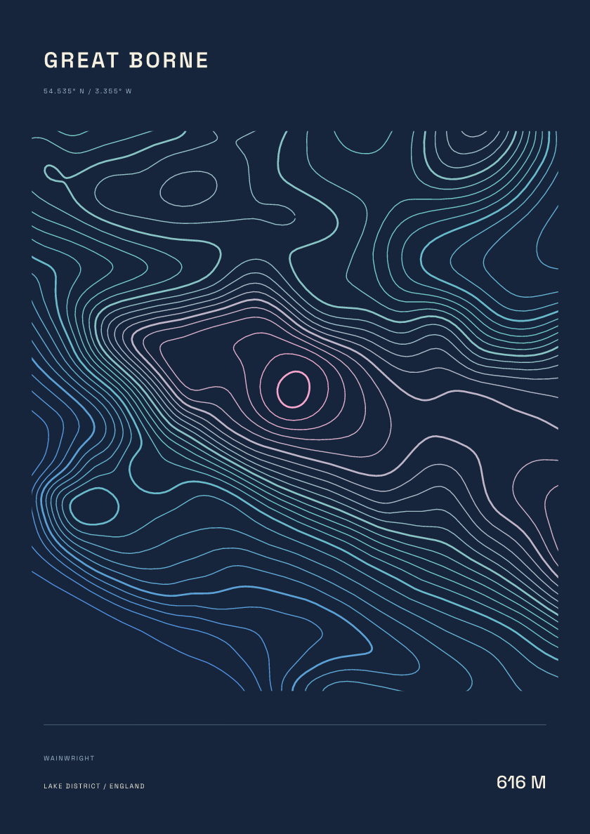
616 m · Lake District · England · Nightfall
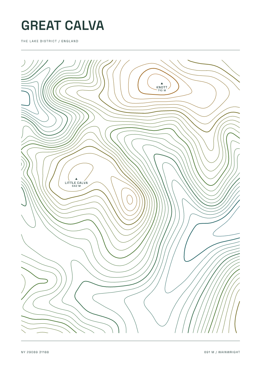
691 m · Lake District · England · Carto
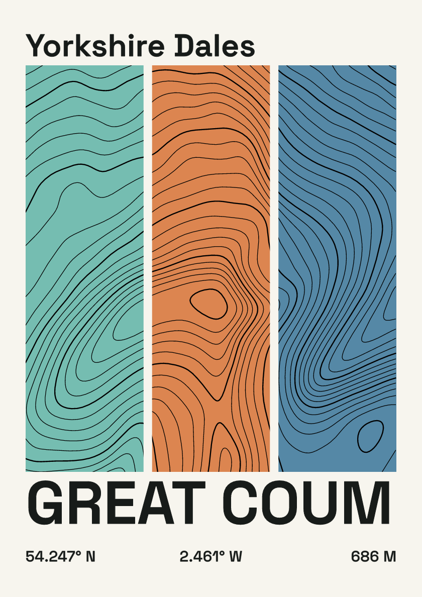
686 m · Yorkshire Dales · England · Stripes
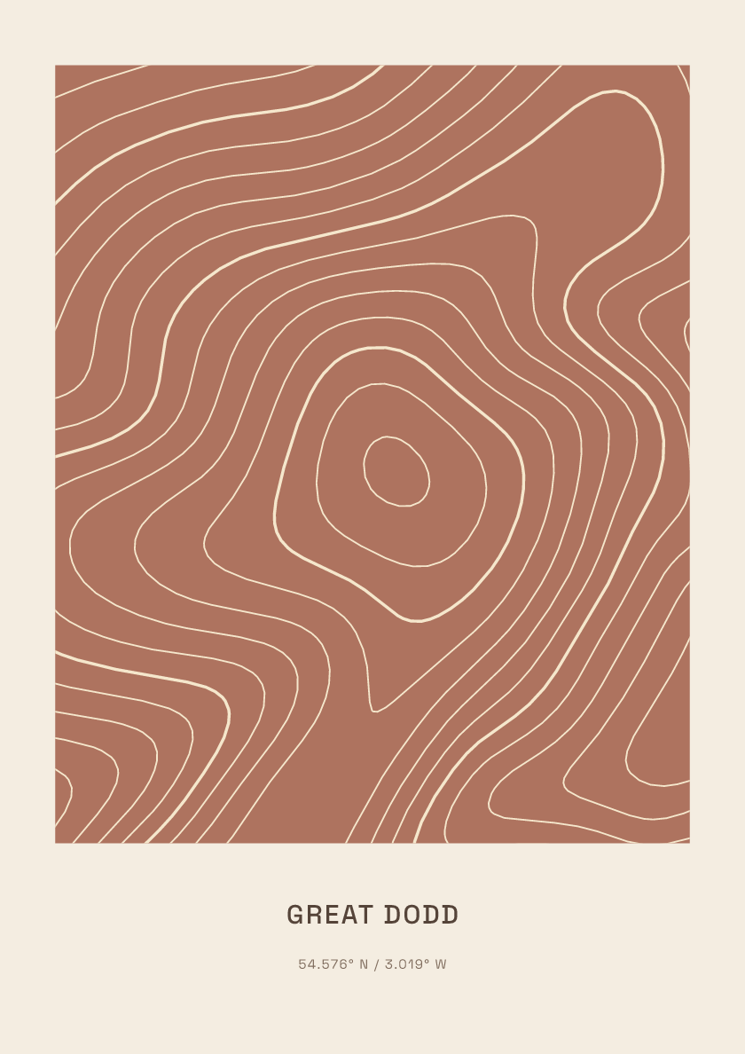
857 m · Lake District · England · Clay
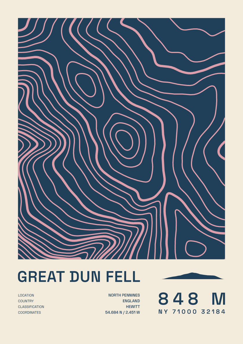
848 m · North Pennines · England · Fact sheet
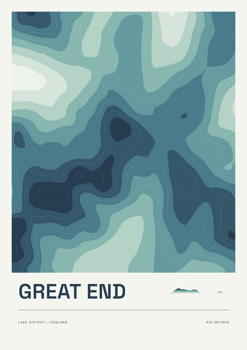
910 m · Lake District · England · Coastal
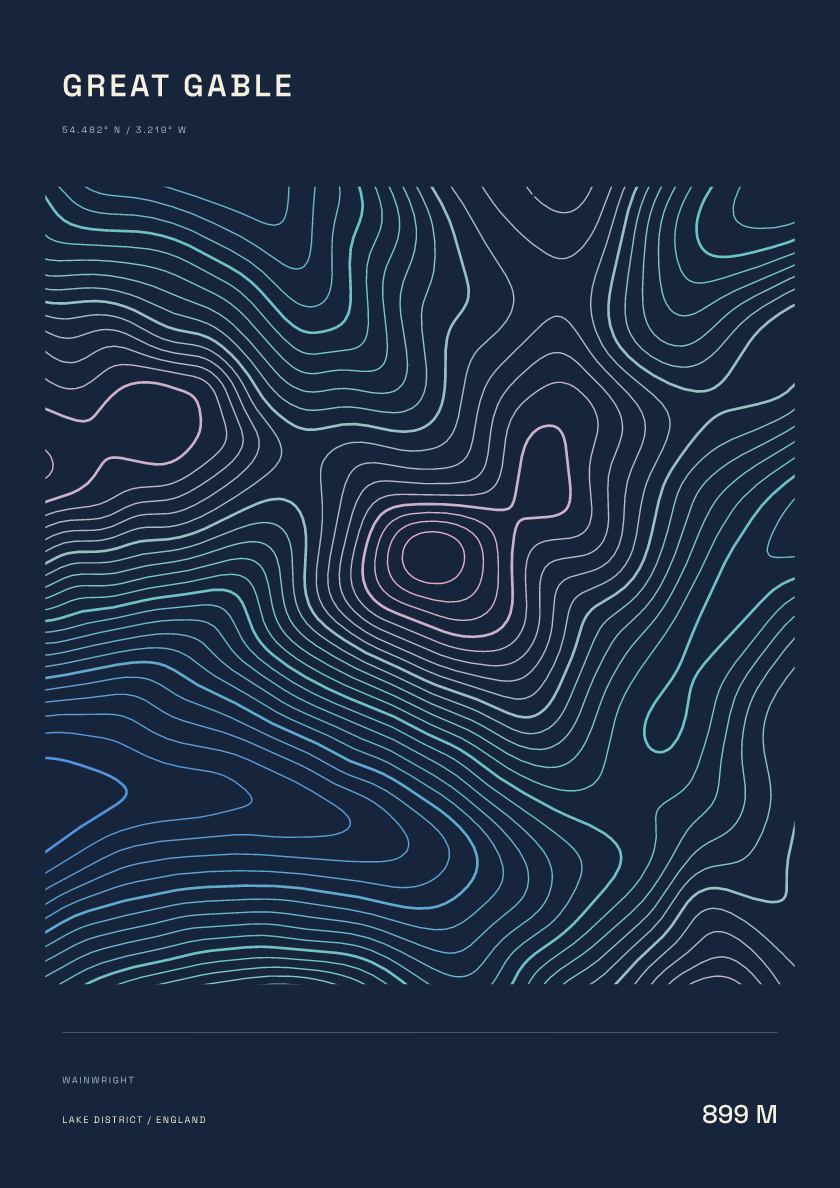
899 m · Lake District · England · Nightfall
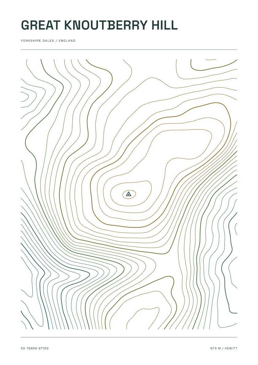
673 m · Yorkshire Dales · England · Carto
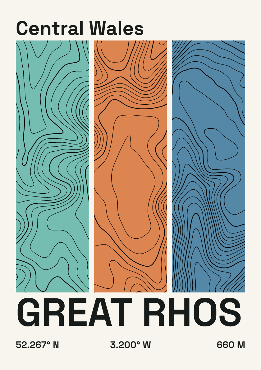
660 m · Central Wales · Wales · Stripes
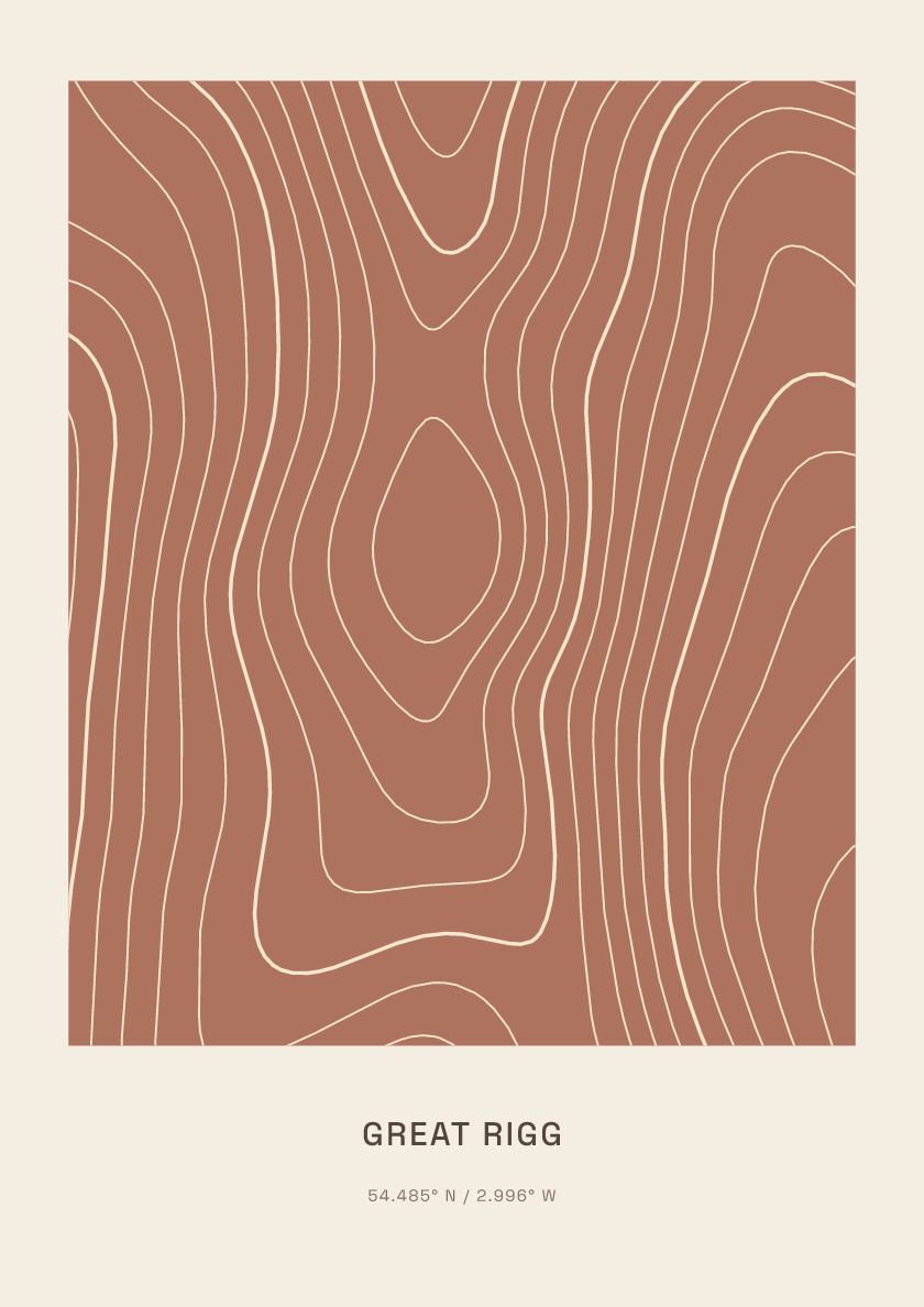
766 m · Lake District · England · Clay
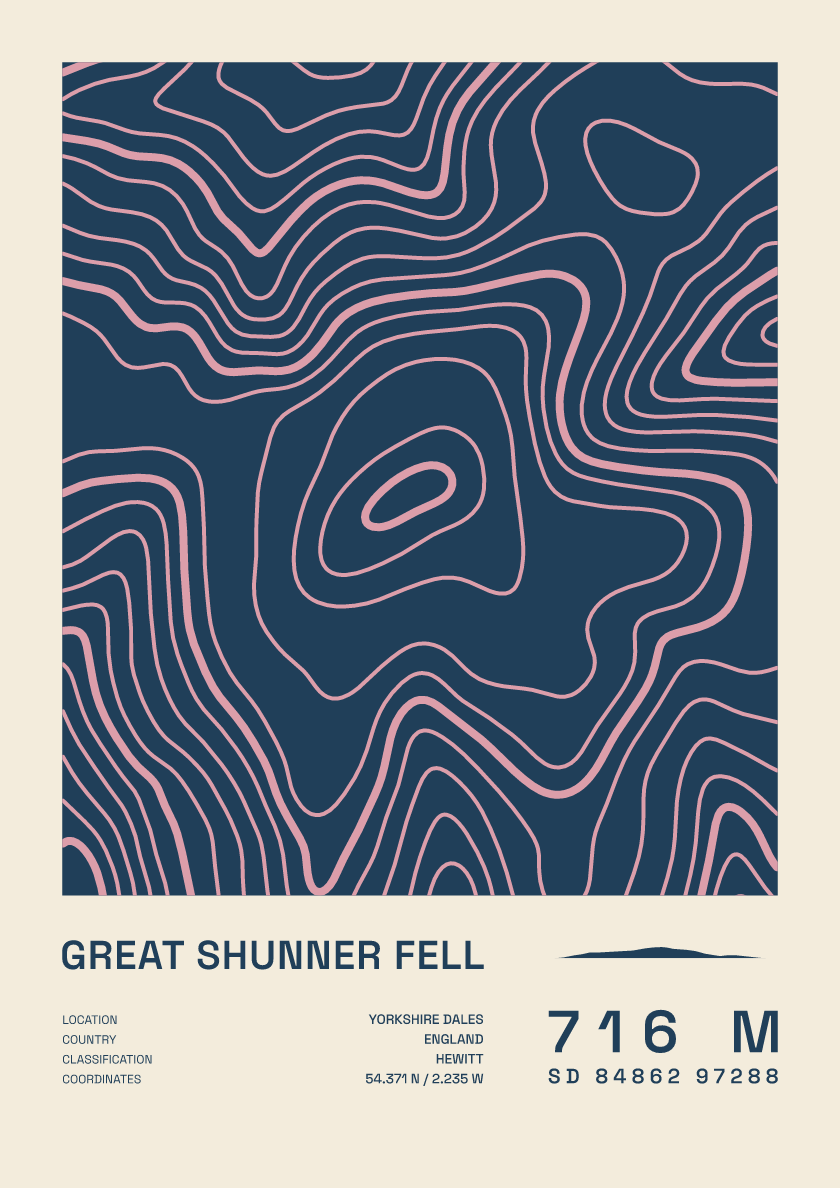
716 m · Yorkshire Dales · England · Fact sheet
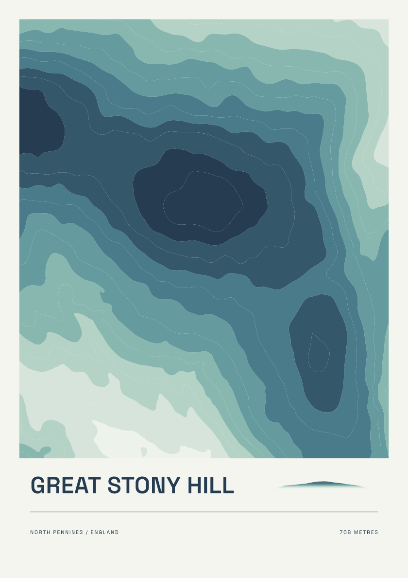
708 m · North Pennines · England · Coastal
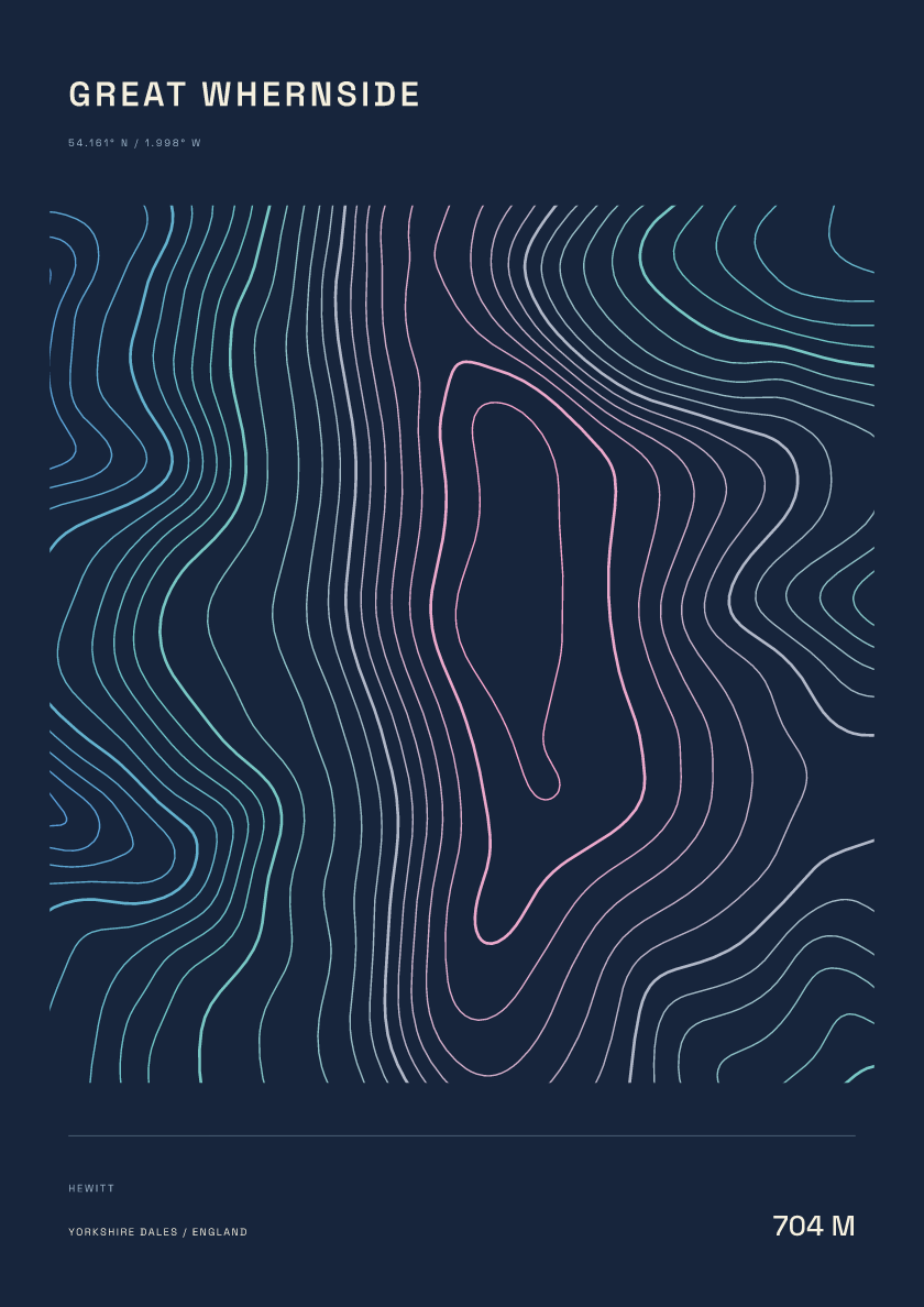
704 m · Yorkshire Dales · England · Nightfall
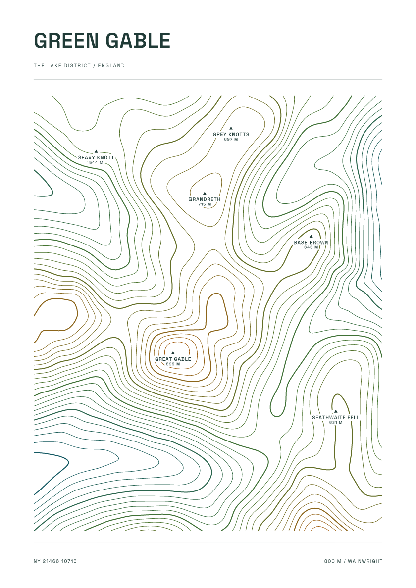
800 m · Lake District · England · Carto
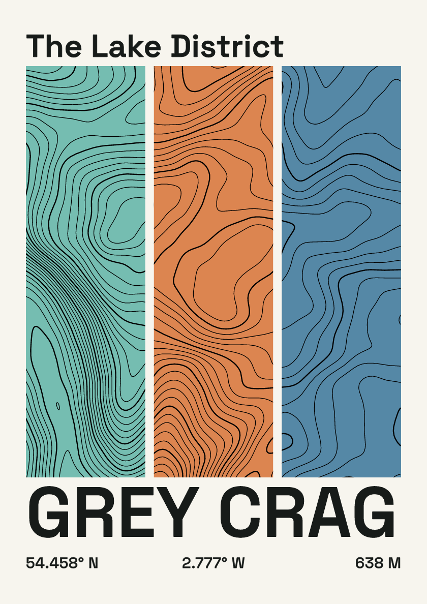
638 m · Lake District · England · Stripes
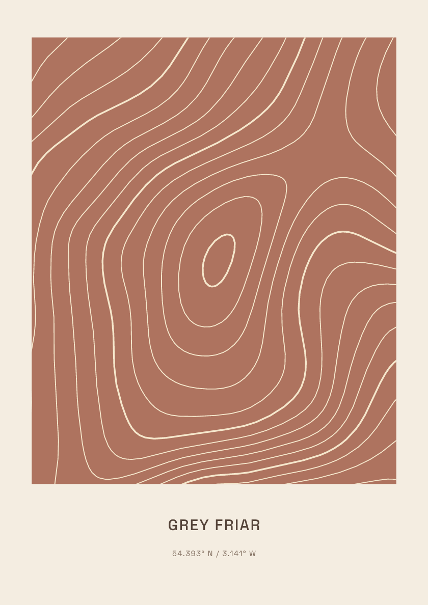
773 m · Lake District · England · Clay
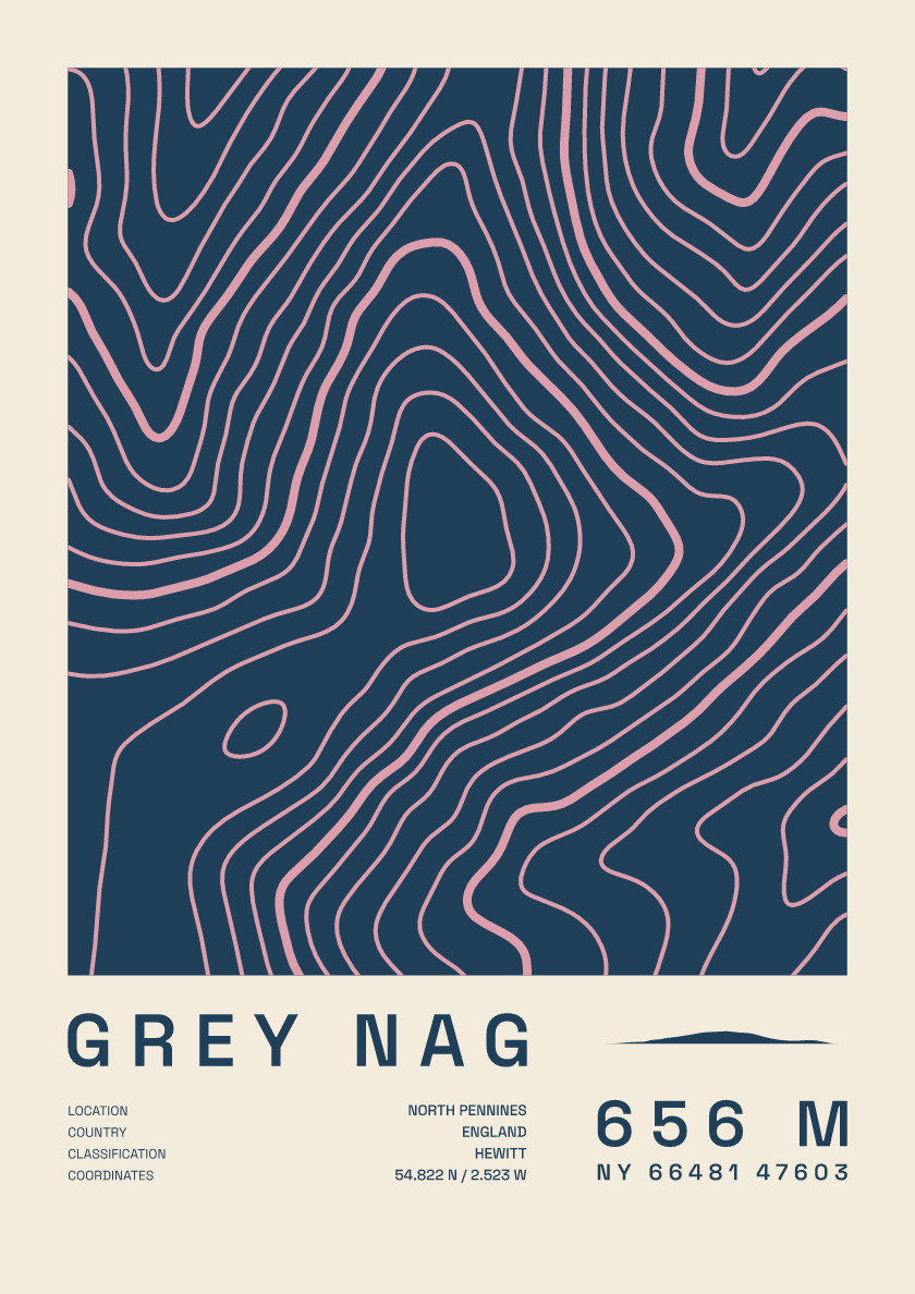
656 m · North Pennines · England · Fact sheet